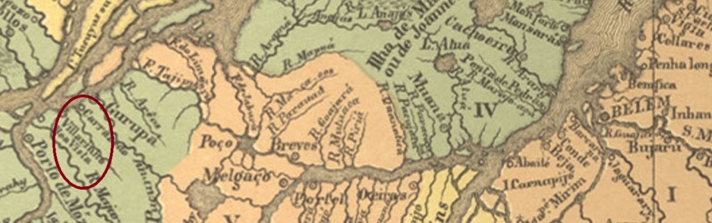
The original village of Villarinho do Monte is located in the Trás-os-Montes region of northern Portugal and had only 67 inhabitants in 2011. Its descendant, the freguesia of Santa Cruz do Villarinho do Monte was created before 1768, belonged to the Vila of Gurupá and was located close to the south bank of the Amazon, 390 km flight line west of the later provincial capital Belém do Pará. Around 1880, the village rose to the status of vila, but lost its autonomy in December 1904, when it was downgraded to the district of Porto de Moz. And so it has remained to this day.
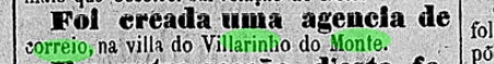
The local post office was created in November 1886, according to the regional press:

No imperial-era postmark from this locality has yet surfaced.
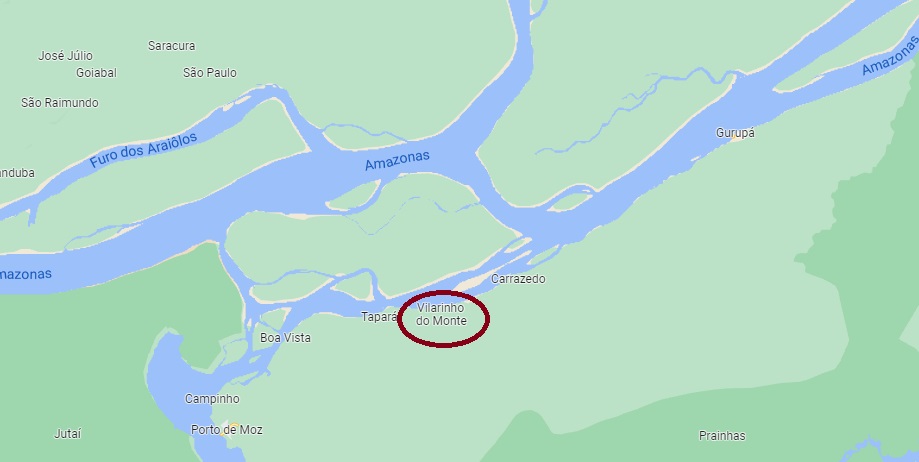
Die originale Ortschaft Villarinho do Monte liegt in der Region Trás-os-Montes im Nordportugal und zählte 2011 nur 67 Einwohner. Ihre Nachfahrerin, die Freguesia von Santa Cruz do Villarinho do Monte entstand vor 1768, gehörte der Vila von Gurupá und lag nah am Südufer des Amazonas, 390 km Fluglinie westlich der späteren Provinzhauptstadt Belém do Pará entfernt. Um 1880 stieg der Ort zur Vila auf, verlor aber seine Eigenständigkeit im Dezember 1904, als er zum Distrikt von Porto de Moz herabgestuft wurde. Und so ist es bis heute geblieben.
Das örtliche Postamt wurde im November 1886 ins Leben gerufen, wie die Regionalpresse berichtet:
Bisher ist kein Poststempel der Kaiserzeit aus dieser Ortschaft aufgetaucht.
