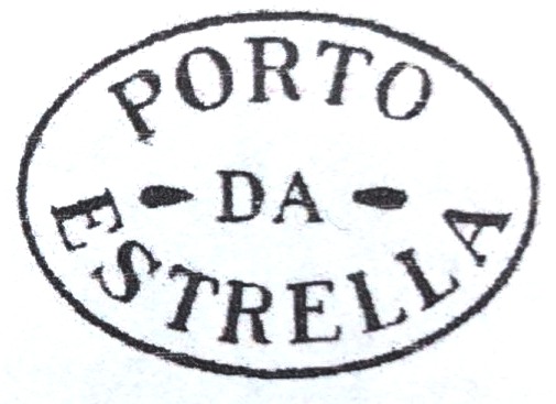
Other names: Porto da Estrella
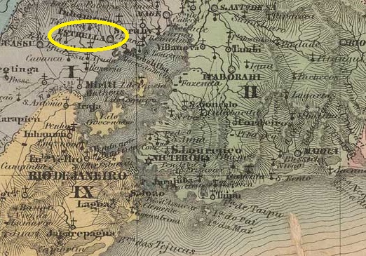
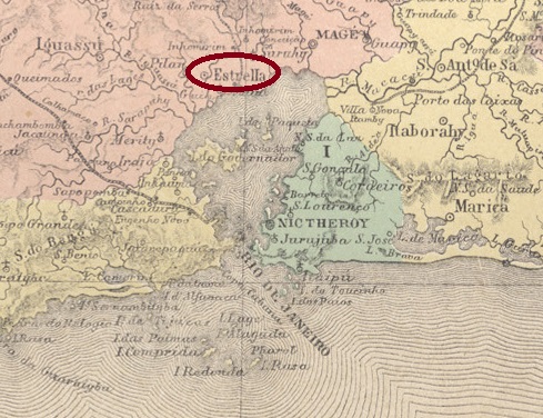
Founded in January 1755, Arraial do Porto da Estrela belonged to the Vila de N. Sra. da Piedade do Inhomirim and was located on the west bank of the Rio da Estrela, 50 kilometres north of the capital Rio de Janeiro. At the time, the harbour was conveniently located near Guanabara Bay on the main road to the gold and mining province of Minas Gerais (Estrada Real). The settlement grew very quickly and became an independent vila in May 1846. A period of decline followed, caused by epidemics, mismanagement and, above all, the construction of railway lines away from the old trade route. A little further north, the Estrella railway station (later: Joaquim Távora, today: Imbarié) was opened in 1888 by the E.F. Principe do Grão-Pará railway company, which occasionally leads to confusion with the old vila.
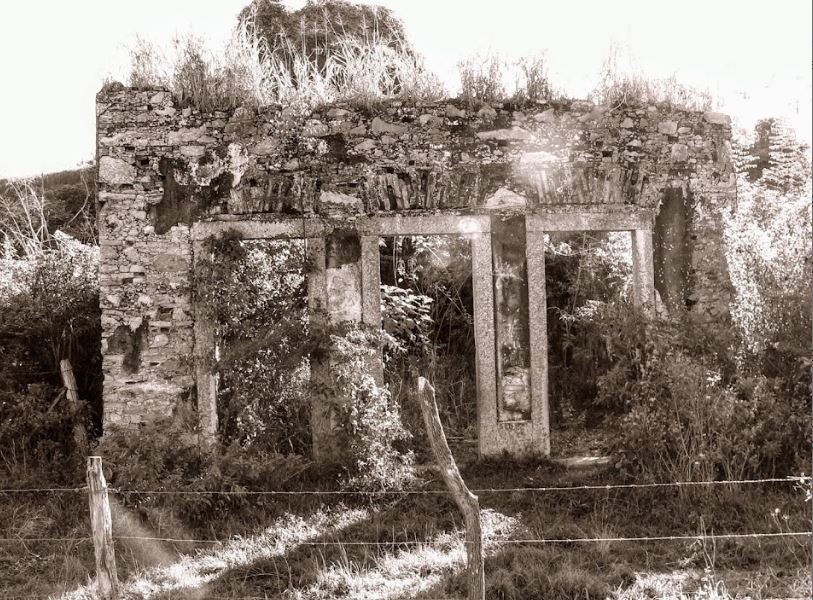
The once proud and prosperous locality, which became a neighbourhood in the district of Inhomirim in the Município de Magé in May 1892, was never able to recover from its social and economic decline. Today, only a few ruins bear witness to its former prosperity:
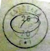
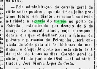
As the regional press reported, there had been a post office there since March 1846:

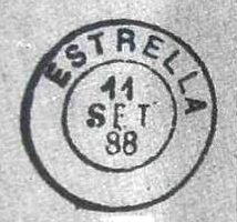
This was closed in January 1897, as P. Novaes (agenciaspostais.com.br) writes. The oldest cancel is PRJ-2600a, shown with no. 1414 by P. Ayres in Catálogo de Carimbos Brasil-Império (S. Paulo, 1937, 1942):
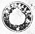
This was followed by the rare French type ERJ-0530a (collect. Fuad Ferreira Fo.):
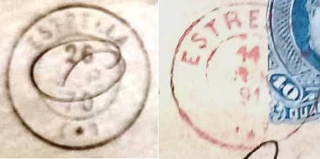
As there was also a French type postmark from Estrella in the southern Brazilian province of São Pedro do Rio Grande shortly afterwards, here is a comparison of the two postmarks (Estrella/RS on the right):
Porto da Estrella has two more postmarks from the imperial period, which are illustrated in R. Koester’s Carimbologia XVIII: the double circle ERJ-0530b and the cachet ERJ-0530c:
Andere Namen: Porto da Estrella
Der im Januar 1755 gegründete Arraial do Porto da Estrela gehörte zur Vila de N. Sra. da Piedade do Inhomirim und lag am Westufer des Rio da Estrela, 50 km nördlich der Hauptstadt Rio de Janeiro. Die Hafenanlage lag damals verkehrsgünstig nahe der Guanabara-Bucht an der Hauptstraße in die Gold- und Bergbauprovinz Minas Gerais (Estrada Real). Die Siedlung wuchs sehr schnell und wurde im Mai 1846 eine eigenständige Vila. Es folgte eine Zeit des Niedergangs, verursacht durch Epidemien, Misswirtschaft und vor allem durch den Bau von Eisenbahnlinien abseits der alten Handelsroute. Etwas weiter nördlich wurde 1888 der Bahnhof Estrella (später: Joaquim Távora, heute: Imbarié) von der Eisenbahngesellschaft E.F. Principe do Grão-Pará eröffnet, was gelegentlich zu Verwechslungen mit der alten Vila führt.
Die einst stolze und wohlhabende Vila, die im Mai 1892 zum Ortsteil im Bezirk Inhomirim des Município de Magé wurde, konnte sich vom sozialen und wirtschaftlichen Niedergang nicht mehr erholen. Heute zeugen nur noch wenige Ruinen vom damaligen Wohlstand:

Wie die regionale Presse berichtete, gab es dort seit März 1846 ein Postamt:
Dieses wurde im Januar 1897 geschlossen, wie P. Novaes (agenciaspostais.com.br) schreibt. Der älteste Stempel ist PRJ-2600a, gezeigt mit Nr. 1414 von P. Ayres in Catálogo de Carimbos Brasil-Império (S. Paulo, 1937, 1942):

Es folgte der seltene französische Typ ERJ-0530a (Samml. Fuad Ferreira Fo.):

Da es kurz darauf auch einen „französischen“ Stempel aus Estrella in der südbrasilianischen Provinz São Pedro do Rio Grande gab, hier ein Vergleichsbild beider Poststempel (rechts Estrella/RS):

Aus Porto da Estrella stammen noch zwei weitere Poststempel aus der Kaiserzeit, die in R. Koesters Carimbologia XVIII abgebildet sind: der Doppelkreis ERJ-0530b und der Siegelstempel ERJ-0530c:


