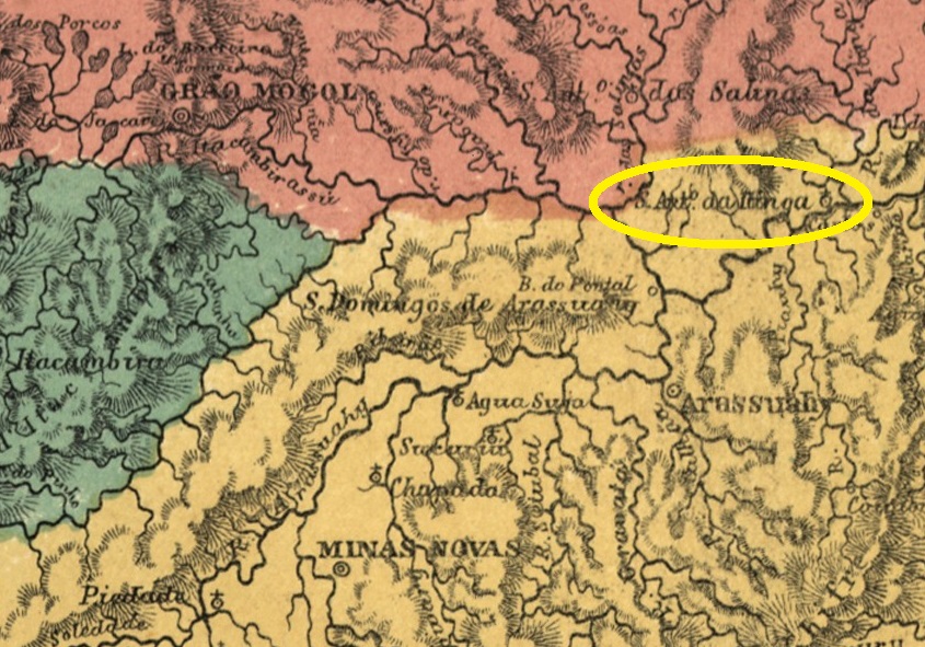
There was since 1805 the settlement of Sto. Antonio do Barreiro de Itinga on the north bank of the Jequitinhonha, 670 kilometres north of the later provincial capital Ouro Preto. In May 1850, it became the Distrito de Sto. Antonio do Itinga, which belonged to Vila de Minas Novas. This was followed in April 1854 by the elevation to a freguesia, this time under the Vila de Arassuahy. Itinga has been an independent município since December 1943. The word comes from the Tupi-guarani and means clear water.
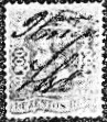
Paula Sobrinho (História Postal de Minas Gerais, Belo Horizonte, 1997) and R. Koester (Carimbologia XXIV) agree that there had been a post office there since January 1879. Initially, the stamps were cancelled by hand, as the illustration in Koester (op. cit.) shows.
Later, the double circle IMG-1385a (illustration by Claudio Coelho) was added, which also exists in red-brown:

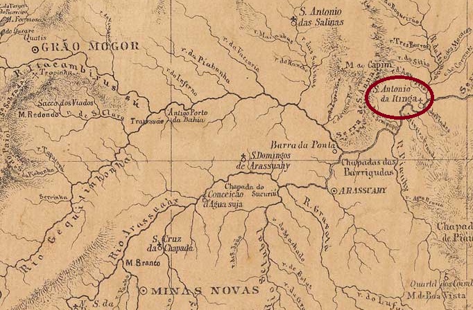
Seit 1805 existierte die Siedlung Sto. Antonio do Barreiro de Itinga am Nordufer des Jequitinhonha, 670 km nördlich der späteren Provinzhauptstadt Ouro Preto. Im Mai 1850 wurde der Distrito de Sto. Antonio do Itinga, der zu Vila de Minas Novas gehörte. Im April 1854 folgte die Erhebung zur Freguesia, diesmal von Vila de Arassuahy aus. Seit Dezember 1943 ist Itinga ein unabhängiges Município. Das Wort stammt aus dem Tupi-guarani und bedeutet klares Wasser.
Paula Sobrinho (História Postal de Minas Gerais, Belo Horizonte, 1997) und R. Koester (Carimbologia XXIV) sind sich einig, dass es dort seit Januar 1879 ein Postamt gab. Anfangs wurden die Briefmarken noch von Hand entwertet, wie die Abbildung bei Koester (a.a.O.) zeigt.

Später kam der Doppelkreis IMG-1385a (Abb. Claudio Coelho) hinzu, der auch in rotbraun existiert: