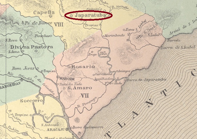
The Distrito de Japaratuba was founded in January 1811, belonged to the Vila de Sto. Amaro das Brotas and was located on the east bank of the Japaratuba River, 55 kilometres north of the later provincial capital Aracaju. In June 1854, it became the Freguesia de N. Sra. da Saúde de Japaratuba, which in turn belonged to the Vila de Capella and five years later was itself named a Vila. The place name is of indigenous origin and can stand for many beaches with white sand, among others.
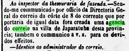
As reported in the regional press, there had been a post office since March 1864:

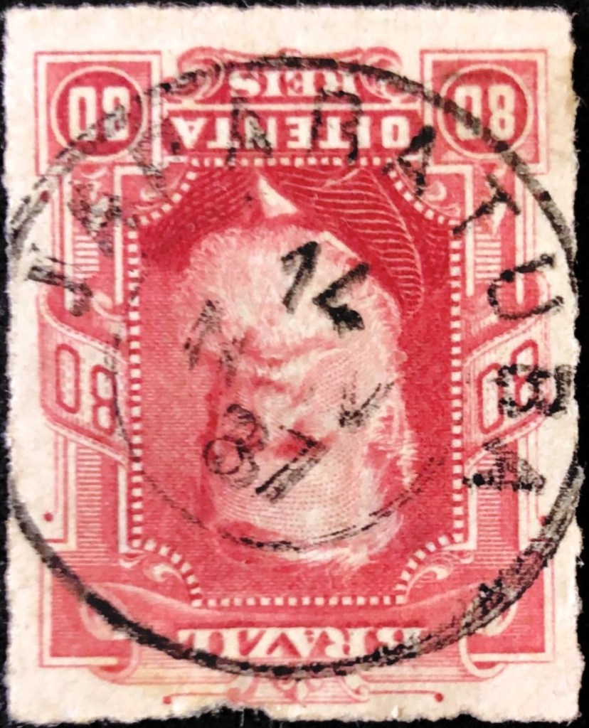
The only imperial postmark to date is JSE-0100b (Fig. Felipe Piccinini):
R. Koester also shows a handwritten cancellation from Japaratuba in Carimbologia XXV:

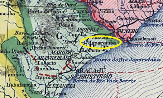
Der Distrito de Japaratuba wurde im Januar 1811 gegründet, gehörte zur Vila de Sto. Amaro das Brotas und lag am Ostufer des gleichnamigen Flusses, 55 km nördlich der späteren Provinzhauptstadt Aracaju. Im Juni 1854 wurde daraus die Freguesia de N. Sra. da Saúde de Japaratuba, die wiederum zur Vila de Capella gehörte und fünf Jahre später selbst zur Vila ernannt wurde. Der Ortsname ist indigenen Ursprungs und kann u.a. für viele Strände mit weißem Sand stehen.
Wie die regionale Presse berichtete, gab es seit März 1864 ein Postamt:
Der bisher einzige kaiserliche Poststempel ist JSE-0100b (Abb. Felipe Piccinini):

R. Koester zeigt in Carimbologia XXV auch eine handschriftliche Entwertung aus Japaratuba:

