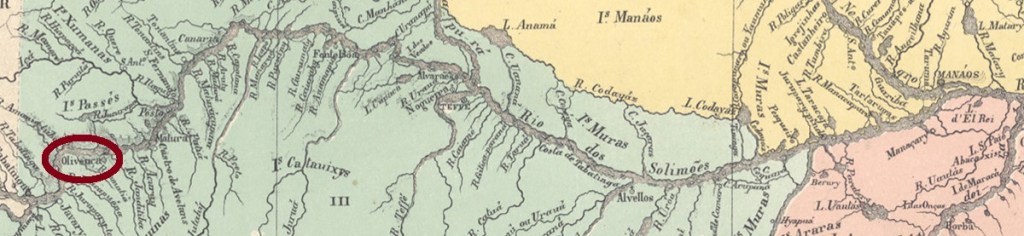
From May 1873, the town was the seat of the Freguesia de N. Sra. da Nazareth do Ituxi, belonged to the Município de Manaus and was located on the south bank of the Purus near the Ituxi estuary, 850 kilometres southwest of Manaus. Lábrea became a vila in May 1881 and a town in October 1894.
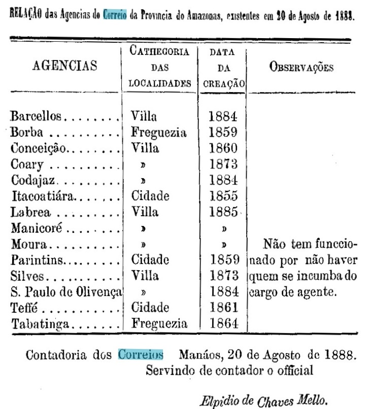
R. Koester writes in Carimbologia XXVI that there had been a post office there since 1884, but the provincial president’s report of 1889 mentions its creation a year later.
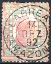
The only postmark in the 19th century to date is LAM-0055a (image from the Internet):

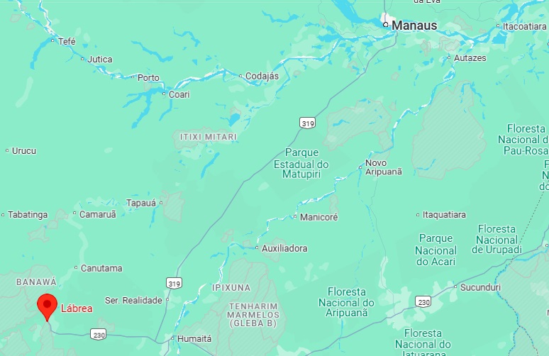
Seit Mai 1873 war der Ort Sitz der Freguesia de N. Sra. da Nazareth do Ituxi, gehörte zum Município de Manaus und lag am Südufer des Purus nahe der Ituxi-Mündung, 850 km südwestlich von Manaus. Lábrea wurde im Mai 1881 eine Vila und im Oktober 1894 eine Stadt.
R. Koester schreibt in Carimbologia XXVI, dass es dort seit 1884 ein Postamt gab, aber der Bericht des Provinzpräsidenten von 1889 erwähnt die Gründung erst ein Jahr später.

Der bisher einzige Poststempel im 19. Jahrhundert ist LAM-0055a (Abb. aus dem Internet):