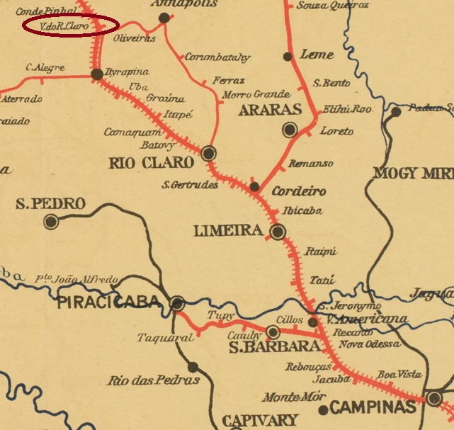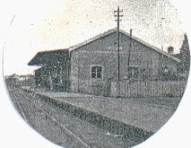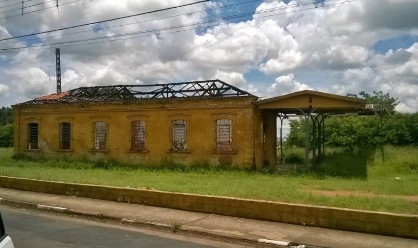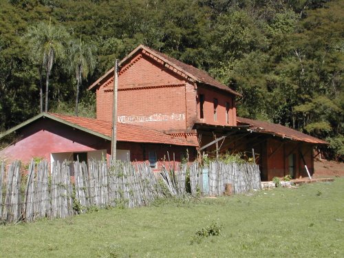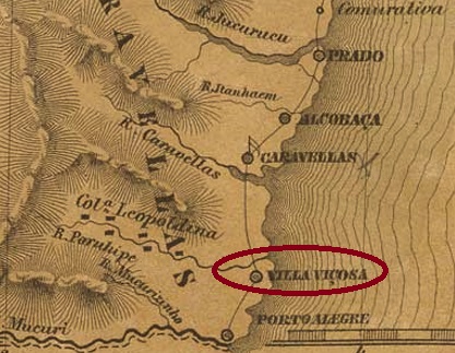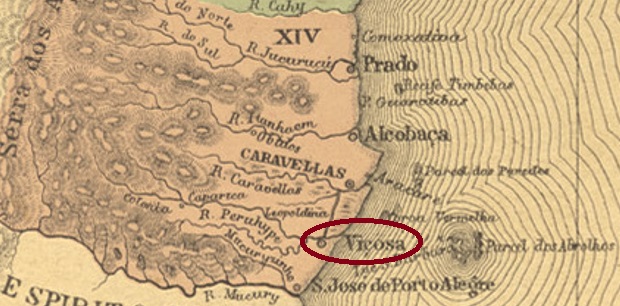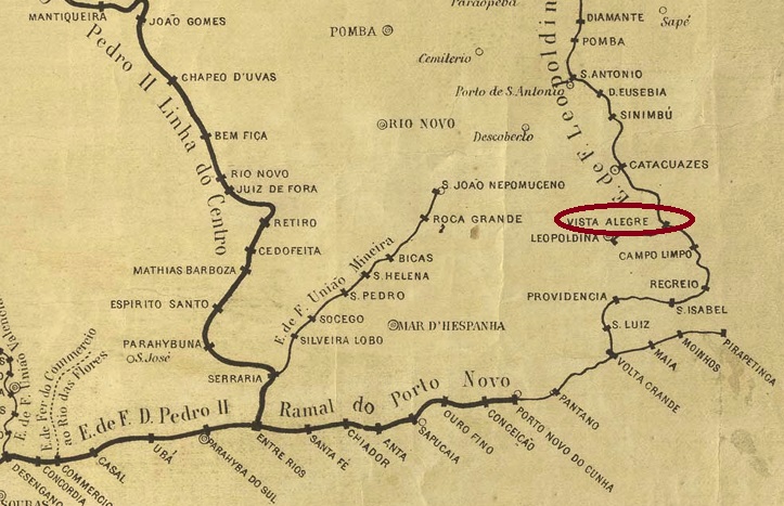
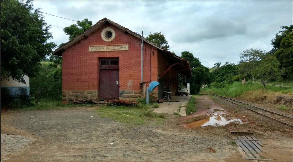
Vista Alegre station was inaugurated by the E.F. Leopoldina (Main Line) and was located on the west bank of the Rio Pomba in the município of Leopoldina, over 260 km southeast of the provincial capital Ouro Preto. From 1975 until its closure in 1996, the railway line belonged to Rede Ferroviária Federal S.A. (estacoesferroviarias.com.br). The former station was last used as a residential building:

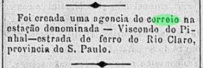
As can be read in the Directory of Imperial Post Offices (Tabella das Agencias do Correio do Imperio, Rio de Janeiro, 1885), there was a post office there from 1876. Two imperial postmarks were found. VMG-3540a also exists in blue, was used from the beginning until at least 1884 and was made known by Paulo Ayres (Catálogo de Carimbos Brasil-Império, S. Paulo, 1937, 1942) under No. 1537:
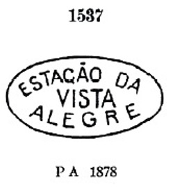
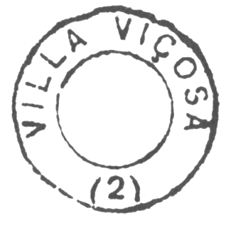
It was followed by VMG-3540b (Coll. José A. Junges): a double circle with the inscriptions VISTA ALEGRE above and (EST.) below. It also exists in purple, and the dates inside go from 1887 to 1904.
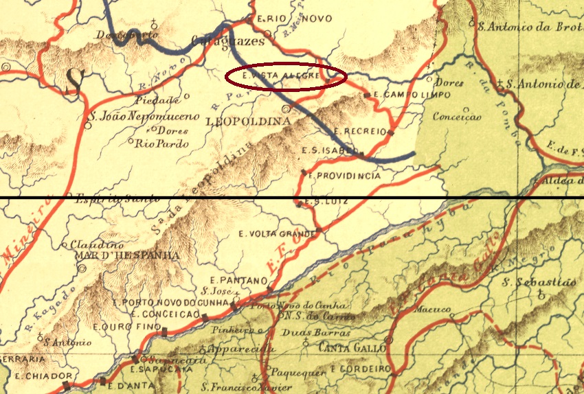
Der Bahnhof Vista Alegre wurde durch die E.F. Leopoldina (Hauptlinie) eingeweiht und lag am Westufer des Rio Pomba im Município von Leopoldina, gut 260 km südöstlich der Provinzhauptstadt Ouro Preto entfernt. Von 1975 bis zu ihrer Stilllegung 1996 gehörte die Bahnlinie der Rede Ferroviária Federal S.A. (estacoesferroviarias.com.br). Das ehemalige Bahnhofsgebäude diente zuletzt als Wohnhaus:
Wie im Verzeichnis der kaiserlichen Postämter (Tabella das Agencias do Correio do Imperio, Rio de Janeiro, 1885) zu lesen ist, gab es dort ein Postamt ab 1876. Zwei kaiserliche Poststempel wurden gefunden. VMG-3540a gibt es auch in Blau, wurde vom Anfang an bis mindestens 1884 verwendet und ist uns durch Paulo Ayres (Catálogo de Carimbos Brasil-Império, S. Paulo, 1937, 1942) unter Nr. 1537 bekannt:

Ihm folgte VMG-3540b (Samml. José A. Junges): ein Doppelkreis mit den Inschriften VISTA ALEGRE oben und (EST.) unten. Es gibt ihn auch in lila und die Daten im Inneren gehen von 1887 bis 1904.