Other names: Conceição do Areado, Areado, Chumbo (1923)
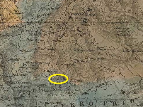
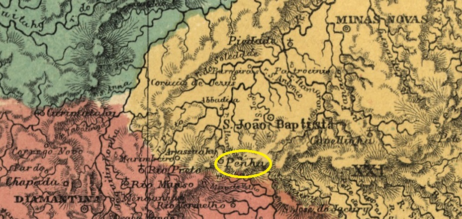
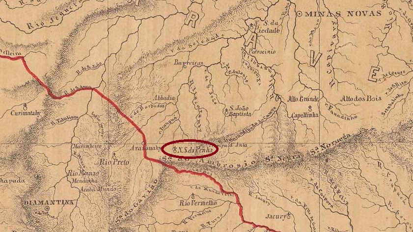
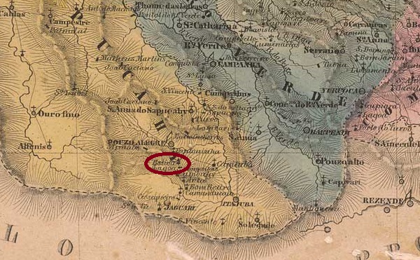
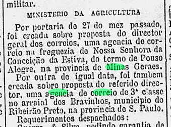
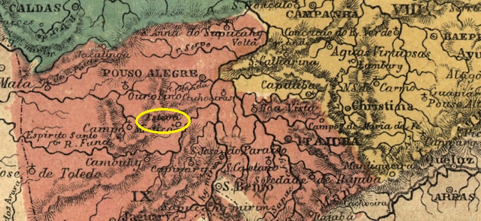
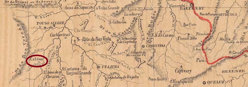
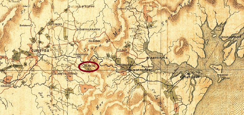
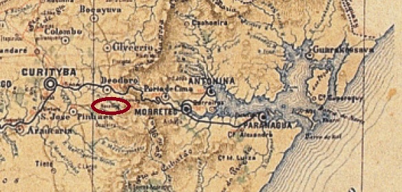
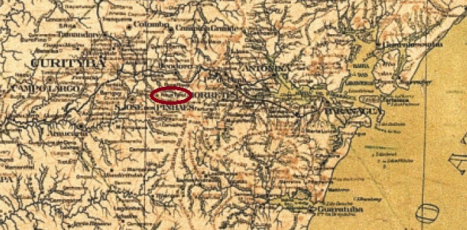
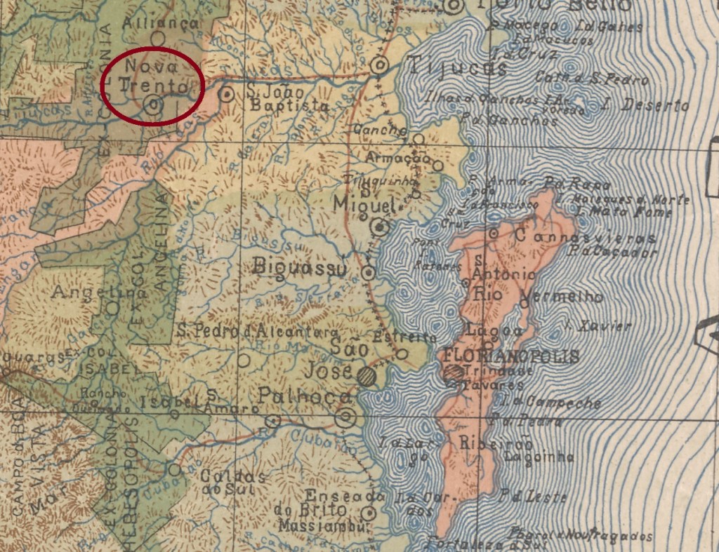
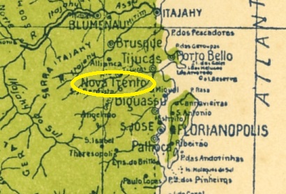
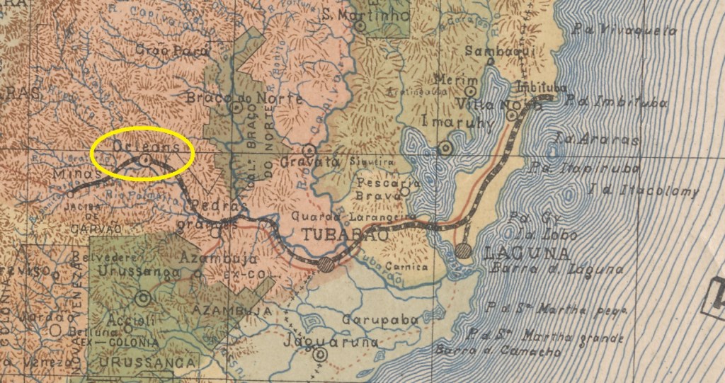
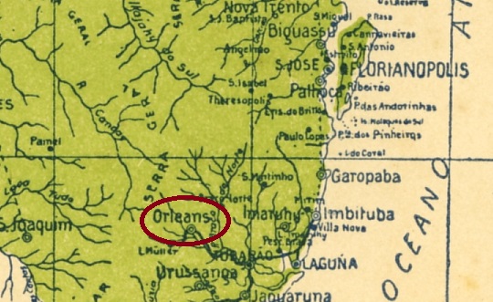
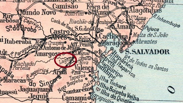
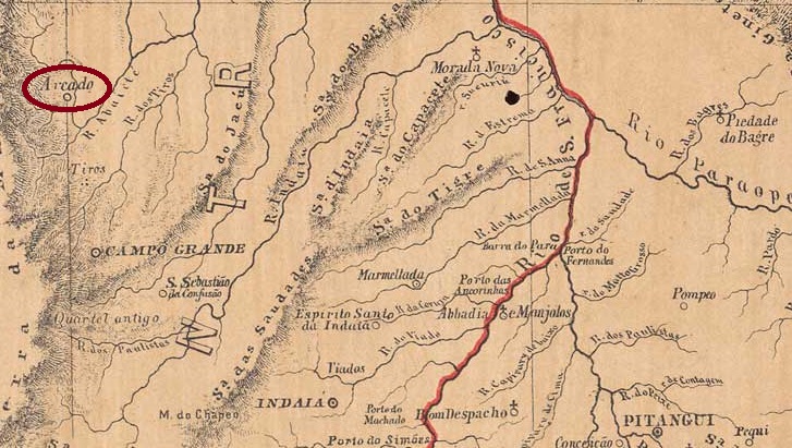
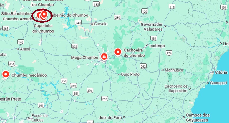
The district of Nossa Senhora da Conceição do Areado existed since June 1854 and belonged to the Vila de Morada Nova at that time. It was located on the west bank of the Ribeirão Areado. In July 1876, it was placed under the administration of Vila de Patos under the new name Freguesia de Nossa Senhora das Dores do Areado. Another name change took place in September 1923, when Areado (meaning “with a lot of sand”) was renamed Chumbo (meaning “lead”) – after a neighbouring town to the north.
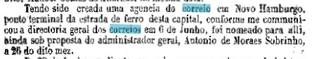
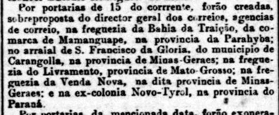
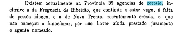
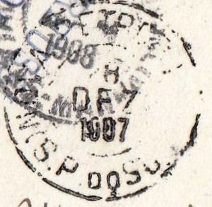
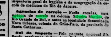
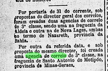
Both Paula Sobrinho (História Postal de Minas Gerais, Belo Horizonte, 1997) and R. Koester (Carimbologia XXVIII) agree that there had been a post office there since April 1881. This is confirmed by the postal report (Relatorio Postal) for 1886. According to Paula Sobrinho, the agency was closed in August 1905 and reopened in January 1909.
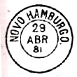
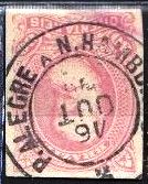
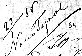
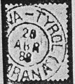
No imperial postmark from Dores do Areado has been sighted to date.

Outros nomes: Conceição do Areado, Areado, Chumbo (1923)
O distrito de Nossa Senhora da Conceição do Areado existia desde junho de 1854 e pertencia, na época, à Vila de Morada Nova. Situava-se na margem oeste do Ribeirão Areado. Em julho de 1876, passou a ser administrado pela Vila de Patos, com o novo nome de Freguesia de Nossa Senhora das Dores do Areado. Em setembro de 1923, houve outra mudança de nome, quando Areado foi renomeado para Chumbo – adotando o topônimo de uma localidade vizinha ao norte.
Tanto Paula Sobrinho (História Postal de Minas Gerais, Belo Horizonte, 1997) quanto R. Koester (Carimbologia XXVIII) concordam que havia uma agência dos correios no local desde abril de 1881. Isso é confirmado pelo Relatório Postal do ano de 1886. Segundo Paula Sobrinho, a agência foi fechada em agosto de 1905 e reaberta em janeiro de 1909.
Até o momento, nenhum carimbo postal imperial de Dores do Areado foi encontrado.
Andere Namen: Conceição do Areado, Areado, Chumbo (1923)
Der Distrikt Nossa Senhora da Conceição do Areado bestand seit Juni 1854 und gehörte damals zur Vila de Morada Nova. Er lag am Westufer des Ribeirão Areado. Im Juli 1876 wurde er unter dem neuen Ortsnamen Freguesia de Nossa Senhora das Dores do Areado der Verwaltung der Vila de Patos unterstellt. Ein weiterer Ortsnamenswechsel erfolgte im September 1923, als Areado (mit viel Sand) zu Chumbo (Blei) umbenannt wurde – nach einem Nachbarort im Norden.
Sowohl Paula Sobrinho (História Postal de Minas Gerais, Belo Horizonte, 1997) als auch R. Koester (Carimbologia XXVIII) sind sich einig, dass es dort seit April 1881 ein Postamt gab. Dies wird durch den Postbericht (Relatorio Postal) für das Jahr 1886 bestätigt. Laut Paula Sobrinho wurde die Agentur im August 1905 geschlossen und im Januar 1909 wieder ins Leben gerufen.
Bisher wurde kein kaiserlicher Poststempel aus Dores do Areado gesichtet.