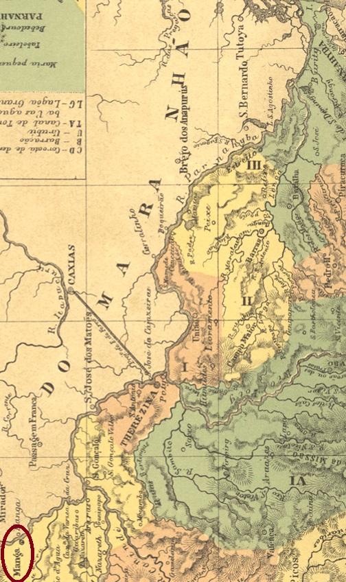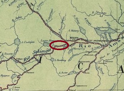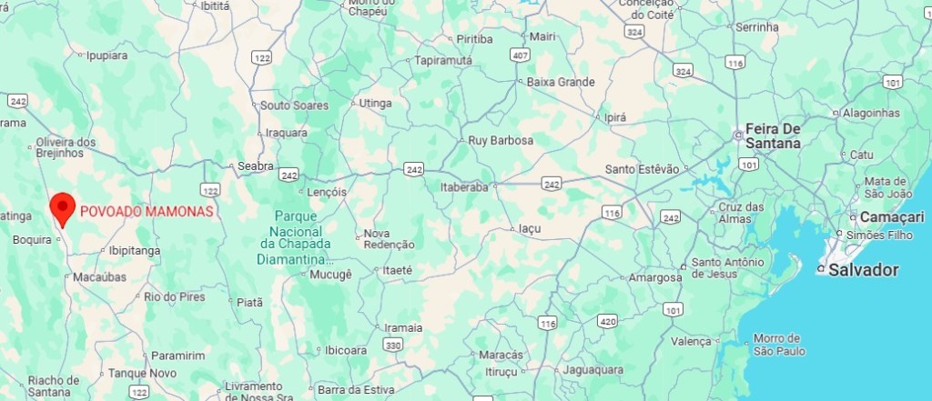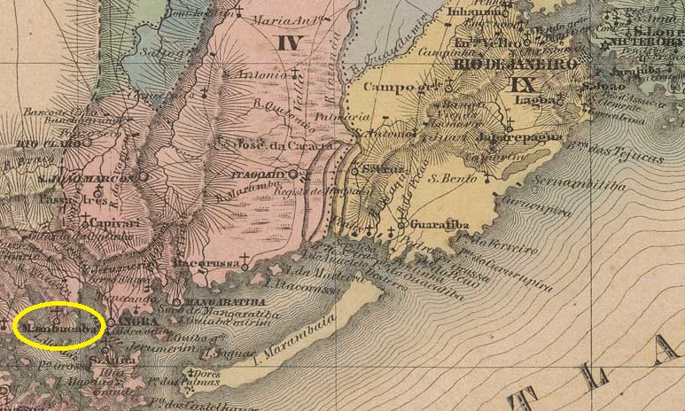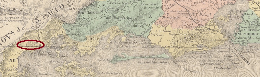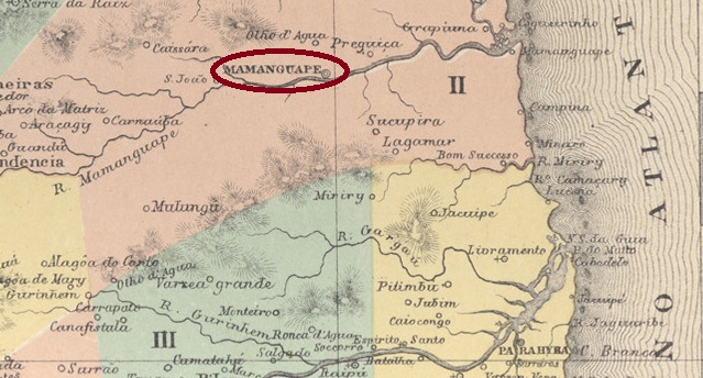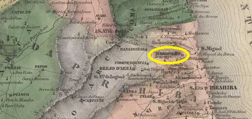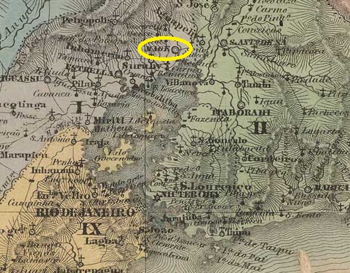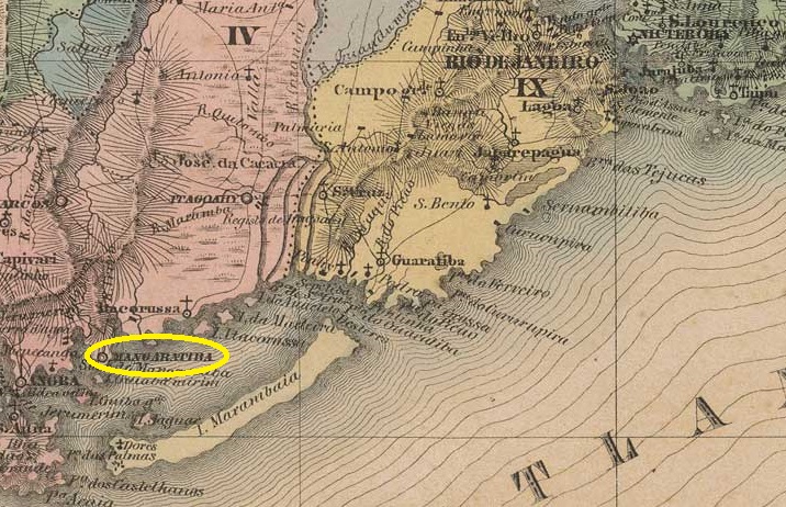
The Freguesia de Nossa Senhora da Guia de Mangaratiba existed since January 1764 and belonged to the Vila de Angra dos Reis. It was located at the mouth of the Rio do Saco where it flows into the Atlantic Ocean, 100 kilometres west of the colonial capital Rio de Janeiro. In November 1831, Mangaratiba was elevated to the status of a vila. In May 1892, it was downgraded to the district of Angra dos Reis, but regained its municipality status seven months later and has been a city since December 1929.
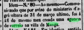
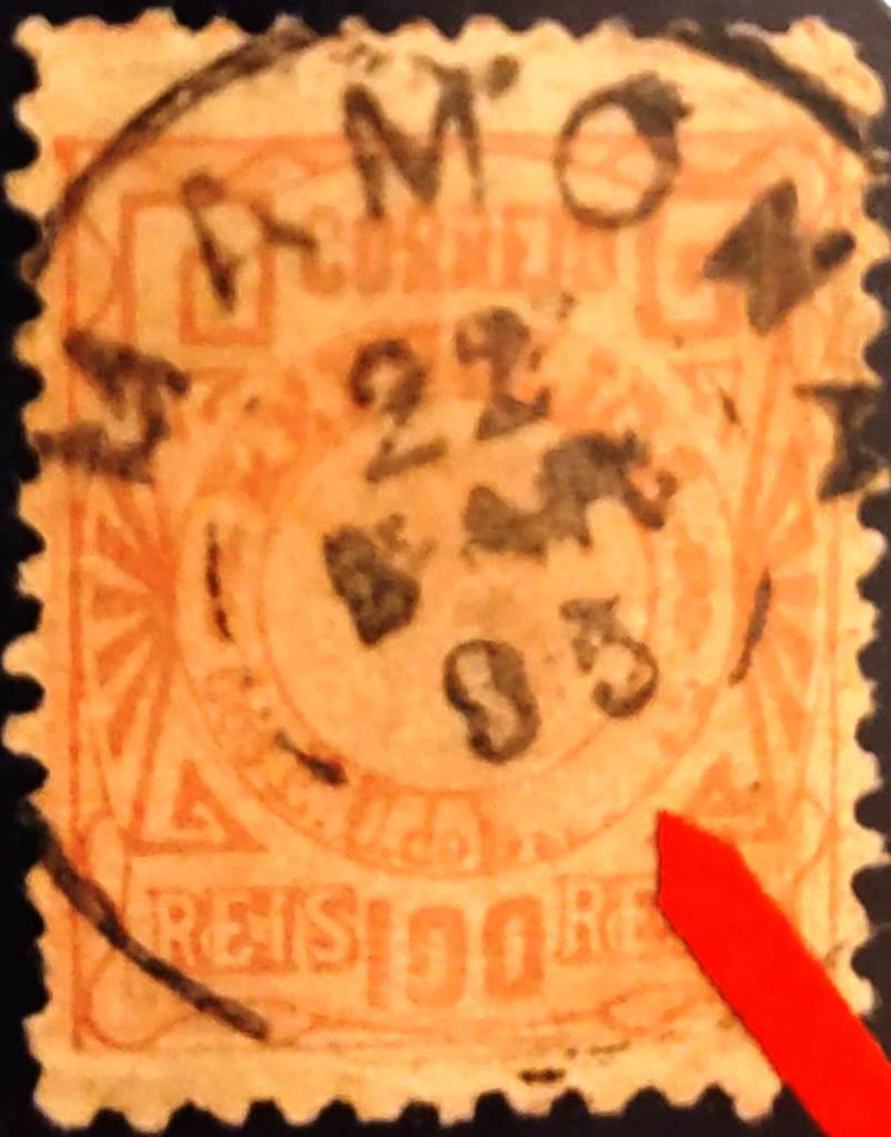
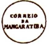
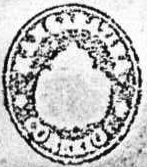
Nova Monteiro writes in Administrações e Agencias Postaes do Brasil Imperio (Brasil Filatelico/RJ, 1934-5; reprinted by SPP 1994-1999) that there has been a post office there since March 1823. The oldest postmark to date is MRJ-0710a, which was given the number P-RJ-17 in the RHM catalogue:

This was followed by MRJ-0710b, also found in the RHM catalogue, this time under P-RJ-16:
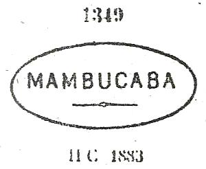
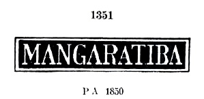
This was followed by MRJ-0710c, which also appears in blue and was given the number 1351 by P. Ayres in Catálogo de Carimbos Brasil-Império (S. Paulo, 1937, 1942):

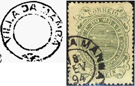
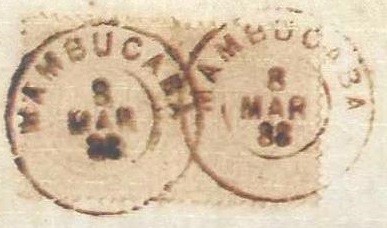
In the 1880s, the double circle MRJ-0710d (Everaldo N. dos Santos Collection) also appeared, which is also available in blue:

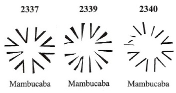
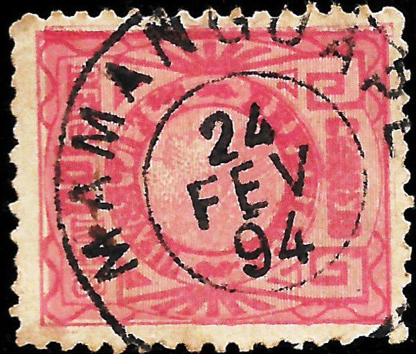
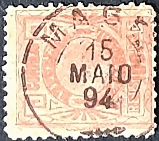
From the end of the Empire, MRJ-0710e (illustration by Felipe Piccinini) was also used:

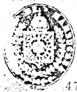
In Carimbologia XXVII, R. Koester shows the postmark with the imperial seal MRJ-0170f:
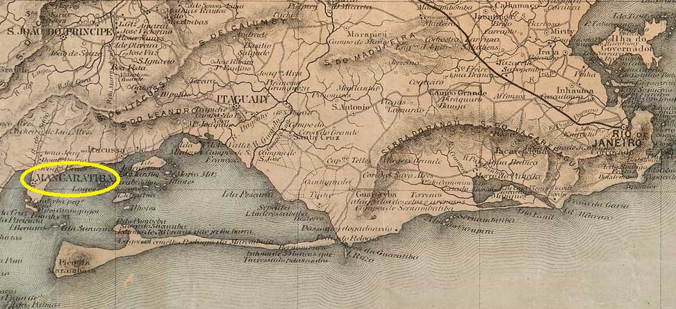
Die Freguesia de Nossa Senhora da Guia de Mangaratiba bestand seit Januar 1764 und gehörte zur Vila de Angra dos Reis. Sie lag an der Mündung des Rio do Saco in den Atlantik, 100 Kilometer westlich der Kolonialhauptstadt Rio de Janeiro. Im November 1831 wurde Mangaratiba zur Vila erhoben. Im Mai 1892 wurde sie zum Distrito von Angra dos Reis herabgestuft, erhielt jedoch sieben Monate später den Município-Status zurück und ist seit Dezember 1929 eine Stadt.
Nova Monteiro schreibt in Administrações e Agencias Postaes do Brasil Imperio (Brasil Filatelico/RJ, 1934-5; reprinted by SPP 1994-1999), dass es dort seit März 1823 ein Postamt gab. Der bisher älteste Poststempel ist MRJ-0710a, der im RHM-Katalog die Nr. P-RJ-17 erhielt:
Es folgte MRJ-0710b, ebenfalls im RHM-Katalog zu finden, diesmal unter P-RJ-16:

Danach kam MRJ-0710c, der auch in Blau vorkommt und von P. Ayres in Catálogo de Carimbos Brasil-Império (S. Paulo, 1937, 1942) die Nr. 1351 bekam:
In den 1880er Jahren erschien auch der Doppelkreis MRJ-0710d (Samml. Everaldo N. dos Santos), den es auch in Blau gibt:

Ab Ende des Kaiserreichs wurde auch MRJ-0710e (Abb. Felipe Piccinini) verwendet:

R. Koester zeigt in Carimbologia XXVII den Poststempel mit dem kaiserlichen Siegel MRJ-0170f: