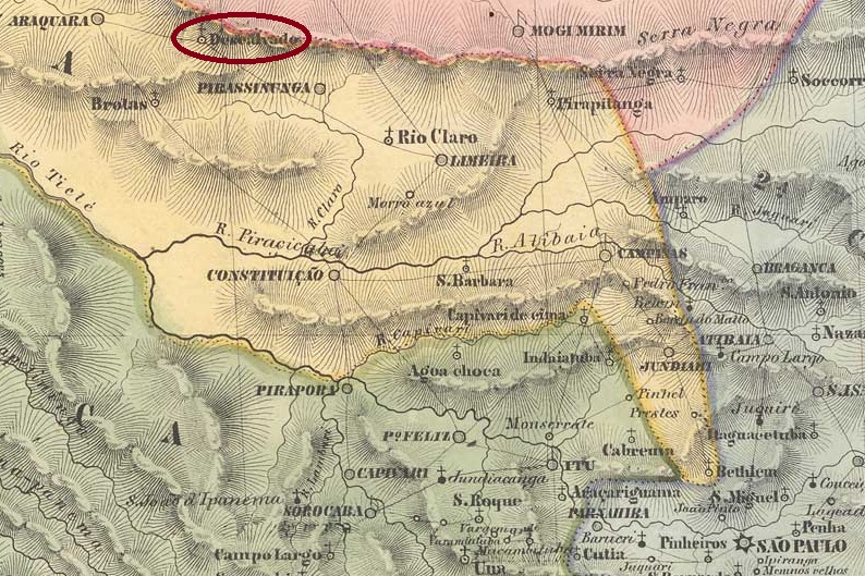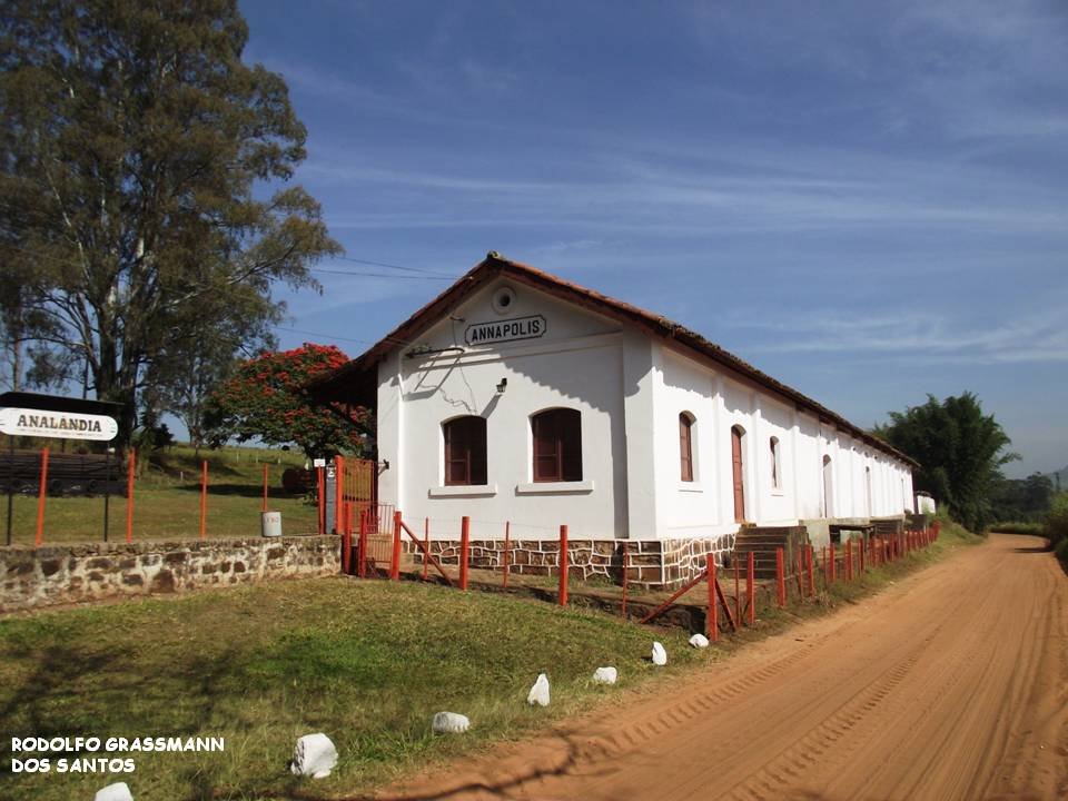
Other names: Juparanã, Barão de Juparanã (ca. 1952)
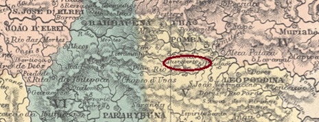
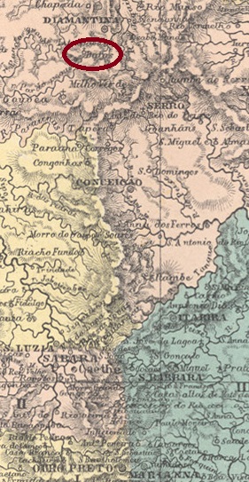
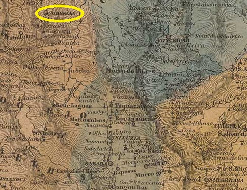
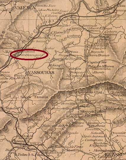
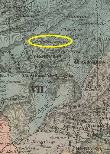
Desengano (also written Dezengano) was a settlement on the west bank of the river Paraíba do Sul, near the bridge Desengano Feliz (Happy Disappointment) around Vila de Valença, 150 kilometres northwest of the capital Rio de Janeiro. In May 1892, it was elevated to the status of a district, which was renamed Juparanã in December 1949 and shortly afterwards received the name Barão de Juparanã. The name commemorates Manuel Jacinto Carneiro Nogueira da Costa e Gama (Rio de Janeiro, 4 April 1830, Valença, 2 June 1876), landowner and regional politician.
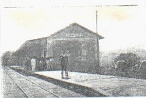
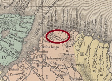
As Nova Monteiro writes in Administrações e Agencias Postaes do Brasil Imperio (Brasil Filatelico/RJ, 1934-5; reprint SPP 1994-1999), there had been a post office there since August 1857, and when a luxurious railway station of the E.F.D. Pedro II (Central Line) was built in December 1865, the postal agency moved into the station building, as the station keeper was also the postal clerk.

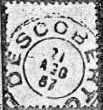
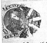
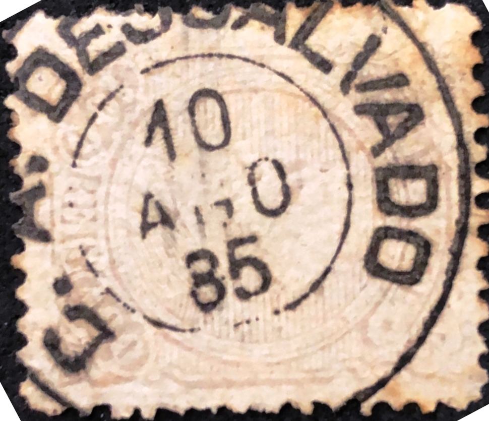
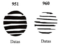
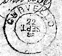
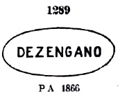
The oldest postmark to date is DRJ-0420a, which also existed in red and was already assigned the no. 1289 by P. Ayres in the Catálogo de Carimbos Brasil-Império (S. Paulo, 1937, 1942):

It was followed by DRJ-0420b (illustration from the Internet), which also occurs in dark violet:

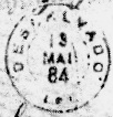
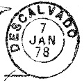
DRJ-0420c (illustration from the Internet) was also used in the late imperial period:

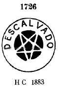
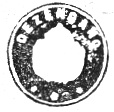
R. Koester still shows the seal cancel DRJ-0420d in Carimbologia XVI, without further details:

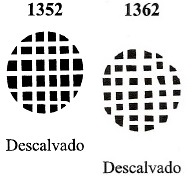
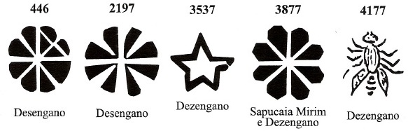
James Dingler and Klerman W. Lopes have shown in Mute Cancellations of the Brazil Empire / Carimbos Mudos do Brasil Império (Brazil Philatelic Association, Rio de Janeiro, 2000) no less than five mute cancellations from Desengano:

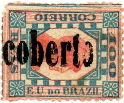
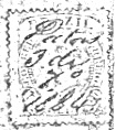
And from the Fuad Ferreira Fo. collection comes this handwritten cancellation:

Andere Namen: Juparanã, Barão de Juparanã (ca. 1952)
Desengano (auch Dezengano geschrieben) war eine Siedlung am Westufer des Flusses Paraíba do Sul, in der Nähe der Brücke Desengano Feliz (Glückliche Enttäuschung) im Gebiet von Vila de Valença, 150 km nordwestlich der Hauptstadt Rio de Janeiro. Im Mai 1892 wurde es zum Distrikt erhoben, der im Dezember 1949 in Juparanã umbenannt wurde und kurze Zeit später den Namen Barão de Juparanã erhielt.
Der Name erinnert an Manuel Jacinto Carneiro Nogueira da Costa e Gama (Rio de Janeiro, 4.4.1830, Valença, 2.6.1876), Großgrundbesitzer und Regionalpolitiker.
Wie Nova Monteiro in Administrações e Agencias Postaes do Brasil Imperio (Brasil Filatelico/RJ, 1934-5; Reprint SPP 1994-1999) schreibt, gab es dort seit August 1857 ein Postamt, und als im Dezember 1865 ein luxuriöser Bahnhof der E.F.D. Pedro II (Hauptlinie) gebaut wurde, zog die Postagentur in das Bahnhofsgebäude um, da der Bahnhofswärter auch der Postbeamte war.

Der bisher älteste Poststempel ist DRJ-0420a, den es auch in rot gab und der bereits von P. Ayres im Catálogo de Carimbos Brasil-Império (S. Paulo, 1937, 1942) mit der Nr. 1289 versehen wurde:
Ihm folgte DRJ-0420b (Abb. aus dem Internet), der auch in dunkelviolett vorkommt:

In der späten Kaiserzeit wurde auch DRJ-0420c (Abb. aus dem Internet) verwendet:

R. Koester zeigt in Carimbologia XVI noch den Siegelstempel DRJ-0420d, ohne weitere Angaben:
James Dingler und Klerman W. Lopes haben in Mute Cancellations of the Brazil Empire / Carimbos Mudos do Brasil Império (Brazil Philatelic Association, Rio de Janeiro, 2000) nicht weniger als fünf stumme Stempel aus Desengano gezeigt:
Und aus der Sammlung Fuad Ferreira Fo. stammt diese handschriftliche Entwertung: