Other names: N. Sra. da Conceição de Albuquerque, Santa Cruz de Corumbá
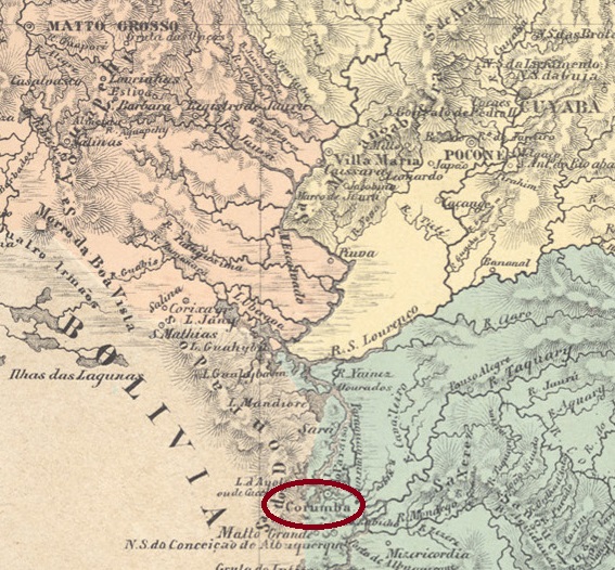
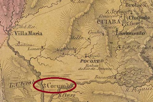
The history of this place begins in April 1838 with the founding of the Distrito de N. Sra. da Conceição de Albuquerque, 1000 kilometres south of the provincial capital Cuiabá. In July 1850 it was elevated to the status of a Vila, which was occupied by the Paraguayans between 1865 and 1870 during the Triple Alliance War. After that, the Vila de Albuquerque was re-established in October 1871, which became the city of Sta. Cruz de Corumbá in November 1878. Corumbá has been in the state of Mato Grosso do Sul since 1979.
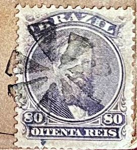
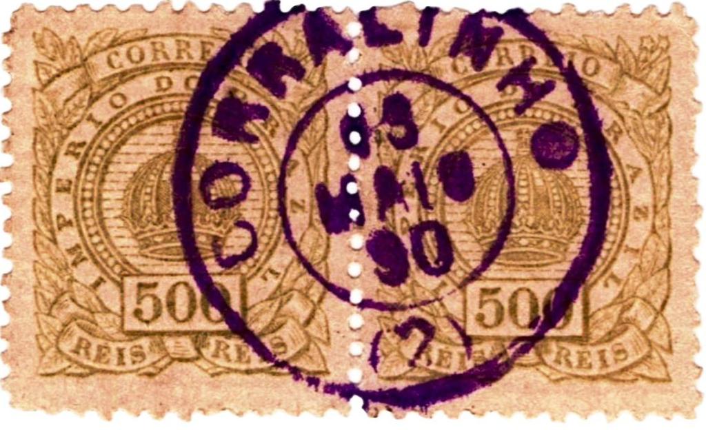
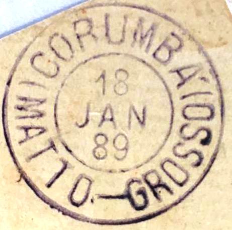
As can be seen from the list of imperial post offices (Tabella das Agencias do Correio do Imperio, Rio de Janeiro, 1885), there had been a post office there since 1861. All postmarks with the place name Corumbá can be dated from 1870, i.e. after the war. The first to appear was CMT-0010a (fig. Claudio Coelho and R. Baldassare):

There came afterwards CMT-0010b (ill. from the internet):

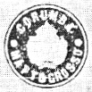
R. Koester also shows the seal cancel CMT-0010c in Carimbologia XIV:

And the philatelist Claudio Coelho has also shown us a mute cancel from there:

Andere Namen: N. Sra. da Conceição de Albuquerque, Santa Cruz de Corumbá
Die Geschichte dieses Ortes beginnt im April 1838 mit der Gründung des Distrito de N. Sra. da Conceição de Albuquerque, 1000 km südlich der Provinzhauptstadt Cuiabá. Im Juli 1850 erfolgte die Erhebung zur Vila, die zwischen 1865 und 1870 während des Tripel-Allianz-Krieges von den Paraguayern besetzt wurde. Nach dem Krieg wurde im Oktober 1871 die Vila de Albuquerque neu gegründet, die im November 1878 zur Stadt Sta. Cruz de Corumbá wurde. Seit 1979 liegt Corumbá im Bundesstaat Mato Grosso do Sul.
Wie aus dem Verzeichnis der kaiserlichen Postämter (Tabella das Agencias do Correio do Imperio, Rio de Janeiro, 1885) hervorgeht, gab es dort seit 1861 ein Postamt. Alle Poststempel mit dem Ortsnamen Corumbá können ab 1870, also nach dem Krieg, datiert werden. Als erster erschien CMT-0010a (Abb. Claudio Coelho und R. Baldassare):
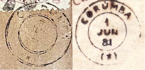
Es kam danach CMT-0010b (Abb. aus dem Internet):
R. Koester zeigt in Carimbologia XIV auch den Siegelstempel CMT-0010c:
Und der Philatelist Claudio Coelho hat uns auch einen stummen Stempel von dort gezeigt: