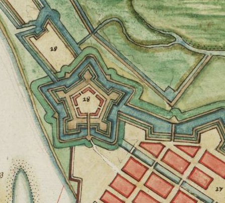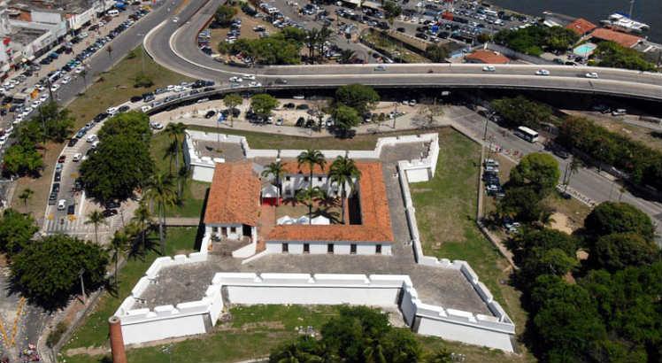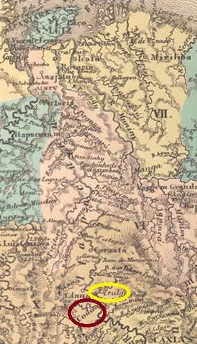
Other names: Urubu
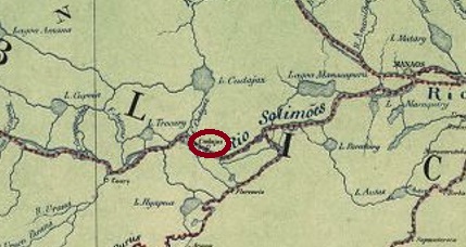
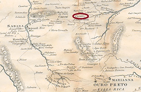
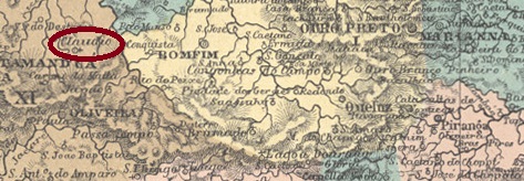
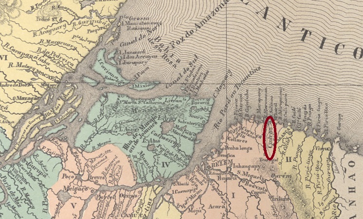
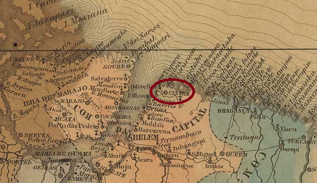
The history of the village began in April 1833, when it was founded as Vila de Urubu (Vulture) on the east bank of the Itapecuru, almost 300
kilometres south of the provincial capital S. Luís do Maranhão. In July 1838, the entire village was moved further south to the mouth of the Codó on the west bank of the Itapecuru and was henceforth called Vila de Santa Rita e Santa Philomena do Codó, which was elevated to the status of a town in April 1896.
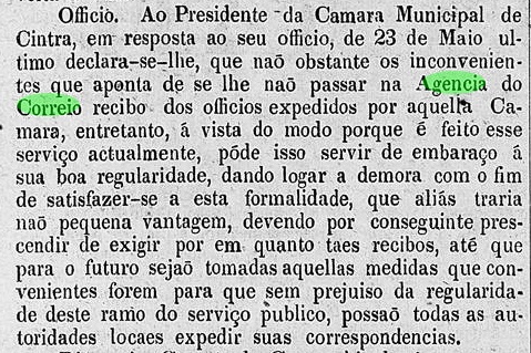
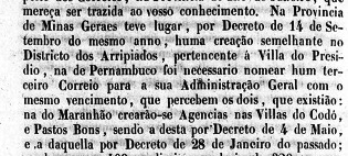
Nova Monteiro writes in Administrações e Agencias Postaes do Brasil Imperio (Brasil Filatelico/RJ, 1934-5; reprint SPP 1994-1999) that there had been a post office there since 28 January 1832. This date is probably a transcription error, as the place was still called Urubu at the time. In
addition, a report from the Imperial Ministry gives a different date, exactly
ten years later:

Relatorio do Ministerio do Imperio, 14/01/1843
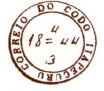
To make matters worse, the postal report (Relatorio dos Correios) of 1886 gives 6 January 1842 for the founding of the agency in Codó, and here too R. Koester seems to have copied incorrectly, as he gives 6 July 1842 in Carimbologia XI.
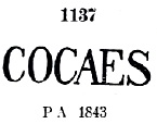
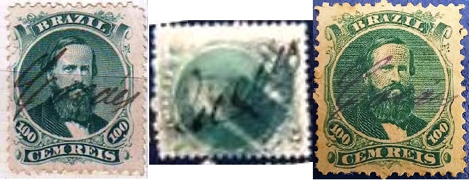
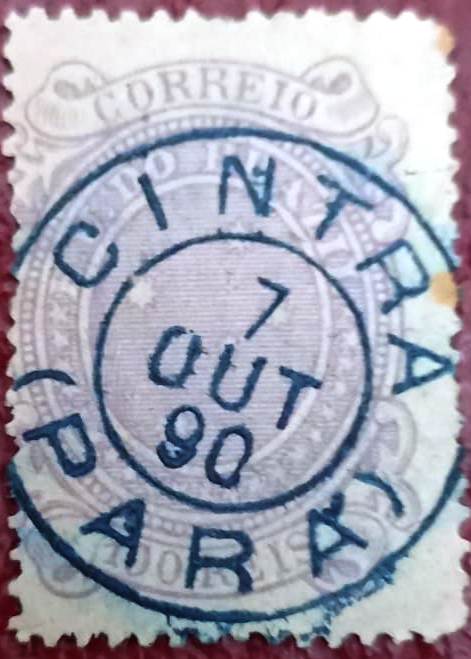
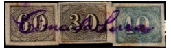
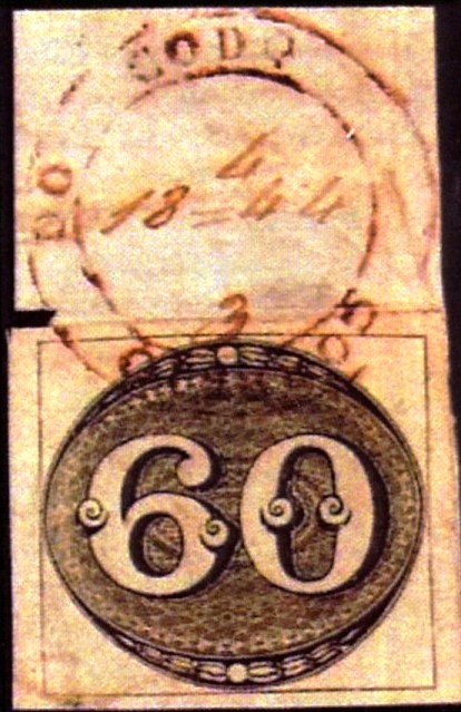
The oldest postmark of Codó could be the extremely rare CMA-0095a
(fig. RHM catalogue):

CMA-0095a (RHM) 1843ff
CMA-0095b also appeared at about the same time, here in an illustration by Henrique B. Ferreira (Catálogo ilustrado dos carimbos sobre os olhos-de-boi, 4a. ed, Porto Alegre, 2017):
CMA-0095b (HBF) 1844
It was followed by CMA-0095c (fig. Roberto Assef Jr.) in a form typical for Maranhão:

CMA-0095c (RA) 1850ff-1878ff
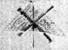
There may have been a shortage of postmarks in Codó around this time, as
stamps were also cancelled by hand:

1850ff-1866ff (fig. Antonio Eleftheriou)
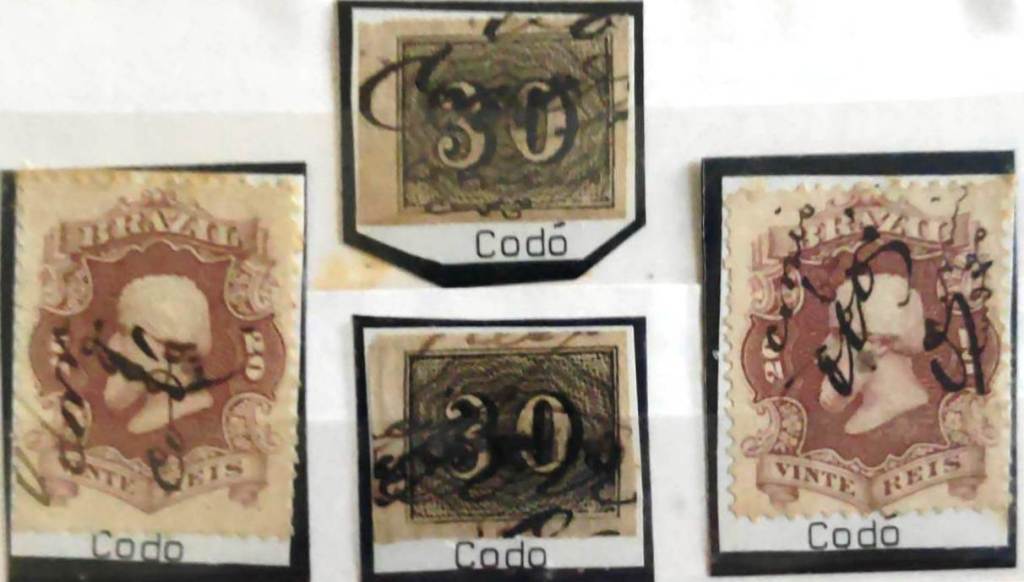
From about 1878 the situation normalised with the arrival of CMA-0095d, illustrated here by P. Ayres (Catálogo de Carimbos Brasil-Império, S. Paulo, 1937, 1942):
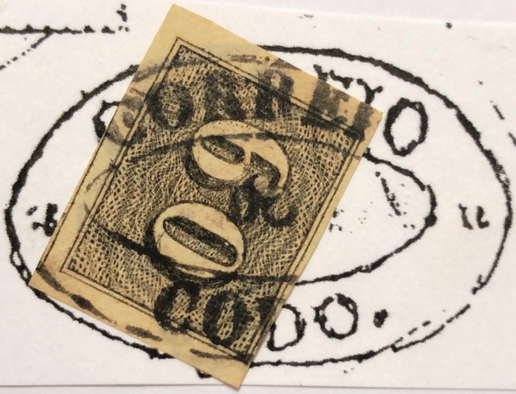
CMA-0095d (P.A. p. 121) 1878-1900
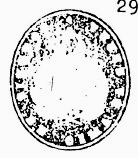
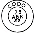
Two mute cancels of the Empire also come from Codó. The first was given the no. 1346 by James Dingler and Klerman W. Lopes (Mute Cancellations of the Brazil Empire / Carimbos Mudos do Brasil Império, Brazil Philatelic Association, Rio de Janeiro, 2000):

BPA 1346
The second was shown to us by R. Koester (op. cit.):
1883 (RK)
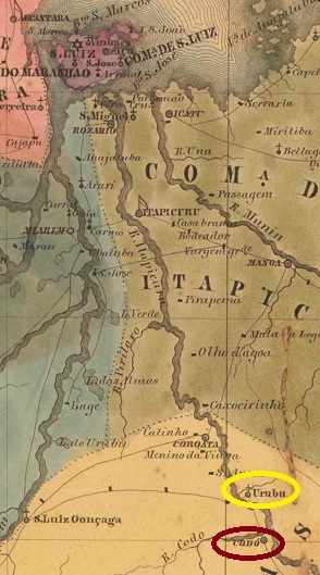
Andere Namen: Urubu
Die Geschichte des Ortes begann im April 1833, als er als Vila de Urubu (Geier) am Ostufer des Itapecuru, knapp 300 km südlich der Provinzhauptstadt S. Luís do Maranhão, gegründet wurde. Im Juli 1838 wurde der gesamte Ort weiter südlich an die Mündung des Codó am
Westufer des Itapecuru verlegt und hieß fortan Vila de Santa Rita e Santa
Philomena do Codó, die im April 1896 zur Stadt erhoben wurde.
Relatorio do Ministerio do Imperio, 14.01.1843
Erschwerend kommt hinzu, dass der Postbericht (Relatorio dos Correios) von 1886 für die Agenturgründung in Codó den 6.1.1842 angibt, und auch hier scheint R. Koester falsch abgeschrieben zu haben, denn er gibt dafür den 6.7.1842 in Carimbologia XI an. Der älteste Poststempel von Codó könnte der extrem seltene CMA-0095a (Abb. RHM-Katalog) sein:
CMA-0095a (RHM) 1843ff
Etwa zur gleichen Zeit erschien auch CMA-0095b, hier in einer Abbildung von Henrique B. Ferreira (Catálogo ilustrado dos carimbos sobre os olhos-de-boi, 4a. ed, Porto Alegre, 2017):

CMA-0095b (HBF) 1844
Ihm folgte CMA-0095c (Abb. Roberto Assef Jr.) in einer für Maranhão typischen Form:
CMA-0095c (RA) 1850ff-1878ff
Um diese Zeit könnte es in Codó einen Mangel an Poststempeln gegeben haben, denn es wurde auch von Hand gestempelt:
1850ff-1866ff (Abb. Antonio Eleftheriou)
Ab etwa 1878 normalisierte sich die Situation mit der Ankunft von CMA-0095d, hier abgebildet bei P. Ayres (Catálogo de Carimbos Brasil-Império, S. Paulo, 1937, 1942):

CMA-0095d (P.A. S. 121) 1878-1900
Aus Codó stammen auch zwei stumme Stempel des Kaiserreichs. Der
erste wurde von James Dingler und Klerman W. Lopes (Mute Cancellations of
the Brazil Empire / Carimbos Mudos do Brasil Império, Brazil Philatelic
Association, Rio de Janeiro, 2000) mit der Nr. 1346 versehen:

BPA 1346
Die zweite wurde uns von R. Koester (op. cit.) gezeigt:

1883 (RK)