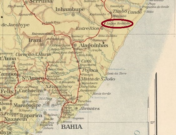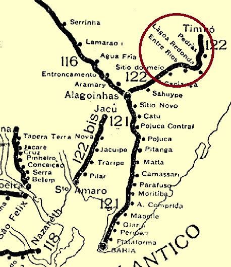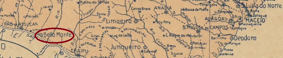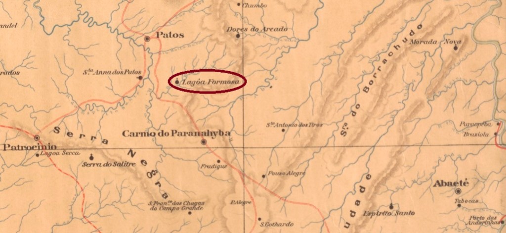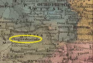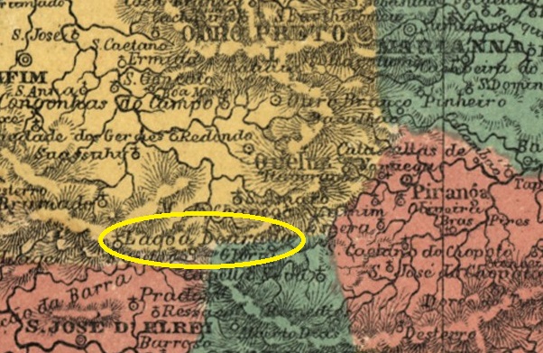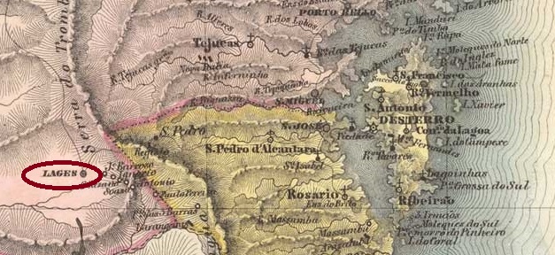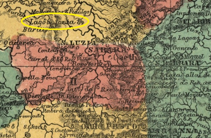
The Freguesia de N. Sra. da Saúde de Lagoa Santa had existed since August 1823, it belonged to the Vila de Sta. Luzia and was located on the west bank of the Rio Das Velhas, 140 kilometres north of the provincial capital Ouro Preto. Lagoa Santa has been an independent município since December 1938.
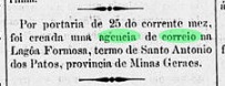
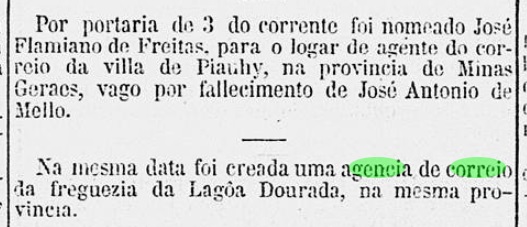
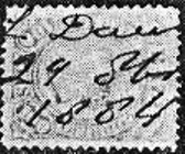
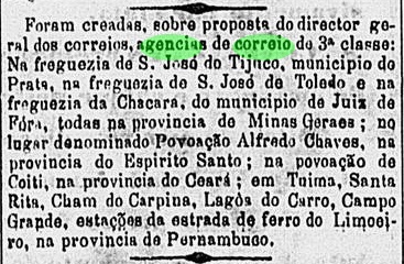
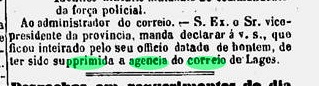
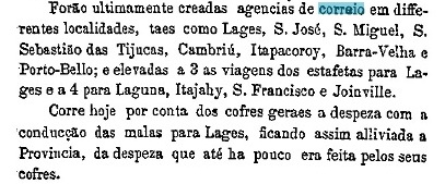
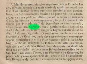
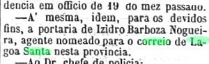
Paula Sobrinho (História Postal de Minas Gerais, Belo Horizonte, 1997) and R. Koester (Carimbologia XXVI) agree that it was decided in July 1874 to set up a local post office. However, according to the regional press, the postman had already been introduced a month earlier:
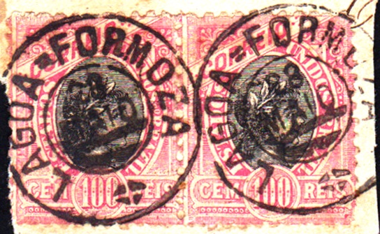
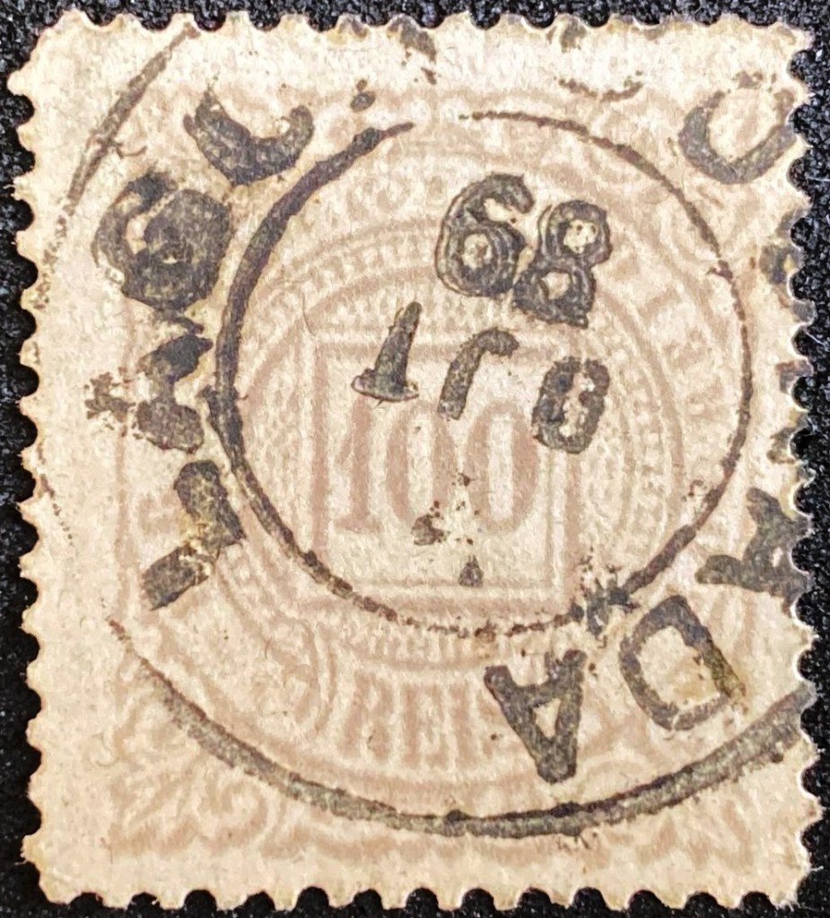
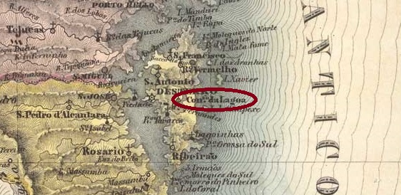
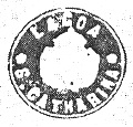
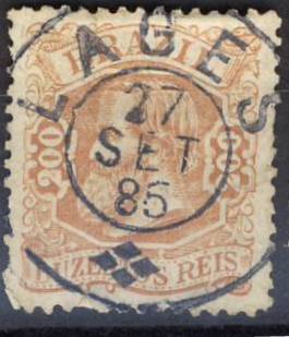
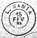
The oldest postmark to date is LMG-1470b (fig. Koester, op.cit.):
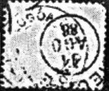
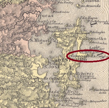
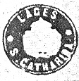
This was followed by LMG-1470c (illustration from the Internet):

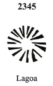
In Mute Cancellations of the Brazil Empire / Carimbos Mudos do Brasil Império (Brazil Philatelic Association, Rio de Janeiro, 2000), James Dingler and Klerman W. Lopes have listed a mute cancellation with the no. 1847:

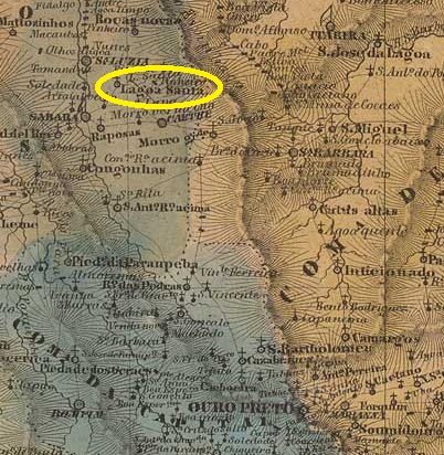
Seit August 1823 bestand die Freguesia de N. Sra. da Saúde de Lagoa Santa, die zur Vila de Sta. Luzia gehörte und am Westufer des Rio Das Velhas, 140 km nördlich der Provinzhauptstadt Ouro Preto, lag. Seit Dezember 1938 ist Lagoa Santa ein eigenständiges Município.
Paula Sobrinho (História Postal de Minas Gerais, Belo Horizonte, 1997) und R. Koester (Carimbologia XXVI) sind sich einig, dass im Juli 1874 beschlossen wurde, ein Postamt vor Ort einzurichten. Nach Angaben der regionalen Presse wurde jedoch bereits einen Monat früher der Postbeamter vorgestellt:

Der bisher älteste Poststempel ist LMG-1470b (Abb. Koester, op.cit.):

Es folgte LMG-1470c (Abb. aus dem Internet):
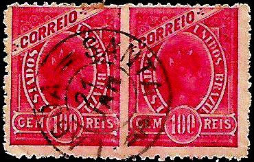
James Dingler und Klerman W. Lopes haben in Mute Cancellations of the Brazil Empire / Carimbos Mudos do Brasil Império (Brazil Philatelic Association, Rio de Janeiro, 2000) einen stummen Stempel mit der Nr. 1847 aufgeführt: