Other names: Palmeiras, Mataúna, Palmeiras de Goiás (1947)
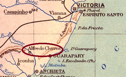
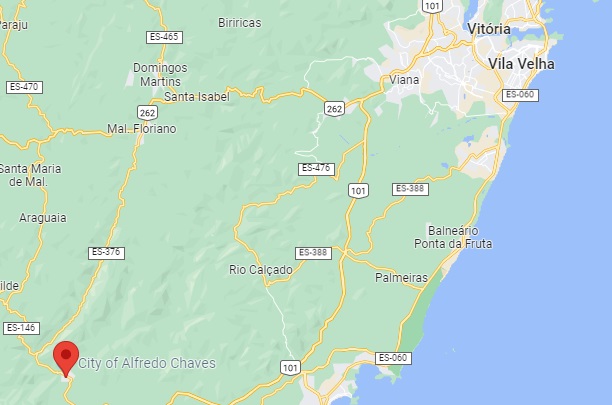
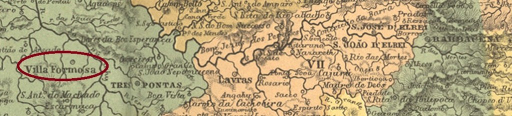
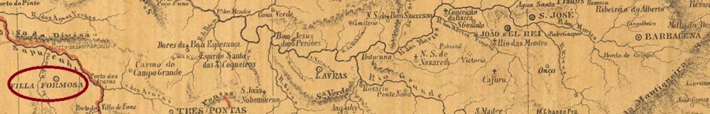
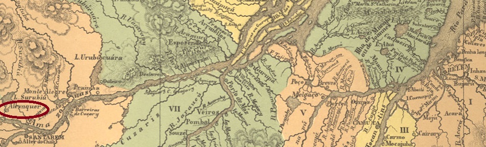
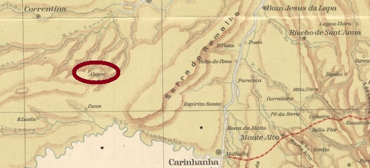
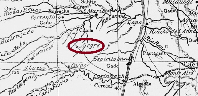
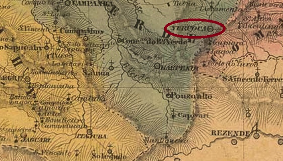
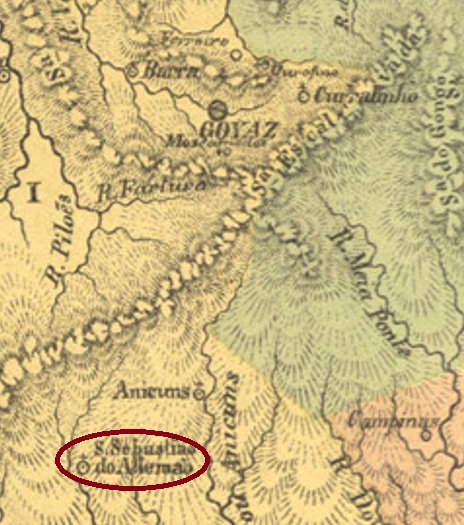
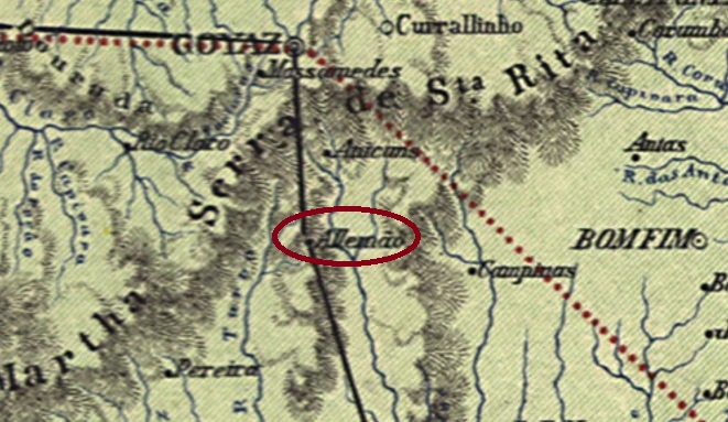
The Freguesia of S. Sebastião do Allemão (St. Sebastian of the German) was established in November 1857 and was located on the south bank of the Capivari River, about 150 km south of the former provincial capital of Goyaz (now Goiás Velho). The Alemão was not actually a German, but probably referred to a gold miner named Jonas Allemão who had settled there in 1794. The place continued to grow, becoming a villa in December 1887 and a town in July 1905. After that, the name changed three times: in June 1917 to Palmeiras, in December 1943 to Mataúnas and in July 1947 to Palmeiras de Goiás, which is still current today.
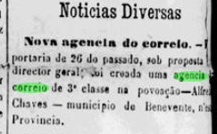
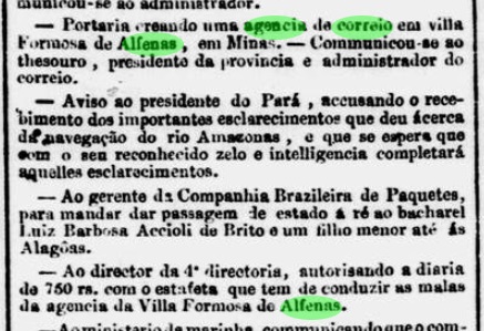
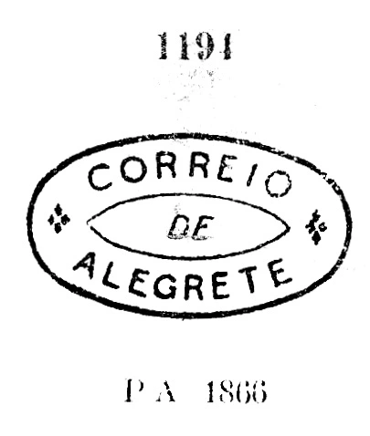
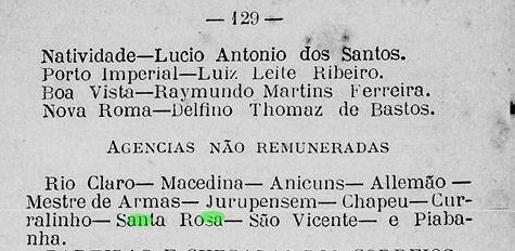
So far, the date of origin of the post office there could not be found. However, as it was not listed in the Directory of Imperial Post Offices (Tabella das Agencias do Correio do Imperio, Rio de Janeiro, 1885), it is likely to be 1885 or 1886, for an honorary postal agency (agencia não remunerada) with that name was mentioned in the Almanak de Goyaz for 1887:

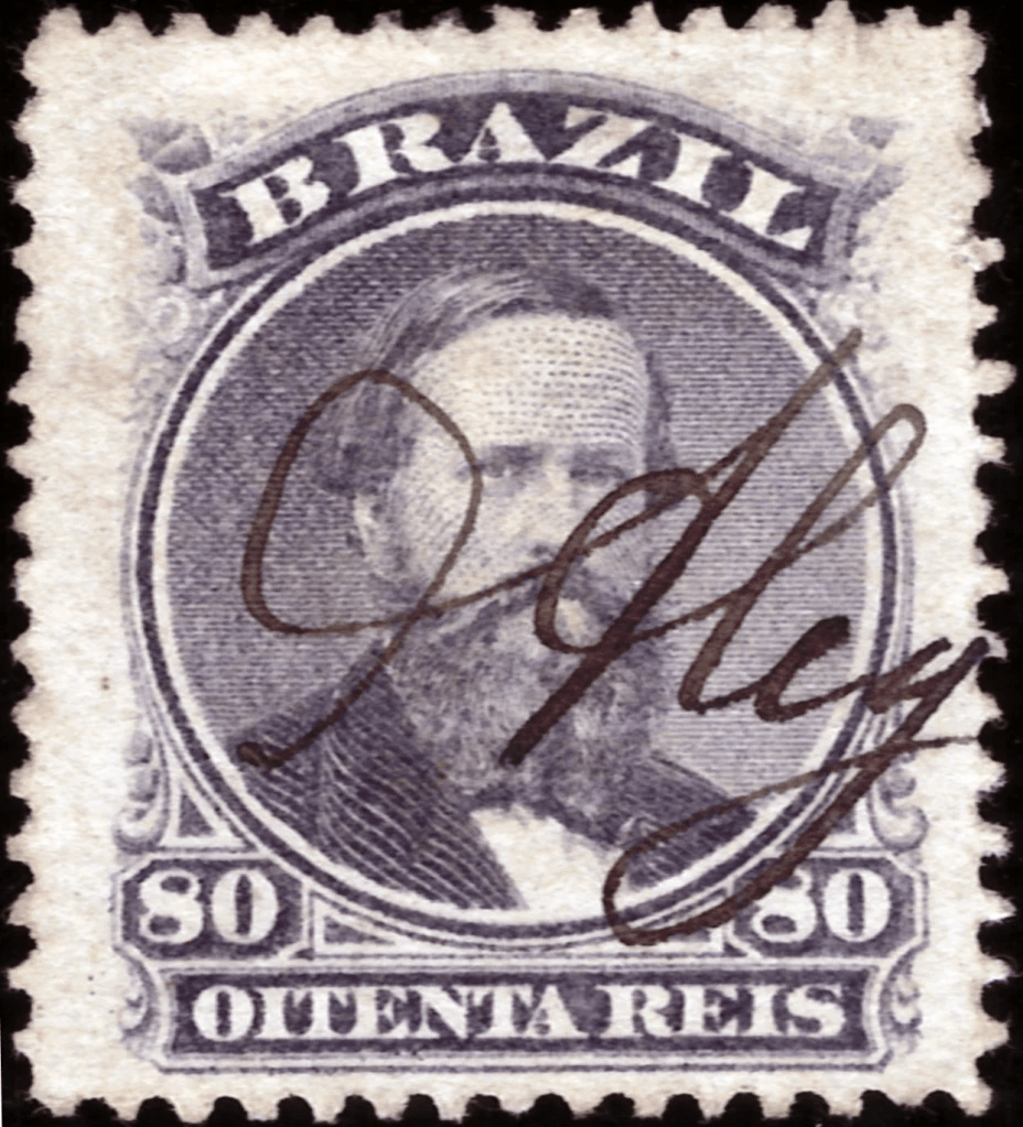
So far, no imperial postmark has been seen for this locality.
Andere Namen: Palmeiras, Mataúna, Palmeiras de Goiás (1947)
Die Freguesia von S. Sebastião do Allemão (Hl. Sebastian des Deutschen) entstand im November 1857 und lag am Südufer des Flusses Capivari, ca. 150 km südlich der ehemaligen Provinzhauptstadt Goyaz (heute Goiás Velho) entfernt. Der Alemão war eigentlich kein Teutone, sondern bezog sich vermutlich auf einen Goldgräber namens Jonas Allemão, der sich dort 1794 niedergelassen hatte. Der Ort wuchs weiter, wurde im Dezember 1887 zur Villa und im Juli 1905 zur Stadt. Danach wechselte der Name dreimal: im Juni 1917 zu Palmeiras, im Dezember 1943 zu Mataúnas und im Juli 1947 zum heute noch aktuellen Palmeiras de Goiás.
Bisher konnte das Entstehungsdatum des dortigen Postamts nicht ermittelt werden. Da es aber nicht im Verzeichnis der kaiserlichen Postämter (Tabella das Agencias do Correio do Imperio, Rio de Janeiro, 1885) aufgelistet wurde, dürfte es 1885 oder 1886 sein, da sie als eine ehrenamtliche Postagentur (agencia não remunerada) im Almanak de Goyaz für 1887 genannt wurde:
Bisher wurde kein kaiserlicher Poststempel für diese Ortschaft gesehen.