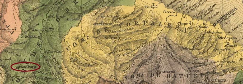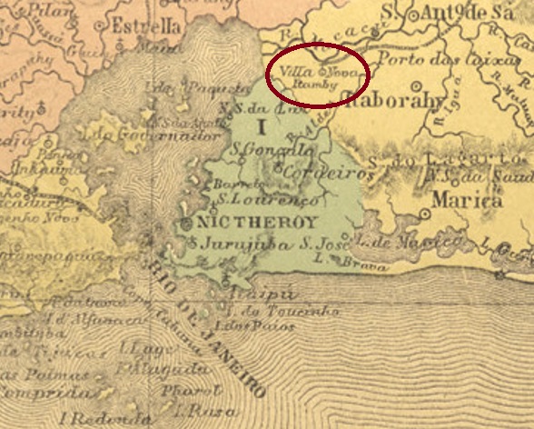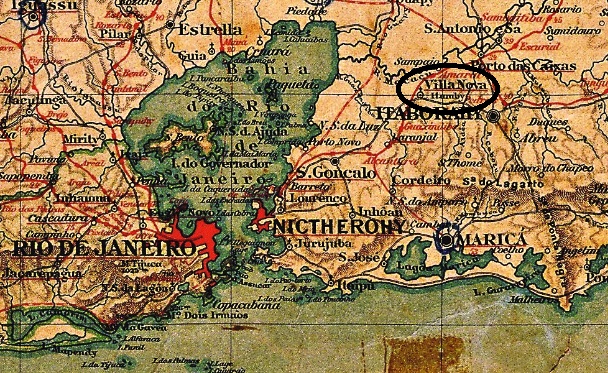
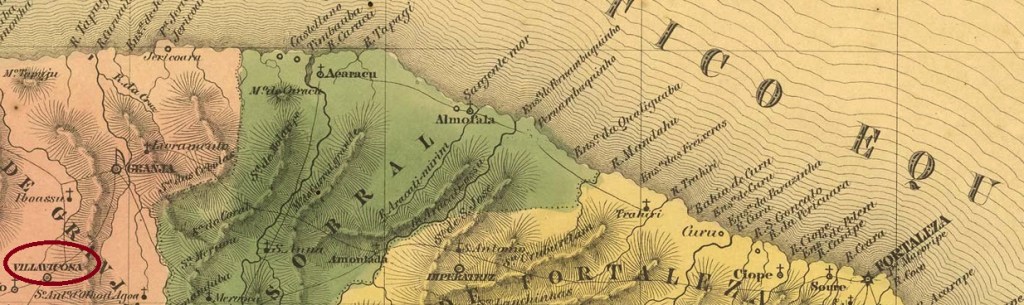
Other names: Aldeia de Ipiapaba, Viçosa do Ceará (1943)
The former Jesuit-administered Indian settlement of Aldeia de Ipiapaba was established by Royal Decree (Carta Regia) of October 1735 and was located 350 km west of the later provincial capital Fortaleza. In July 1759, the place became an independent municipality under the pompous name Villa Viçosa Real da América, which was only elevated to the status of a town – now with the shortened name Viçosa – in August 1882. Since December 1943, the município has been called Viçosa do Ceará.
As can be read in the Directory of Imperial Post Offices (Tabella das Agencias do Correio do Imperio, Rio de Janeiro, 1885, there was a post office there since 1832. Unfortunately, the first postmark is still unknown. Much later came VCE-0375b, in use from about 1880 to 1888, which was shown in Cicero A. Almeida’s Carimbos Postais – século XIX (Rio de Janeiro, 1989) under no. 814:

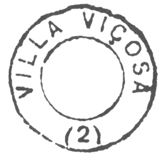
It was followed by VCE-0360a (Coll. José A. Junges): a double circle with the inscriptions VIÇOSA above and (CEARÁ) below. A single specimen was seen, dated 1896 in the centre.
Andere Namen: Aldeia de Ipiapaba, Viçosa do Ceará (1943)
Die ehemalige durch Jesuiten verwaltete Indianersiedlung Aldeia de Ipiapaba entstand durch Königlichen Brief (Carta Regia) vom Oktober 1735 und lag 350 km westlich der späteren Provinzhauptstadt Fortaleza. Im Juli 1759 wurde der Ort unter dem pompösen Namen Villa Viçosa Real da América eine eigenständige Gemeinde, der erst im August 1882 zur Stadt – mit gekürzten Namen Viçosa – erhoben wurde. Seit Dezember 1943 heißt der Município Viçosa do Ceará.
Wie im Verzeichnis der kaiserlichen Postämter (Tabella das Agencias do Correio do Imperio, Rio de Janeiro, 1885 zu lesen ist, gab es dort ein Postamt seit 1832. Leider ist der erste Poststempel immer noch unbekannt. Viel später kam VCE-0375b, der ab ca. 1880 bis 1888 verwendet wurde und in Cicero A. Almeidas Carimbos Postais – século XIX (Rio de Janeiro, 1989) unter Nr. 814 zu sehen ist:
Ihm folgte VCE-0360a (Samml. José A. Junges): ein Doppelkreis mit den Inschriften VIÇOSA oben und (CEARÁ) unten. Ein einiges Exemplar gesehen, datiert 1896 in der Mitte.