See also Magé (R. Koester: Carimbologia XXVII)
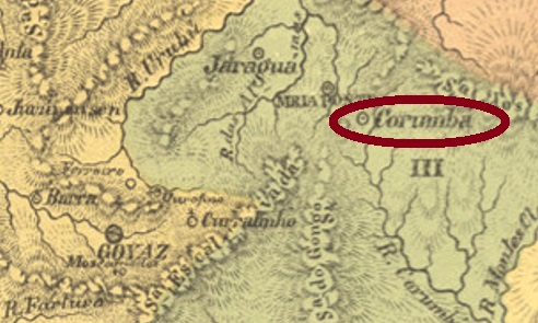
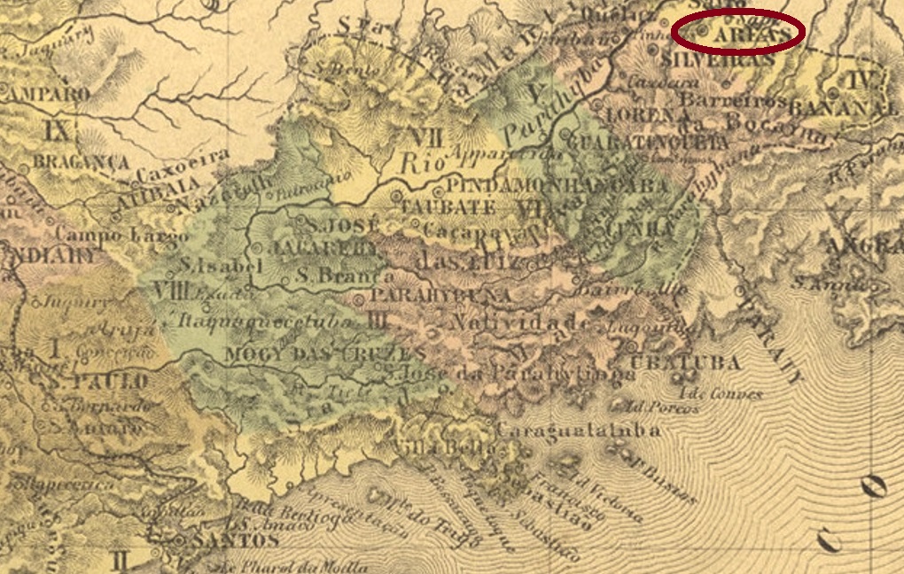
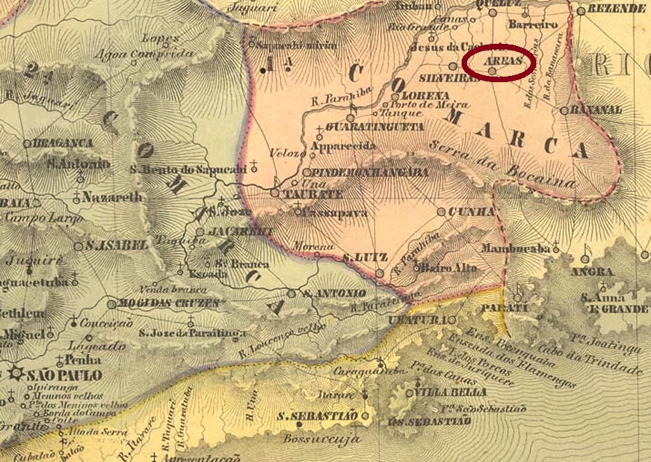
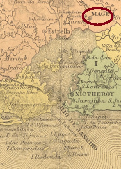
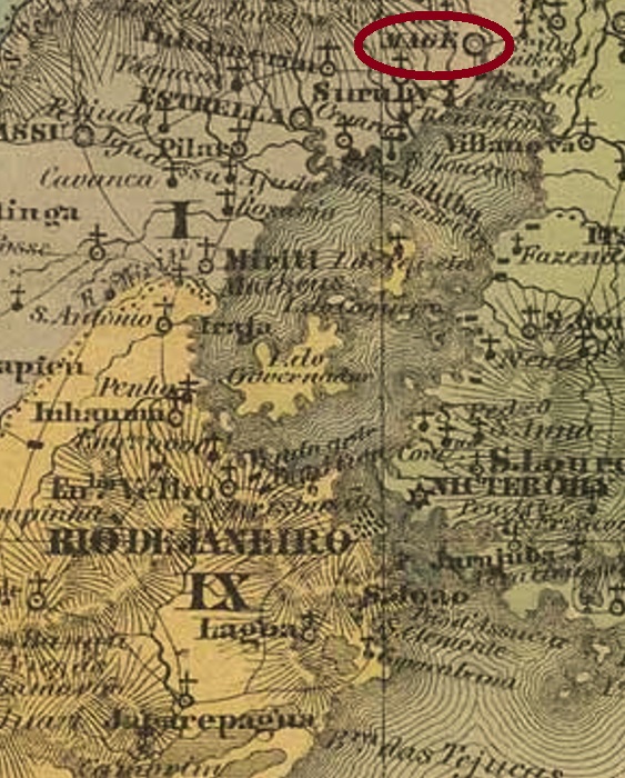
The freguesia of N. Sra. da Piedade de Magé was created by royal decree (Alvará Regio) as early as January 1696 and was located at the vila of Sant’Anna do Macacu on the east bank of the Magé River close to Guanabara Bay, over 60 km north of the capital Rio de Janeiro. It became a vila in June 1789 and a town in October 1857.
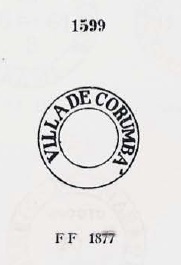
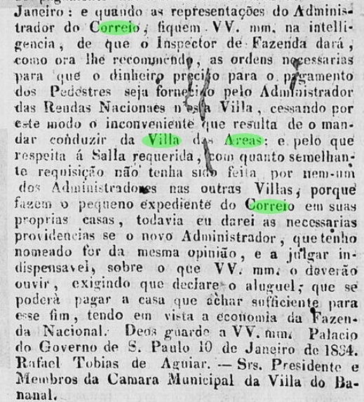
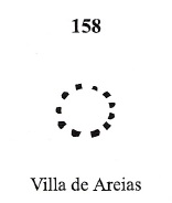
The local post office was established in December 1829, as both Nova Monteiro in Administrações e Agencias Postaes do Brasil Imperio (Brasil Filatelico/RJ, 1934-5; Reprint SPP 1994-1999) and the Directory of Imperial Post Offices (Tabella das Agencias do Correio do Imperio, Rio de Janeiro, 1885) concur. The oldest postmark VRJ-2360a was in use at least in 1843 and was already presented in the RHM catalogue:

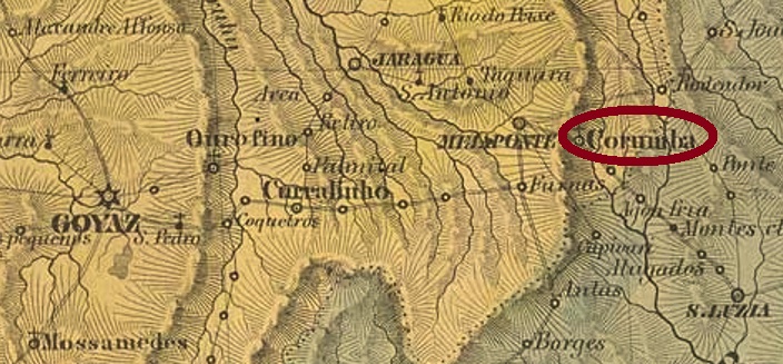
Later postmarks no longer bear the Villa designation and can be seen in R.Koester (Carimbologia XXVII).
Note: This blog will return after vacations on June 13, 2022
Siehe auch Magé (R. Koester: Carimbologia XXVII)
Die Freguesia von N. Sra. da Piedade de Magé entastand durch königliche Verfügung (Alvará Regio) bereits im Januar 1696 und lag bei der Vila von Sant’Anna do Macacu am Ostufer des Magé-Flusses nah an der Guanabara-Bucht, gut 60 km nördlich der Hauptstadt Rio de Janeiro entfernt. Im Juni 1789 wurde daraus eine Vila und im Oktober 1857 eine Stadt.
Das örtliche Postamt wurde im Dezember 1829 ins Leben gerufen, wie sowohl Nova Monteiro in Administrações e Agencias Postaes do Brasil Imperio (Brasil Filatelico/RJ, 1934-5; Reprint SPP 1994-1999) als auch das Verzeichnis der kaiserlichen Postämter (Tabella das Agencias do Correio do Imperio, Rio de Janeiro, 1885) übereinstimmend registrieren. Der älteste Poststempel VRJ-2360a war zumindest 1843 in Gebrauch und wurde bereits im RHM-Katalog vorgestellt:

Spätere Poststempel tragen die Bezeichnung Villa nicht mehr und sind bei R.Koester (Carimbologia XXVII) zu sehen.
Bitte beachten: Dieser Blog wird nach der Urlaubspause am 13. Juni 2022 fortgeführt.