Other names: Seridó, Caicó (1890)
See also Principe/RN (R. Koester: Carimbologia XXXII)
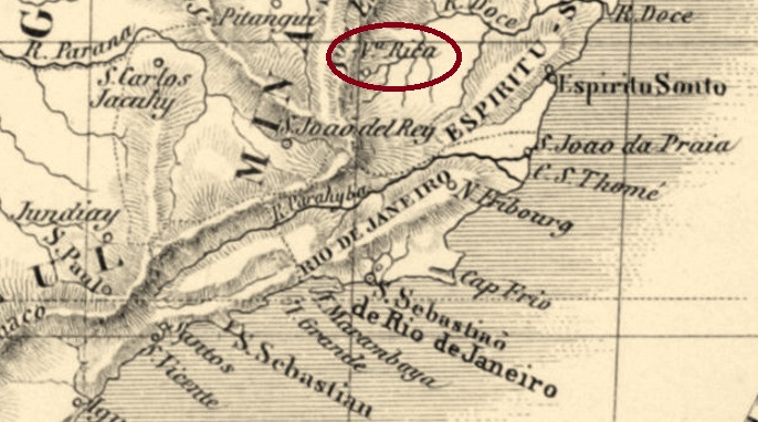
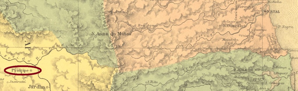
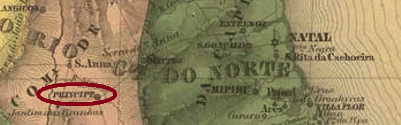
The former freguesia of Príncipe already existed in the 18th century and was situated on the south bank of the river Seridó, 280 km west of the future provincial capital Natal. However, the freguesia still belonged to the Vila of Piancó, which in turn was in Parahyba. Only when it was promoted as Vila Nova do Principe in July 1788 did it change to the Capitania of Rio Grande do Norte. This was followed by its designation as a town in December 1868. After the end of the Empire, the town’s name changed twice in 1890: in February to Seridó and in July to Caicó, which is still current today.
Two creation years were found for the local post office. First in April 1818, as both Nova Monteiro in Administrações e Agencias Postaes do Brasil Imperio (Brasil Filatelico/RJ, 1934-5; Reprint SPP 1994-1999) and the Directory of Imperial Post Offices (Tabella das Agencias do Correio do Imperio, Rio de Janeiro, 1885) record. Then again in 1863, as Reinhold Koester writes in Carimbologia XXXII. So far, no imperial postmark could be assigned with certainty to this locality.
Andere Namen: Seridó, Caicó (1890)
Siehe auch Principe/RN (R. Koester: Carimbologia XXXII)
Die ehemalige Freguesia von Príncipe gab es schon im 18. Jahrhundert und lag am Südufer des Flusses Seridó, 280 km westlich der künftigen Provinzhauptstadt Natal. Allerdings gehörte der Freguesia noch zur Vila von Piancó, die wiederum in Parahyba war. Erst bei dem Aufstieg als Vila Nova do Principe im Juli 1788 wechselte der Ort zur Capitania von Rio Grande do Norte. Im Dezember 1868 folgte die Ernennung zur Stadt. Nach dem Ende des Kaiserreichs wechselte der Ortsname 1890 gleich zweimal: Im Februar zu Seridó und im Juli zum heute noch aktuellen Caicó. Zwei Gründungsjahre wurden fürs örtliche Postamt gefunden. Erstmals im April 1818, wie sowohl Nova Monteiro in Administrações e Agencias Postaes do Brasil Imperio (Brasil Filatelico/RJ, 1934-5; Reprint SPP 1994-1999) als auch das Verzeichnis der kaiserlichen Postämter (Tabella das Agencias do Correio do Imperio, Rio de Janeiro, 1885) registrieren. Dann nochmals 1863, wie Reinhold Koester in Carimbologia XXXII schreibt. Bisher konnte kein kaiserlicher Poststempel mit Sicherheit dieser Ortschaft zugeordnet werden.