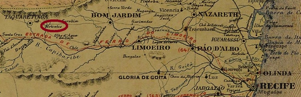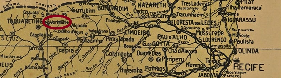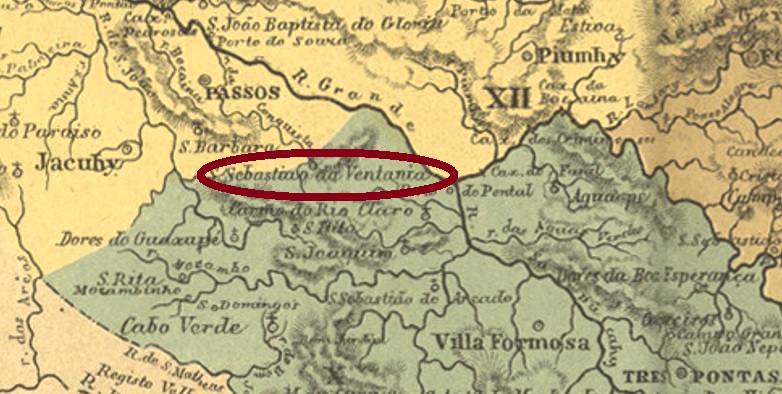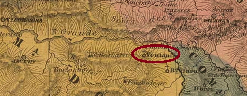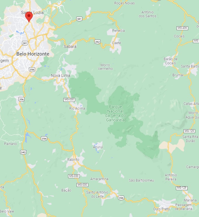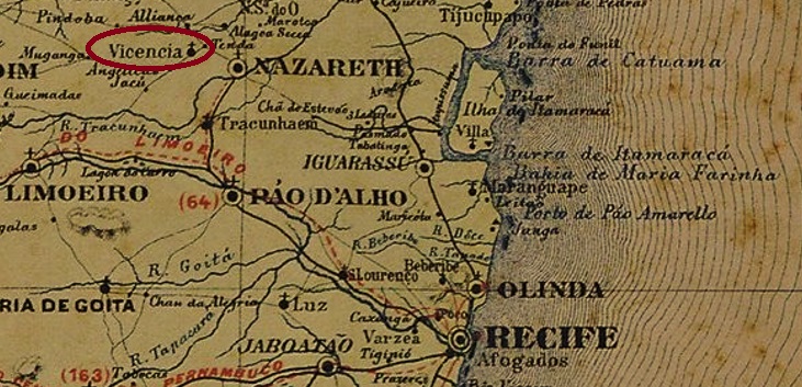
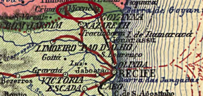
The Freguesia of Sant’Anna da Vicencia was founded in June 1879 near Nazareth, located on the south bank of the Sirgi River, 90 km northwest of Recife, the provincial capital. In May 1891 it was promoted to Vila, but four years later it was demoted to a district of Nazareth. It was not until September 1928 that Vicência (as it is written today) became an independent Município again.
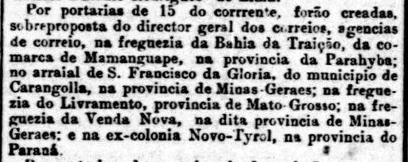
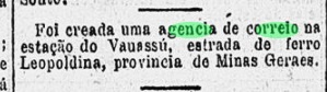
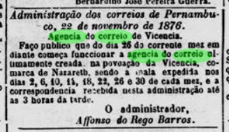
Two years of creation for the local post office have been found. First in 1873, as can be read in the Directory of Imperial Post Offices (Tabella das Agencias do Correio do Imperio, Rio de Janeiro, 1885) and also in the Postal Report (Relatorio Postal) for 1887. Then again in 1876, as shown in the regional press:
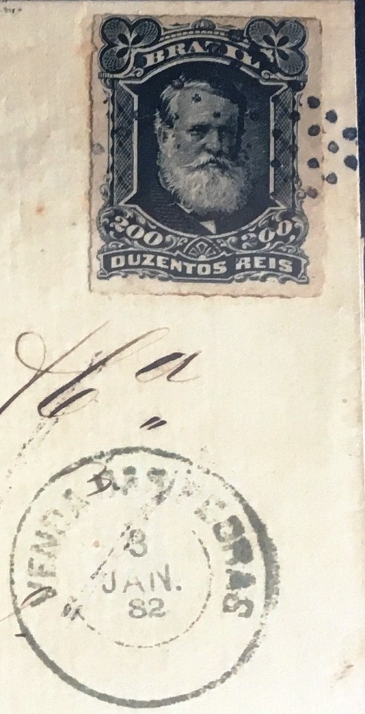
The imperial postmark is the French type VPE-0670a (Coll. Marco Morel): a double circle with the inscription VICENCIA above and the typical star between brackets below. The only example so far bears no date and was found on a stamp from 1885.
Die Freguesia von Sant’Anna da Vicencia wurde im Juni 1879 bei Nazareth gegründet und lag am Südufer des Flusses Sirgi, 90 km nordwestlich der Provinzhauptstadt Recife entfernt. Im Mai 1891 erfolgte der Aufstieg zur Vila, aber vier Jahre später wurde die Ortschaft zum Distrikt von Nazareth degradiert. Erst seit September 1928 ist Vicência (wie man heute schreibt) wieder ein eigenständiger Município.
Zwei Gründungsjahre fürs örtliche Postamt wurden gefunden. Erstmals 1873, wie im Verzeichnis der kaiserlichen Postämter (Tabella das Agencias do Correio do Imperio, Rio de Janeiro, 1885) und auch im Postbericht (Relatorio Postal) für 1887 zu lesen ist. Dann wieder 1876, wie aus der Regionalpresse hervorgeht:

Der kaiserliche Poststempel ist der französischer Typus VPE-0670a (Samml. Marco Morel): ein Doppelkreis mit der Inschrift VICENCIA oben und dem typischen Stern zwischen Klammern unten. Das bisher einzige Exemplar trägt kein Datum und wurde auf einer Marke aus 1885 gefunden.