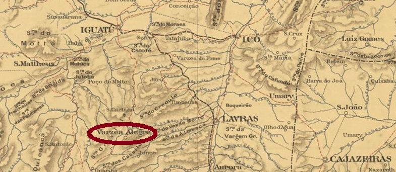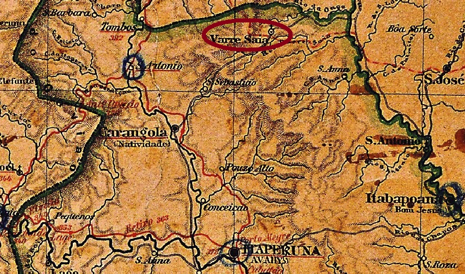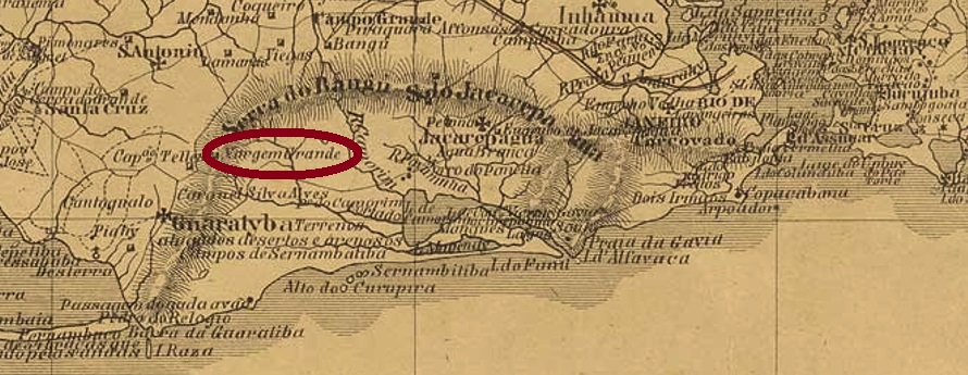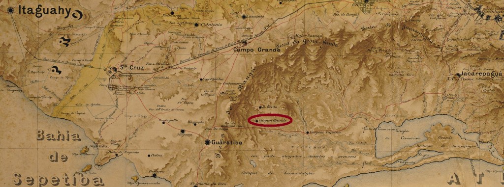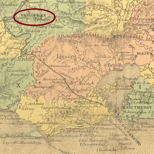
The sesmaria (land area) of Vassouras and Rio Bonito was already mentioned in documents in 1782. It was located 120 km northwest of the future capital Rio de Janeiro and became Nossa Senhora da Conceição da Villa de Vassouras in January 1833. Vassouras has been a city since September 1857.
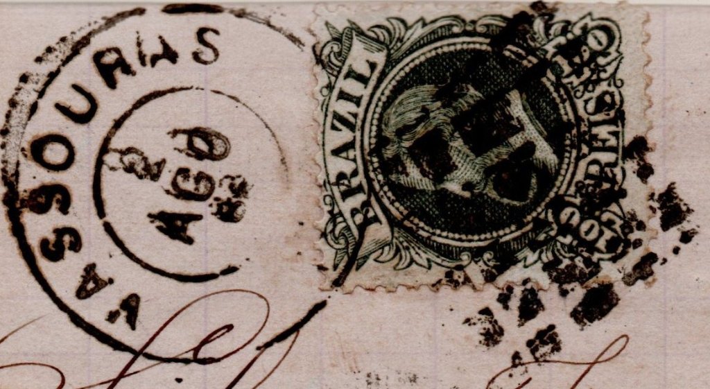
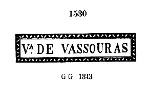
As Nova Monteiro writes in Administrações e Agencias Postaes do Brasil Imperio (Brasil Filatelico/RJ, 1934-5; Reprint SPP 1994-1999), there was a post office there since September 1832. The oldest postmark is probably VRJ-2355a, which was used from 1832 until at least 1843, also occurs in sepia and has already been presented by Paulo Ayres in Catálogo de Carimbos Brasil-Império (S. Paulo, 1937, 1942) under no. 1530 as well as by the RHM catalogue under P-RJ-46:

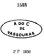
It was followed by VRJ-0990a, which was also listed by Paulo Ayres (No. 1533) and could be found from about 1850:

After that there were five stamps as double circles. VEJ-0990b (Coll. Fuad Ferreira Fo.) is a French type with the inscription VASSOURAS above and the star between brackets below. Dates in the centre from 1867 to 1874. VRJ-0990c (Coll. José A. Junges) has the same inscription at the top, but now reads ( C ) at the bottom, for Cidade. Dated from about 1877 to 1882 in the centre. VRJ-0990d (Coll. José A. Junges) has the inscription CID. DE VASSOURAS, below is an ornament in lozenge formed by four small lozenges. The inner dates were found for the period 1884-1887. VRJ-0990e (Coll. José A. Junges) has the inscription CIDE. DE VASSOURAS, below the ornament is now like a hashtag. Dated 1888-1889 in the middle. Finally there comes VRJ-0990f (Coll. José A. Junges): here the inscription above is simply VASSOURAS, below is a 12-pointed star, with internal dates from 1890 to 1893.
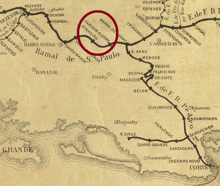
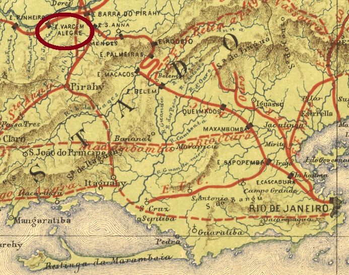
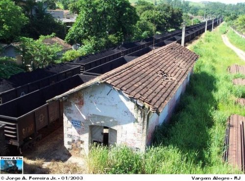
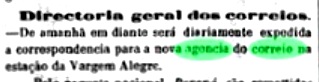
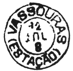
In June 1865, the train station was inaugurated there on the main line of the E.F. Dom Pedro II railway company. The line passed to the E.F. Central do Brasil in 1889, and from 1975 until its closure in 1996 it belonged to Rede Ferroviária Federal S.A. (estacoesferroviarias.com.br). The station was renamed Barão de Vassouras in May 1925. The Directory of Imperial Post Offices (Tabella das Agencias do Correio do Imperio, Rio de Janeiro, 1885) lists the station post office as originating in 1855. This will be a misprint, as much more plausible is the date of 31.12.1865, as recorded by Paulo Novaes in agenciaspostais.com.br.
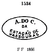
Three station postmarks were found, starting with VRJ-0991a, which also occurs in blue, was in circulation from 1865 and has already been presented by Paulo Ayres (op.cit.) with no. 1534.

Two postmarks as double circles followed. VRJ-0991b (Coll. José A. Junges) has the inscription EST. DE VASSOURAS at the top, and an ornament in lozenge formed by four small lozenges at the bottom. The internal dates so far go from 1888 to 1890. VRJ-0991c has already been shown by Cicero A. Almeida in Carimbos Postais – século XIX (Rio de Janeiro, 1989) under the no. MPT 800:
Two mute cancellations from Vassouras have survived. The first one was seen in agenciaspostais.com.br:
The other one from the collection José A. Junges:

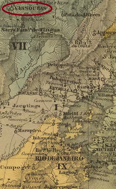
Die Sesmaria (Landfläche) von Vassouras und Rio Bonito war bereits 1782 urkundlich erwähnt. Sie lag 120 km nordwestlich der künftigen Hauptstadt Rio de Janeiro entfernt und wurde im Januar 1833 zu Nossa Senhora da Conceição da Villa de Vassouras. Seit September 1857 ist Vassouras eine Stadt.
Wie Nova Monteiro in Administrações e Agencias Postaes do Brasil Imperio (Brasil Filatelico/RJ, 1934-5; Reprint SPP 1994-1999) schreibt, gab es dort ein Postamt seit September 1832. Der älteste Poststempel ist wohl VRJ-2355a, der ab 1832 bis mindestens 1843 verwendet wurde, auch in sepia vorkommt und bereits sowohl durch Paulo Ayres in Catálogo de Carimbos Brasil-Império, (S. Paulo, 1937, 1942) unter Nr. 1530 als auch durch den RHM-Katalog unter P-RJ-46 vorgestellt wurde:
Ihm folgte VRJ-0990a, der auch bei Paulo Ayres (Nr. 1533) aufgelistet und ab ca. 1850 zu finden war:
Danach gab es fünf Stempel als Doppelkreise. VEJ-0990b (Samml. Fuad Ferreira Fo.) ist ein französischer Typus mit der Inschrift VASSOURAS oben und dem Stern zwischen Klammern untern. Daten in der Mitte von 1867 bis 1874. VRJ-0990c (Samml. José A. Junges) hat dieselbe Inschrift oben, unten ist nun ( C ) zu lesen, für Cidade. Datiert ab ca. 1877 bis 1882 in der Mitte. VRJ-0990d (Samml. José A. Junges) hat oben die Inschrift CID. DE VASSOURAS, unten ist ein Ornament in Raute, das aus vier kleinen Rauten gebildet wird. Die inneren Daten wurden für den Zeitraum 1884-1887 gefunden. VRJ-0990e (Samml. José A. Junges) hat oben die Inschrift CIDE. DE VASSOURAS, unten ist das Ornament nun wie ein Hashtag. Datiert 1888-1889 in der Mitte. Schließlich kommt VRJ-0990f (Samml. José A. Junges): hier lautet die obige Inschrift lediglich VASSOURAS, unten ist ein 12-zackiger Stern, mit inneren Daten von 1890 bis 1893.
Im Juni 1865 wurde dort der Bahnhof auf der Hauptslinie der E.F. Dom Pedro II Bahngesellschaft eingeweiht. Die Strecke ging 1889 zur E.F. Central do Brasil über, von 1975 bis zur Stilllegung 1996 gehörte sie der Rede Ferroviária Federal S.A. (estacoesferroviarias.com.br). Der Bahnhof wurde im Mai 1925 zu Barão de Vassouras umbenannt. Das Verzeichnis der kaiserlichen Postämter (Tabella das Agencias do Correio do Imperio, Rio de Janeiro, 1885) listet das Bahnhofspostamt mit Entstehungsjahr 1855 auf. Dies wird ein Druckfehler sein, denn viel plausibler ist das Datum vom 31.12.1865, wie durch Paulo Novaes in agenciaspostais.com.br ermittelt.
Drei Bahnhofspoststempel wurden gefunden, beginnend mit VRJ-0991a, der auch in blau vorkommt, von 1865 an im Umlauf war und durch Paulo Ayres (op.cit.) mit Nr.1534 bereits präsentiert wurde.
Es folgten zwei Poststempel als Doppelkreise. VRJ-0991b (Samml. José A. Junges) hat oben die Inschrift EST. DE VASSOURAS, unten ist ein Ornament in Raute zu sehen, das aus vier kleinen Rauten gebildet wird. Die inneren Daten gehen bisher von 1888 bis 1890.VRJ-0991c wurde bereits gezeigt von Cicero A. Almeida in Carimbos Postais – século XIX (Rio de Janeiro, 1989) unter der Nr. MPT 800:

Zwei Stumme Entwertungen aus Vassouras sind noch überliefert. Einmal in agenciaspostais.com.br zu sehen:

Und einmal wieder aus der Sammlung José A. Junges: