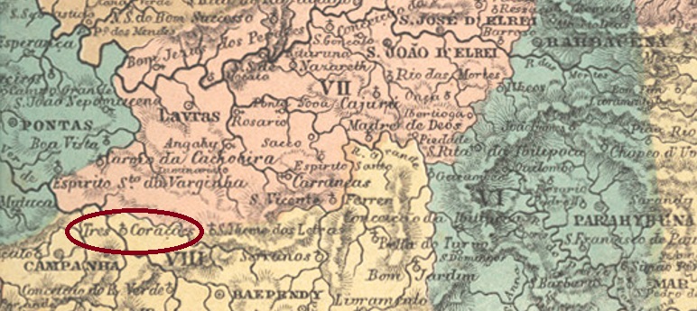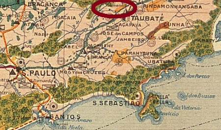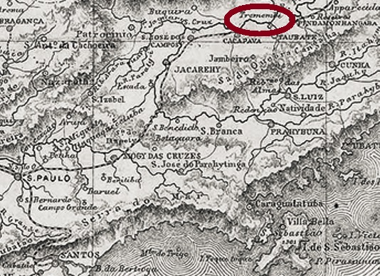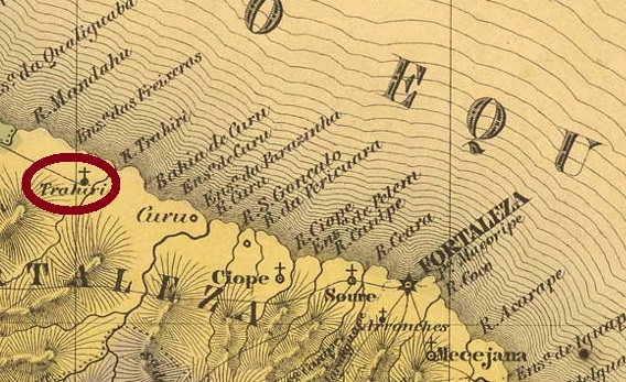
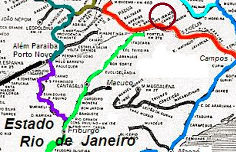
Três Ilhas (Three Islands) was already a small settlement on the Rio Preto from the middle of the 19th century, located directly on the provincial border with Minas Gerais, barely 170 km north of the capital Rio de Janeiro. The village initially belonged to Valença, but in March 1890 it became part of the newly created município of Santa Teresa and in December 1943 it became part of the municipality of Rio das Flores.
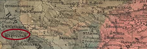
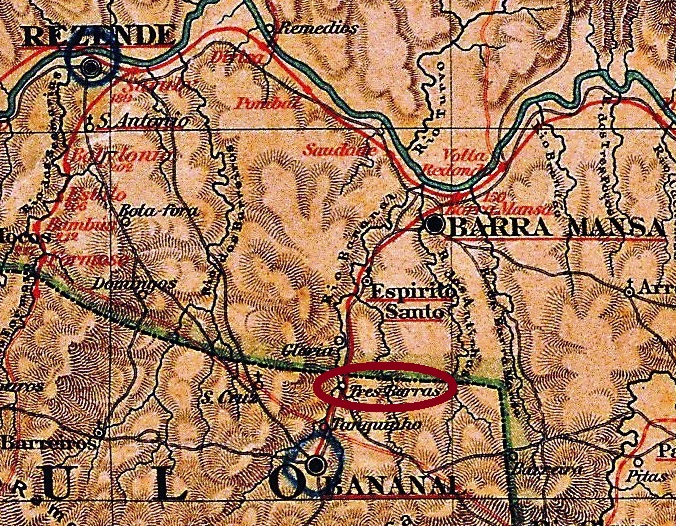
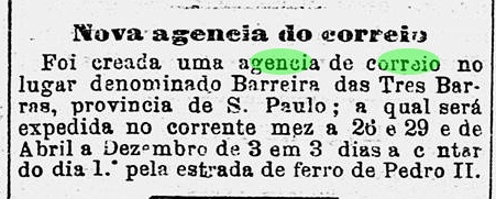
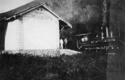
The postal history of this locality brings confusion with the locality of the same name on the opposite bank of the river, in the province of Minas Gerais (TMG-3510). The agency in Rio province came into being later, in October 1881, as Paulo Novaes writes in agenciaspostais.com.br, and experienced its heyday when the station of the E.F. Rio das Flores railway company was inaugurated there around 1889. Before that, the provincial bridge (today: Ponte das Três Ilhas) was in such a bad condition that the trade route practically came to a standstill. The railway line belonged to E.F. Central do Brasil from 1910 until its closure in 1965.
An imperial postmark could be found for this place: TRJ-2268a (Coll. José A. Junges) is a double circle with the inscription TRES=ILHAS above and an ornament in lozenge below formed by four small lozenges. The cancel also exists in blue and dark green and shows dates from 1886 to 1899 in its centre.
Três Ilhas (Drei Insel) war bereits ab Mitte des 19. Jahrhunderts eine kleine Siedlung am Rio Preto, die direkt an der Provinzgrenze zu Minas Gerais lag, knapp 170 km nördlich der Hauptstadt Rio de Janeiro entfernt. Der Ort gehörte zunächst zu Valença, ging aber im März 1890 zum neu gegründeten Município von Santa Teresa und im Dezember 1943 zur Gemeinde Rio das Flores.
Die Postgeschichte dieser Ortschaft bringt Verwechslungsgefahr mit dem gleichnamigen Ort am gegenüberliegenden Flussufer, in der Provinz Minas Gerais (TMG-3510). Die Agentur in der Provinz Rio entstand später, im Oktober 1881, wie Paulo Novaes in agenciaspostais.com.br schreibt, und erlebte ihre Blüte, als dort um 1889 der Bahnhof der E.F. Rio das Flores Bahngesellschaft eingeweiht wurde. Davor war die Landesbrücke (heute: Ponte das Três Ilhas) ein einem derart schlechten Zustand, dass der Handelsweg praktisch zum Erliegen kam. Die Bahnlinie gehörte von 1910 bis zur Stilllegung 1965 der E.F. Central do Brasil.
Ein kaiserlicher Poststempel war für diesen Ort zu finden: TRJ-2268a (Samml. José A. Junges) ist ein Doppelkreis mit der Inschrift TRES=ILHAS oben und einem Ornament in Raute unten, das aus vier kleinen rauten gebildet wird. Der Stempel existiert auch in blau und dunkelgrün und zeigt in seiner Mitte Daten von 1886 bis 1899.