Updated on January 11, 2022
Another name: Brejo dos Padres
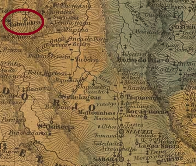
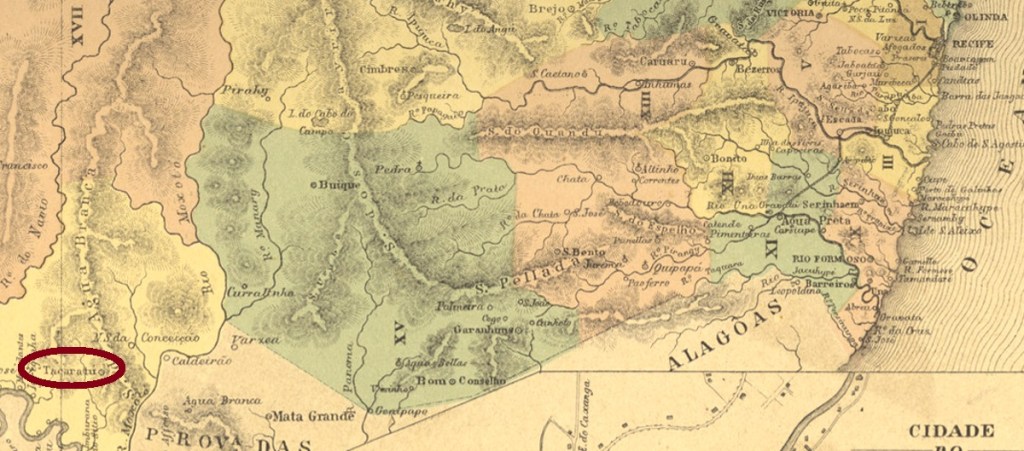
The freguesia of Brejo dos Padres (Priests’ Swamp), created in 1761, was subordinated to Jatobá in May 1808 and located 440 km southwest of Recife, the provincial capital. In June 1849 it became a vila, but in May 1887 it was downgraded as a district of Jatobá. Finally, Tacaratu became an independent município in September 1928. The word from the Tupi language means mountains with many peaks.
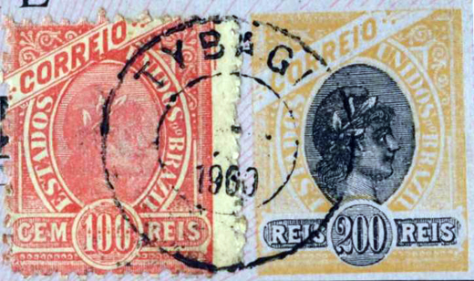
Nova Monteiro writes in Administrações e Agencias Postaes do Brasil Imperio (Brasil Filatelico/RJ, 1934-5; Reprint SPP 1994-1999) that there had been a post office there since April 1858. This is confirmed by the Directory of Imperial Postal Agencies (Tabella das Agencias do Correio do Imperio, Rio de Janeiro, 1885). A postmark has been found for the 19th century, apparently not the very first one. TPE-0610b (Coll. Fuad Ferreira Fo.), which also occurs in purple, is a French type, with the inscription TACARATU at the top and the star between brackets at the bottom. The date in the middle was inscribed by hand, between ca. 1883 and 1889.

Aktualisiert am 11. Januar 2022
Anderer Name: Brejo dos Padres
Die 1761 entstandene Freguesia von Brejo dos Padres (Priestersumpf) wurde im Mai 1808 Jatobá untergeordnet und lag 440 km südwestlich der Provinzhauptstadt Recife entfernt. Im Juni 1849 wurde daraus eine Vila, die aber im Mai 1887 als Distrikt von Jatobá herabgesetzt wurde. Schließlich wurde Tacaratu im September 1928 ein eigenständiger Município. Das Wort aus der Tupi-Sprache bedeutet Gebirge mit vielen Bergspitzen.
Nova Monteiro schreibt in Administrações e Agencias Postaes do Brasil Imperio (Brasil Filatelico/RJ, 1934-5; Reprint SPP 1994-1999), dass es dort seit April 1858 ein Postamt gab. Dieses wird durch das Verzeichnis der kaiserlichen Postagenturen (Tabella das Agencias do Correio do Imperio, Rio de Janeiro, 1885) bestätigt. Ein Poststempel wurde für den 19. Jahrhundert nachgewiesen, offenbar nicht der allererste. TPE-0610b (Samml. Fuad Ferreira Fo.), der auch in lila vorkommt, ist ein Französischer Typus, mit der Inschrift TACARATU oben und dem Stern zwischen Klammern unten. Das Datum in der Mitte wurde mit der Hand eingetragen, zwischen ca. 1883 und 1889.