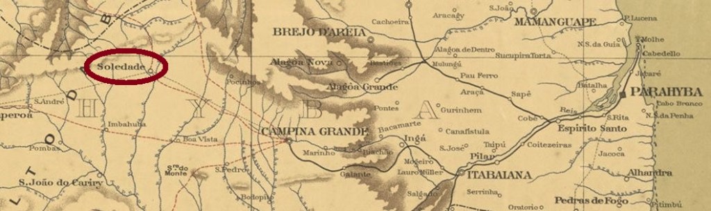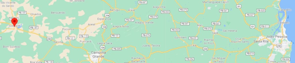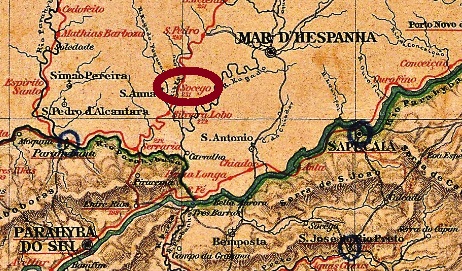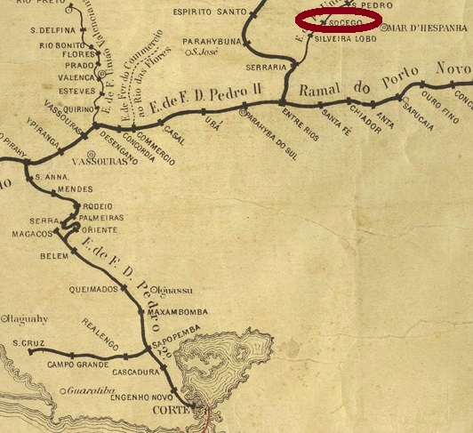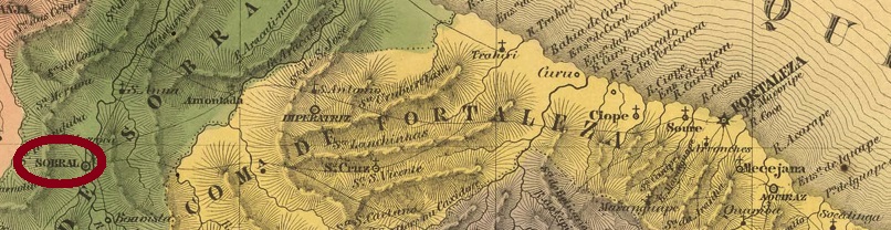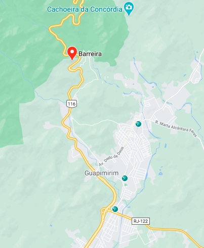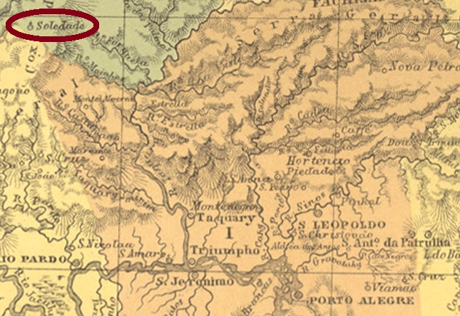
The southernmost Soledade in imperial Brazil was a district of Passo Fundo from January 1857, located about 220 km northwest of the provincial capital Porto Alegre. In March 1875 it became a villa, today it is a município.
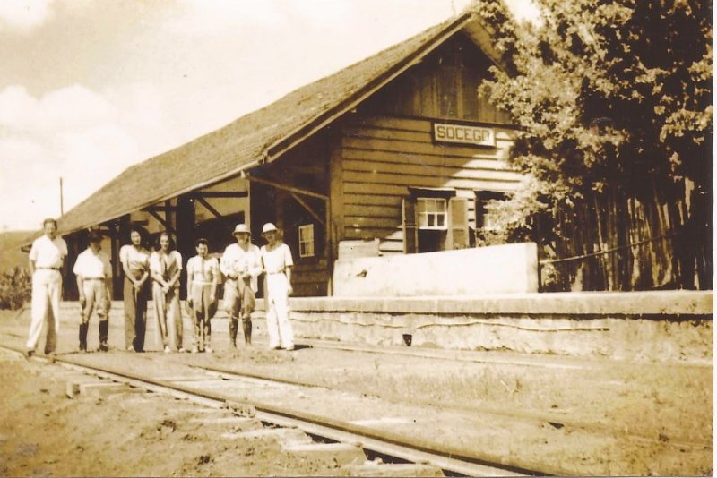
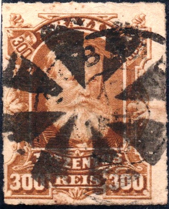
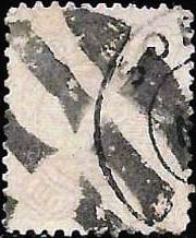
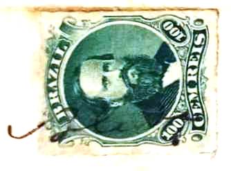
Nova Monteiro writes in Administrações e Agencias Postaes do Brasil Imperio (Brasil Filatelico/RJ, 1934-5; Reprint SPP 1994-1999) that there was a post office there since October 1860. Two postmarks in double circle and one handwritten cancellation were found. From SRS-0435b (Coll. José A. Junges) we know examples in green and blue as well as in black. Here the inscription at the top is SOLEDADE, at the bottom there is a (2) between the circles. The dates in the middle were found for the period 1877-1889. SRS-0435b (image from the internet) has the same inscription at the top, but at the bottom it now reads (R.G. DO SUL). Both examples have no date inside and were found on 1887 and 1890 issues.
The manuscript cancellation was found on a D.Pedro issue v. 1876 on a letter from 1877 in the Fuad Ferreira Fo collection:
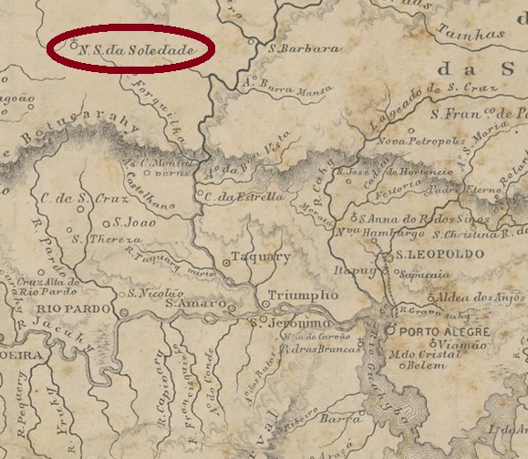
Die südlichste Soledade im kaiserlichen Brasilien war ab Januar 1857 ein Distrikt von Passo Fundo, der ca. 220 km nordwestlich der Provinzhauptstadt Porto Alegre entfernt lag. Im März 1875 wurde daraus eine Villa, heute ist es ein Município.
Nova Monteiro schreibt in Administrações e Agencias Postaes do Brasil Imperio (Brasil Filatelico/RJ, 1934-5; Reprint SPP 1994-1999), dass es dort seit Oktober 1860 ein Postamt gab. Zwei Poststempel im Doppelkreis und eine Entwertung per Hand wurden gefunden. Von SRS-0435b (Samml. José A. Junges) kennen wir außer in schwarz auch Beispiele in grün und blau. Hier lautet die Inschrift oben SOLEDADE, unten steht eine (2) zwischen den Kreisen. Die Daten in der Mitte wurden für den Zeitraum 1877-1889 gefunden. SRS-0435b (Abb. aus dem Internet) hat die gleiche Inschrift oben, aber unten liest man nun (R.G. DO SUL). Beide Exemplare tragen kein Datum im Inneren und wurden auf Ausgaben von 1887 und 1890 gefunden.
Die handschriftliche Entwertung wurde auf einer D.Pedro Ausgabe v. 1876 auf einem Brief aus 1877 in der Samml. Fuad Ferreira Fo. gefunden: