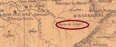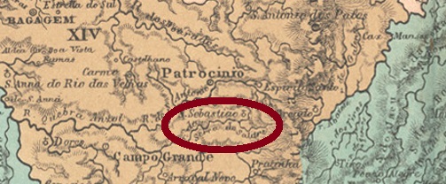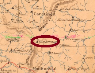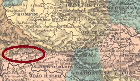
Today’s São Tiago, formerly also spelled Santiago, was a district of São José d’El Rey from May 1855, located just under 200 km southwest of the provincial capital Ouro Preto. In the early republic, more precisely in September 1891, the district changed to the new município of Bom Sucesso. Since December 1948, São Tiago has been an independent municipality.
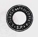
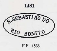
A local post office existed there since January 1879, as Paula Sobrinho writes in História Postal de Minas Gerais (Belo Horizonte, 1997). The earliest postmark so far is SMG-3735a (Coll. Márcio Protzner): a double circle with the inscriptions SANTIAGO above and (MINAS) below. The dates at the centre were found for 1885 and 1886. It was followed by SMG-3475a (Col. José A. Junges), also a double circle, now with the inscription S. THIAGO above. All dates in the centre are found so far in the Republic: 1892 to 1904.
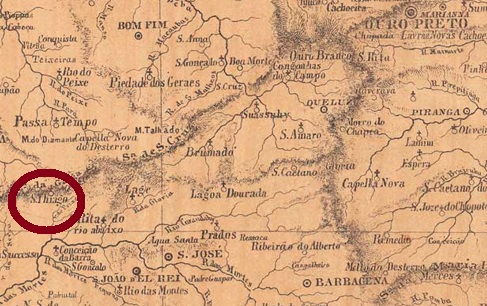
Das heutige São Tiago, das früher auch Santiago geschrieben wurde, war ab Mai 1855 ein Distrikt von São José d’El Rey, der knapp 200 km südwestlich von der Provinzhauptstadt Ouro Preto entfernt lag. In der früheren Republik, genauer im September 1891, wechselte der Distrikt zum neuen Município von Bom Sucesso. Seit Dezember 1948 ist São Tiago eine selbständige Gemeinde.
Ein örtliches Postamt gab es dort seit Januar 1879, wie Paula Sobrinho in História Postal de Minas Gerais (Belo Horizonte, 1997) schreibt. Der bisher früheste Poststempel ist SMG-3735a (Samml. Márcio Protzner): ein Doppelkreis mit den Inschriften SANTIAGO oben und (MINAS) unten. Die Daten in der Mitte wurden für 1885 und 1886 gefunden. Ihm folgte SMG-3475a (Samml. José A. Junges), auch ein Doppelkreis, nun mit der obigen Inschrift S. THIAGO. Alles Daten in der Mitte sind bisher in der Republik zu finden: 1892 bis 1904.