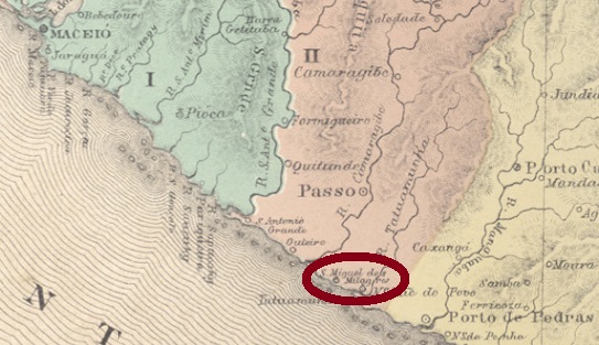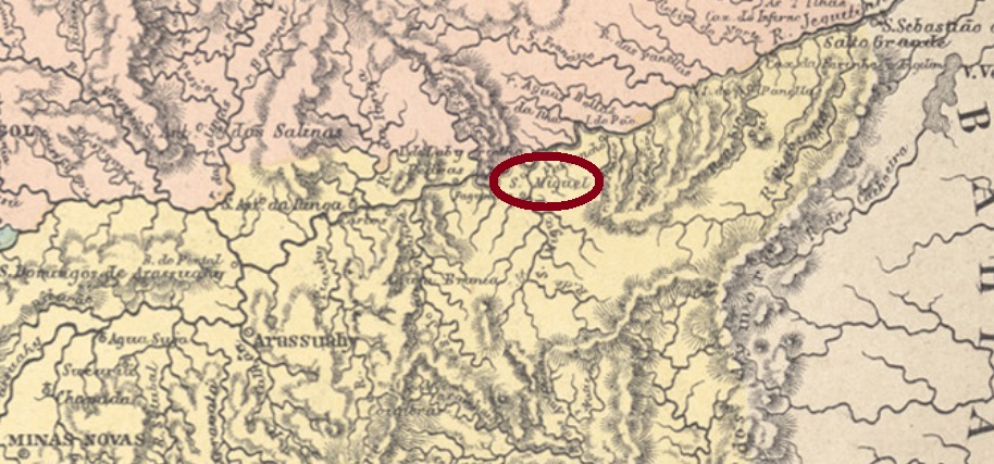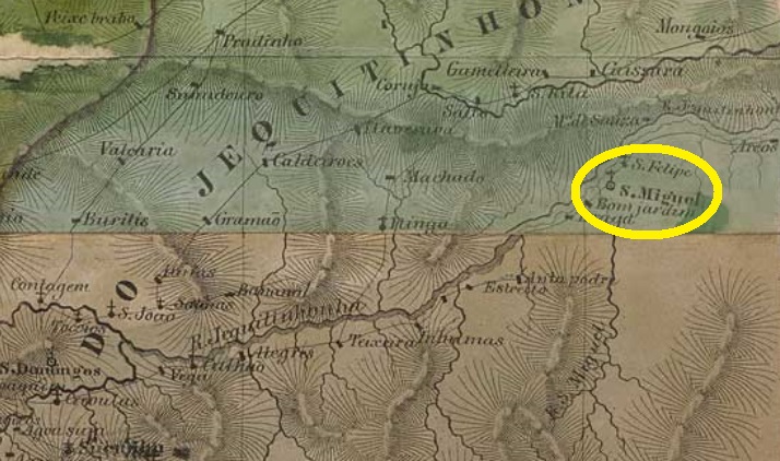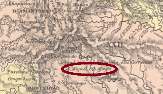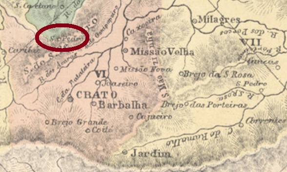
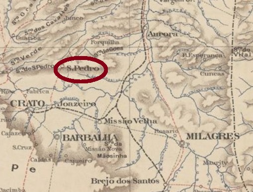
Other names: São José, Serra de S. Pedro do Crato, S. Pedro do Cariri, Caririaçu (1943).
This locality has a long and turbulent history, due to unfavourable climatic and economic conditions. It began with the creation of the district of São José in the municipality of Crato in May 1859, almost 500 km south of the provincial capital Fortaleza. In September 1873, this became the district of Serra de São Pedro, which was elevated to villa status in August 1876. Three years later, however, it was demoted to the district of S. José da Serra de S. Pedro in the municipality of Joazeiro, only to rise again to villa status in November 1883, this time under the name of São Pedro do Crato. The next demotion followed in July 1900, this time as a district in the municipality of Crato, and August 1905 came the final arousal to Villa of Serra de S. Pedro do Crato. Thereafter, this município changed the name twice: in August 1918 to S. Pedro do Cariri and in December 1943 to the current Caririaçu.
As stated by the Provincial President’s report in April 1888, there has been a post office there since 1887:

Relatório do Presidente da Provincia, April 1888.
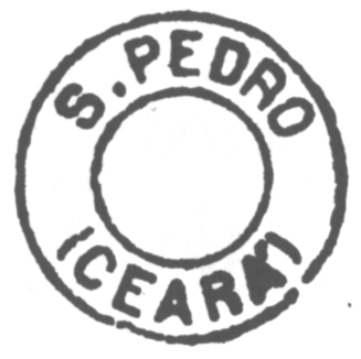
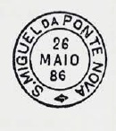
The only 19th century postmark surely identified for this locality so far, SCE-0300a, was presented by Cícero Antonio Almeida in Carimbos Postais – século XIX (Rio de Janeiro, 1989) under no. MPT 787.

Andere Namen: São José, Serra de S. Pedro do Crato, S. Pedro do Cariri, Caririaçu (1943)
Diese Ortschaft hat eine lange und bewegte Geschichte, bedingt durch ungünstige klimatische und wirtschaftliche Verhältnisse. Den Beginn machte die Gründung des Distrikts São José im Município von Crato im Mai 1859, fast 500 km südlich der Provinzhauptstadt Fortaleza entfernt. Im September 1873 wurde daraus der Distrikt von Serra de São Pedro, der im August 1876 zur Villa erhoben wurde. Drei Jahre später jedoch wurde der Ort zum Distrikt S. José da Serra de S. Pedro im Município von Joazeiro degradiert, um im November 1883 wieder zur Villa aufzusteigen, diesmal unter dem Namen São Pedro do Crato. Im Juli 1900 folgte der nächste Abstieg, diesmal als Distrikt im Município von Crato, und August 1905 kam der endgültige Aufstieg zur Villa von Serra de S. Pedro do Crato. Danach wechselte dieser Município zweimal den Namen: im August 1918 zu S. Pedro do Cariri und im Dezember 1943 zum aktuellen Caririaçu.
Wie der Bericht des Provinzpräsidenten im April 1888 besagt, gibt es dort ein Postamt seit 1887:
Der einzige, bisher sicher identifizierte Poststempel im 19. Jahrhundert für diese Ortschaft, SCE-0300a, wurde durch Cícero Antonio Almeida in Carimbos Postais – século XIX, (Rio de Janeiro, 1989) unter Nr. MPT 787 präsentiert.