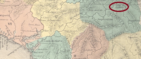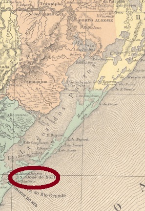
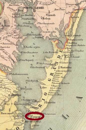
Another name: Norte
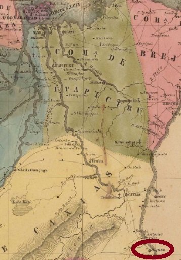
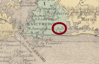
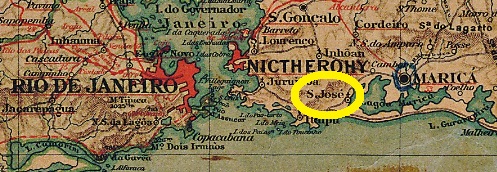
From April 1820, this village was a freguesia of Rio Grande, which was elevated to a villa in October 1831 and was located about 330 km south of the provincial capital Porto Alegre. The name do Norte (“from the north”) refers either to the location north of the mouth of the Lagoa dos Patos, or perhaps in contrast to another place of the same name, which was further south.
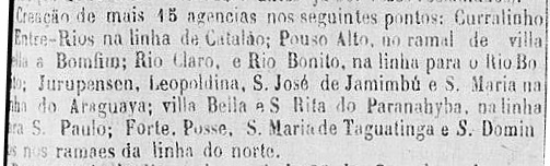
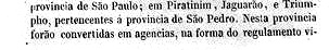
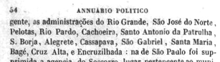
Here, too, two dates of origin for the local post office were found: once before, once after the Farroupilha Revolution (1835-1845). It follows that the postal service was temporarily paralyzed during the uprising. According to Nova Monteiro, the post office was first created in October 1831. The Imperial Mail Register (Tabella das Agencias do Correio do Imperio) from 1885 lists the agency from 1847, but this is probably the installing year, since the official creation to open was announced a year earlier:


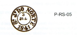
The oldest cancel is SRS-0335a, which was thought to be from Porto Alegre, for post towards north (Norte). Reinhold Koester nevertheless wrote in Porto Alegre and its cancels until the end of the imperial period (in Brazil, 140 years of postage stamps, ArGe Brazil, 1983) that it was also used on mail from north to Porto Alegre, and thus would be a transit cancel of São José do Norte. The cancel was used until about 1835 and is presented in the RHM catalogue under P-RS-06:

It was followed by SRS-0335b, which is also found in red and brown. Sometimes the year is missing, and this cancel is also shown by RHM:
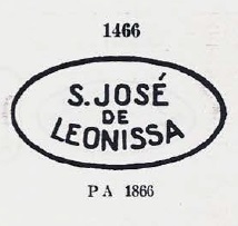
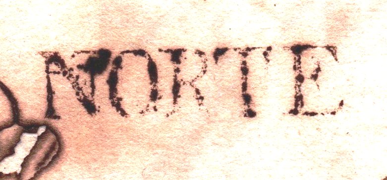
The last cancel, SRS-0335c (Coll. José A. Junges) is a double circle with the inscription S. JOSÉ DO NORTE above. It also appears in blue and its dates in the middle were found for the period 1876-1886.
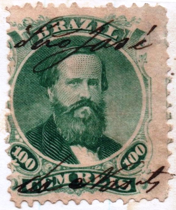
Between SRS-0335b and -0335c manuscript cancellations were also common, as this image from a letter of 1873 shows:
Anderer Name: Norte
Diese Ortschaft war ab April 1820 eine Freguesia von Rio Grande, die bereits im Oktober 1831 zur Villa erhoben wurde, und ca. 330 km südlich der Provinzhauptstadt Porto Alegre lag. Der Name do Norte („aus dem Norden“) bezieht sich entweder aus der Lage nördlich der Mündung der Lagoa dos Patos, oder vielleicht auch in Unterschied zu einem anderen Ort gleichen Namens, der weiter südlich lag.
Auch hier wurden zwei Entstehungsdaten fürs örtliche Postamt gefunden: einmal vor, einmal nach der Farroupilha-Revolution (1835-1845). Daraus folgt, dass der Postbetrieb zeitweise während des Aufstands lahmgelegt wurde. Laut Nova Monteiro entstand das Postamt erstmals im Oktober 1831. Das Verzeichnis der kaiserlichen Postämter (Tabella das Agencias do Correio do Imperio) aus 1885 listet die Agentur ab 1847, das dürfte aber der Zeitpunkt der Inbetriebnahme sein, da die offizielle Anweisung zur Eröffnung ein Jahr zuvor veröffentlicht wurde:
Der älteste Stempel ist SRS-0335a, von dem man dachte, er wäre aus Porto Alegre und für Post nach Norden (Norte) bestimmt. Reinhold Koester schrieb dennoch in Porto Alegre und seine Stempel bis zum Ende der Kaiserzeit (in Brasilien, 140 Jahre Briefmarken, ArGe Brasilien, 1983), dass der Stempel auch auf Post aus Norden nach Porto Alegre verwendet wurde, und dadurch ein Transitstempel von São José do Norte wäre. Der Stempel wurde bis ca. 1835 gebraucht und wird im RHM-Katalog unter P-RS-06 vorgestellt:
Ihm folgte SRS-0335b, der auch in rot und braun vorkommt und manchmal die Jahresangabe nicht bringt. Ebenfalls im RHM abgebildet:

Der letzte Stempel, SRS-0335c (Samml. José A. Junges) ist ein Doppelkreis mit der Inschrift S. JOSÉ DO NORTE oben. Er kommt auch in blau vor und seine Daten in der Mitte wurden für den Zeitraum 1876-1886 gefunden.
Zwischen SRS-0335b und -0335c wurde offenbar auch per Hand entwertet, wie diese Abbildung aus einem Brief aus 1873 zeigt: