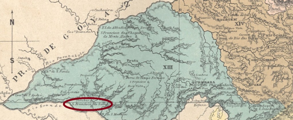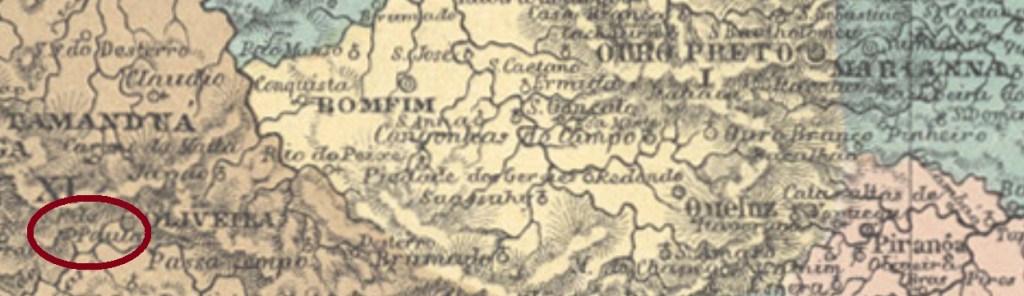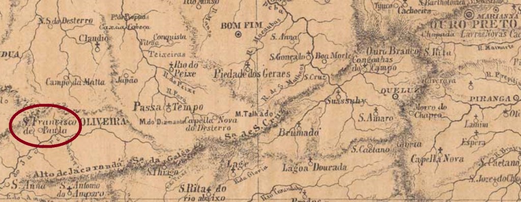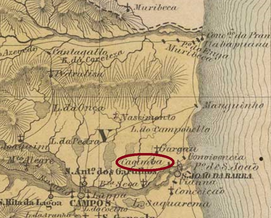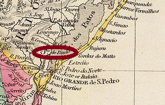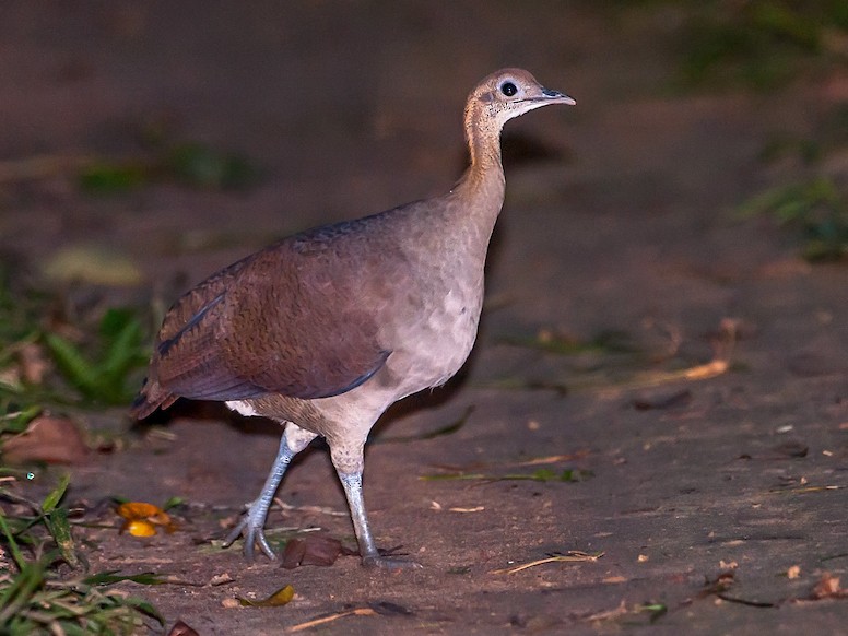
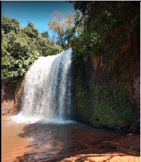
Macuco (Tinamus solitarius, Vieillot, 1819) is the solitary tinamou, a shy family member of the South American paleognath ground birds. After him, a creek was named in the province of São Paulo, the Ribeirão do Macuco, a tributary of the mighty Rio Paranapanema. In the 19th century, a hamlet with a chapel dedicated to St. Francis was created on the western bank of the Ribeirão, in the municipality of Rio Novo, over 300 km west of the provincial capital. The Portuguese word salto means both jump and waterfall. So this is not about bird jumps, but rather about a beautiful waterfall, which can still be admired today:

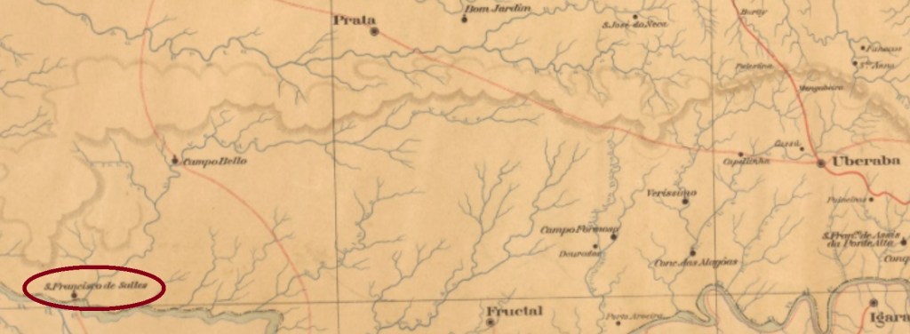
The place itself has not progressed, it has not become either a freguesia or a district. Today it is only a rural suburb of the town of Cerqueira César. Nobody knows why a post office was built there in March 1888:
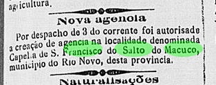
However, it is known that this beautiful place was located on the mail route between Avaré and Pirajú. Through the post office, the courier could stay there a little longer. But not for a long time: by 1900 the post office was already closed, probably due to lack of demand. A place stamp could be found: SSP-1805a (Coll. Mário Orsi Jr.) has a double circle with the inscriptions S. FRANCISCO DO SALTO DO MACUCO above and S. PAULO below. Both existing copies have dates of 1898 at the centre.
Der Macuco (Tinamus solitarius, Vieillot, 1819) ist der Grausteißtinamu, ein scheuer Vogel der Familie der Steißhühner, der in Südamerika zu Hause ist. Nach ihm wurde ein Bach in der Provinz São Paulo genannt, der Ribeirão do Macuco, ein Zufluss des mächtigen Rio Paranapanema. Am Westufer des Ribeirão entstand im 19. Jahnhundert ein Weiler mit einer dem Hl. Franz gewidmeten Kapelle, im Município von Rio Novo, über 300 km westlich der Provinzhauptstadt gelegen. Das portugiesische Wort Salto bedeutet sowohl Sprung als auch Wasserfall. Hier geht es also nicht um Vogelsprünge, sondern um einen schönen Wasserfall, den man heute noch bewundern kann:
Der Ort selber ist nicht vorangekommen, er wurde weder eine Freguesia noch ein Distrikt. Heute ist er lediglich ein ländlicher Vorort des Städtchens Cerqueira César. Niemand weiß, warum dort ein Postamt im März 1888 errichtet wurde:

Man weiß aber, dass dieser schöne Ort auf der Poststafettenstrecke zwischen Avaré und Pirajú lag. Durch das Postamt konnte die Stafette doch etwas länger dort bleiben. Aber nicht mehr lange: um 1900 war das Postamt bereits geschlossen, wohl aus Mangel an Nachfrage. Ein Ortsstempel konnte doch gefunden werden: SSP-1805a (Samml. Mário Orsi Jr.) hat einen Doppelkreis mit den Inschriften S. FRANCISCO DO SALTO DO MACUCO oben und S. PAULO unten. Beide vorhandenen Exemplare haben ein Datum vom Jahr 1898 in der Mitte.