See also Juquiá (R. Koester: Carimbologia XXV)
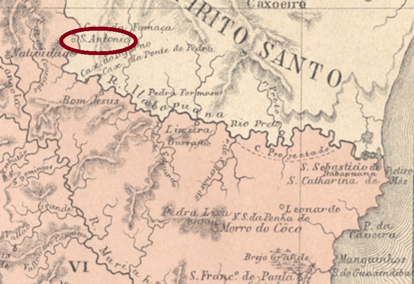
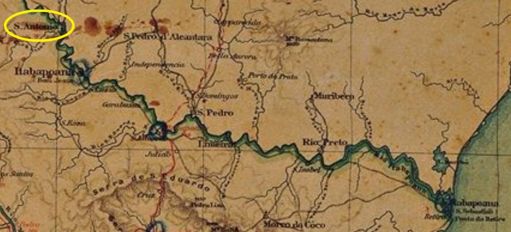
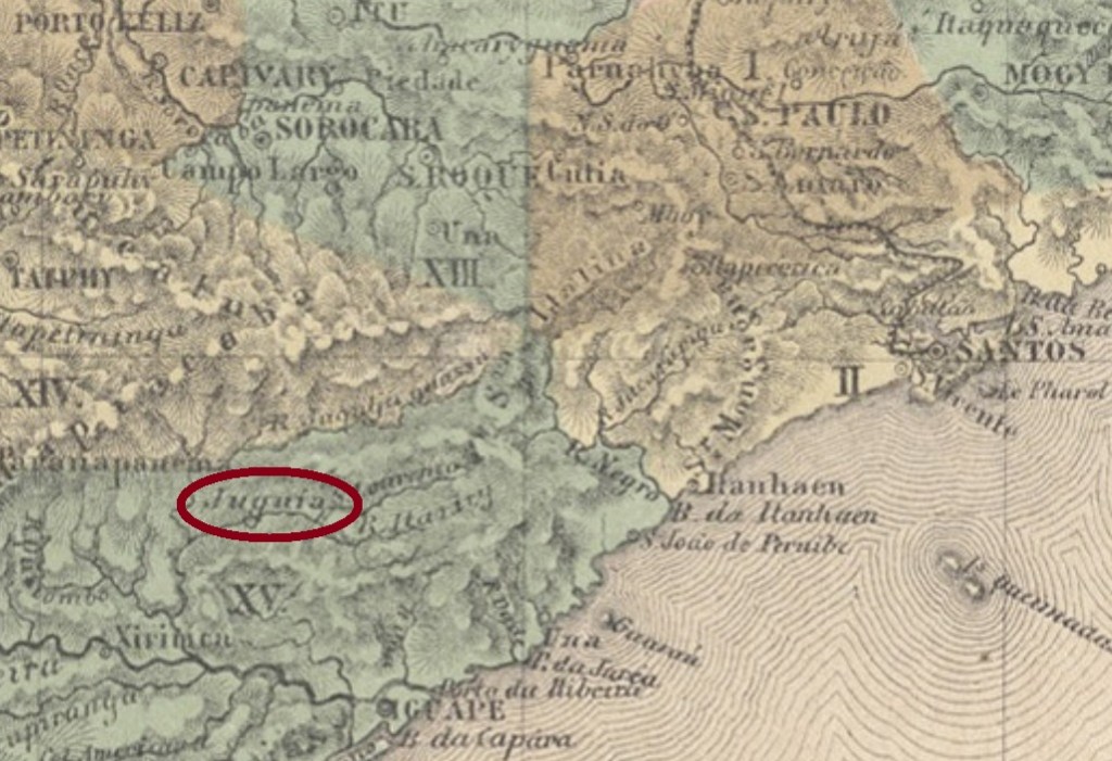
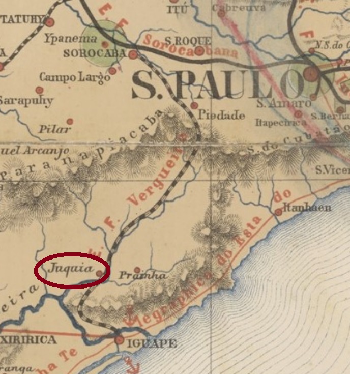
Santo Antonio do Juquiá was since April 1853 a freguesia in the municipality of Iguape, situated on the Juquiá River, over 150 km southwest of the province capital São Paulo. In November 1938 it switched to the municipality of Prainha and six years later, to Miracatu. Since December 1948 it is the municipality of Juquiá. This tupi-guarani word means allegedly dirty water.
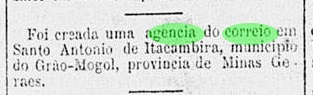
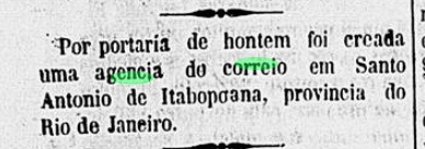
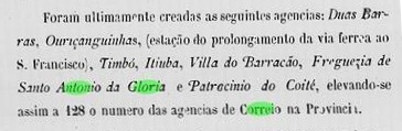
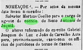
According to the Imperial Mail Register (Tabella das Agencias do Correio do Imperio) of 1885, the local post office was installed in 1881. By October a postal officer was already cited in the regional press:
No imperial cancel under the complete toponym has been found until now. For cancels featuring Juquiá see Koester’s Carimbologia XXV.
Siehe auch Juquiá (R. Koester: Carimbologia XXV)
Santo Antonio do Juquiá war ab April 1853 eine freguesia im Município von Iguape, die am Fluss Juquiá lag, über 150 km südwestlich der Provinzhauptstadt São Paulo entfernt. Im November 1938 wechselte die Zuständigkeit zu Prainha, und sechs Jahre später, zu Miracatu. Seit Dezember 1948 ist es der Município von Juquiá. Das Wort der Tupi-guarani-Sprache soll angeblich schmutziges Gewässer bedeuten.
Laut Verzeichnis der kaiserlichen Postämter (Tabella das Agencias do Correio do Imperio) von 1885 stammt das örtliche Postamt aus dem Jahr 1881. Im Oktober des Jahres wurde bereits ein Postangestellter durch die Regionalpresse vorgestellt:

Kein Poststempel der Kaiserzeit wurde unter dem vollständigen Ortsnamen bisher gefunden. Für Stempel mit der Legende Juquiá siehe Koesters Carimbologia XXV.