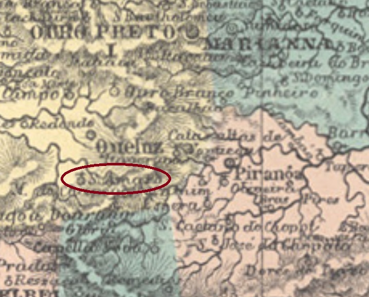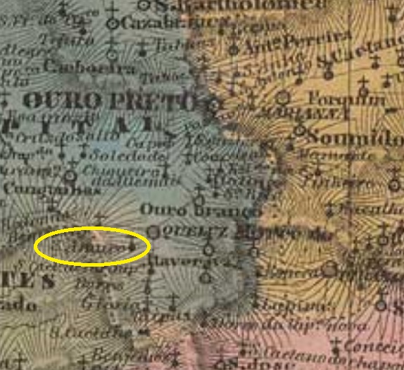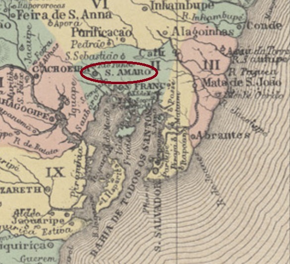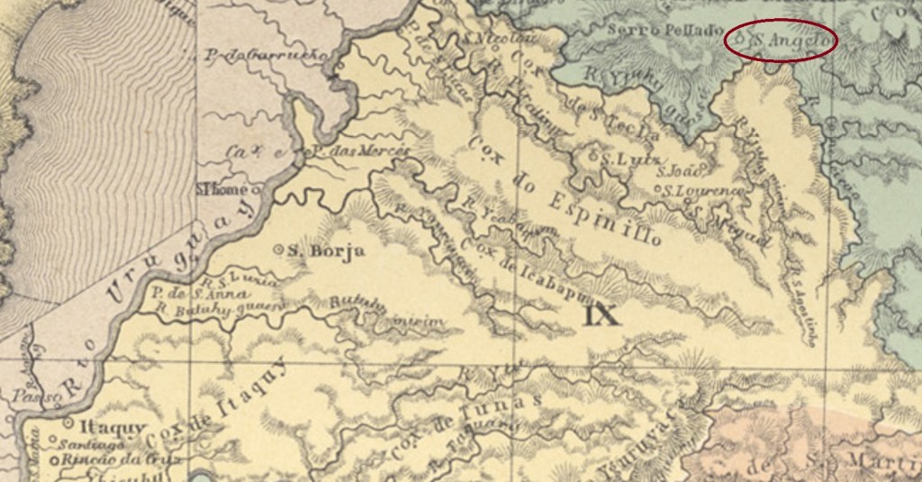
The territory of the villa of Santo Angelo was originally distributed between the muncipalities of Santa Cruz and São Borja, in the Mission region of the southern province São Pedro do Rio Grande, over 400 km northwest of the capital Porto Alegre. In March 1873 it ascended to a villa in own municipality.
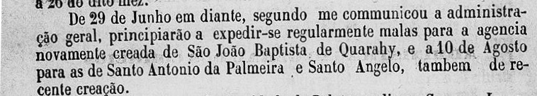
Two dates for the the local post office were found. According to the Imperial Mail Register (Tabella das Agencias do Correio do Imperio) of 1885 it was created already in 1877, but the Provincial President’s Report for 1879 (Relatório do Presidente da Provincia) asserts it began to operate only in August 1878:
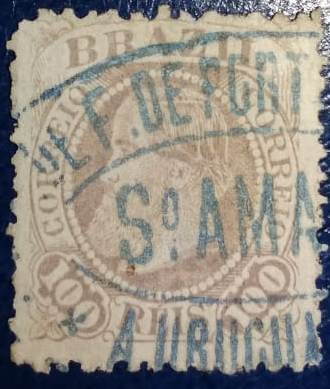
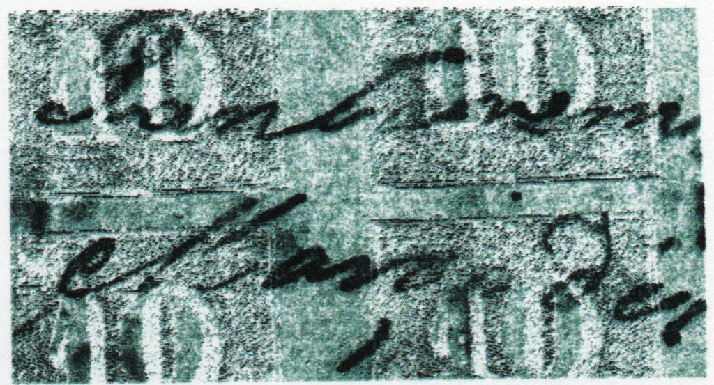
Three early cancels could be identified. SRS-0415a (Coll. José A. Junges) was used in the period 1881-1889 in black and blue. It has a double circle with the inscription S. ANGELO above and the date at the centre. The following cancels, SRS-0415b and SRS-0415c (both examples from the J.A. Junges collection), have the same features: a double circle with the inscriptions SANTO ANGELO above and (S. PEDRO DO SUL) below. with dates at the centre. In the former, used 1892, the letters are narrow/high and there are gaps between inscriptions, whereas in the latter of 1893 the letters are wide, without gap between inscriptions.
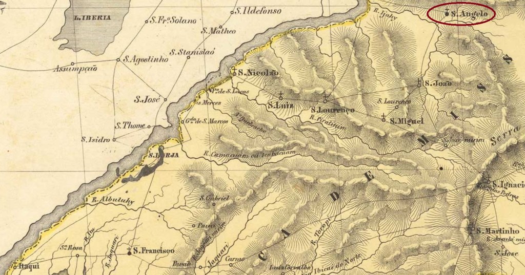
Das Gebiet der Villa von Santo Angelo war ursprünglich zwischen den Municípios von Santa Cruz und São Borja verteilt, in der Region der Missionen der südlichen Provinz São Pedro do Rio Grande, über 400 km nordwestlich der Hauptstadt Porto Alegre entfernt. Im März 1873 stieg Santo Angelo zur Villa im eigenen Município auf.
Zwei Daten fürs örtliche Postamt wurden ermittelt. Das Verzeichnis der kaiserlichen Postämter (Tabella das Agencias do Correio do Imperio) von 1885 listet es bereits ab 1877 auf, aber der Bericht des Provinzpräsidenten für 1879 (Relatório do Presidente da Provincia) besagt, das Postamt ging erst im August 1878 in Betrieb:

Drei frühe Stempel wurden gefunden. SRS-0415a (Samml. José A. Junges) war in schwarz und blau zwischens 1881 und 1889 im Umlauf. Hier haben wir einen Doppelkreis mit der Inschrift S. ANGELO oben und dem Datum in der Mitte. Die folgenden Abstempelungen, SRS-0415b und SRS-0415c (beide Exemplare aus der Samml. J.A. Junges), haben die gleichen Merkmale: ein Doppelkreis mit den Inschriften SANTO ANGELO oben und (S. PEDRO DO SUL) unten, dazu Daten in der Mitte. Beim ersten Stempel, aus dem Jahr 1892, sind die Buchstaben eher schmal und hoch, und es gibt Leerräume zwischen den Inschriften, während beim zweiten, aus 1893, die Buchstaben sind breit, die Leerräume zwischen Inschriften sind nicht mehr da.