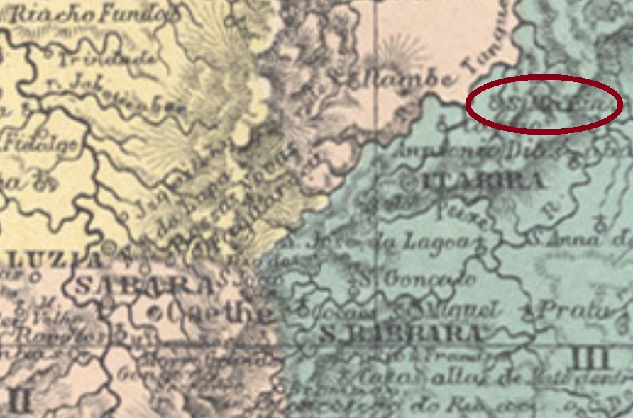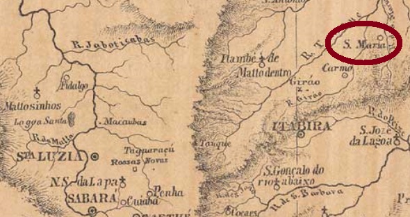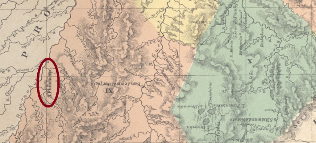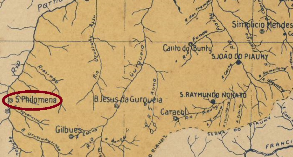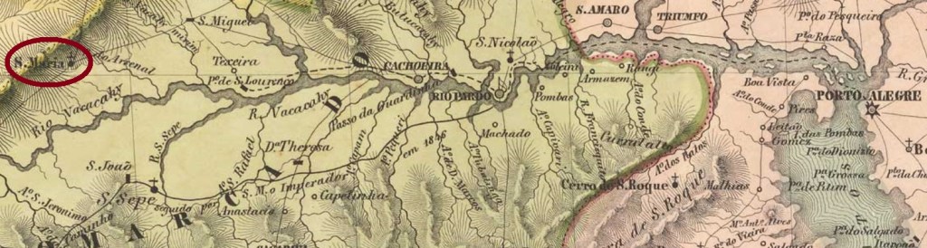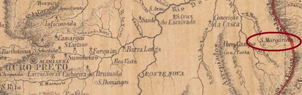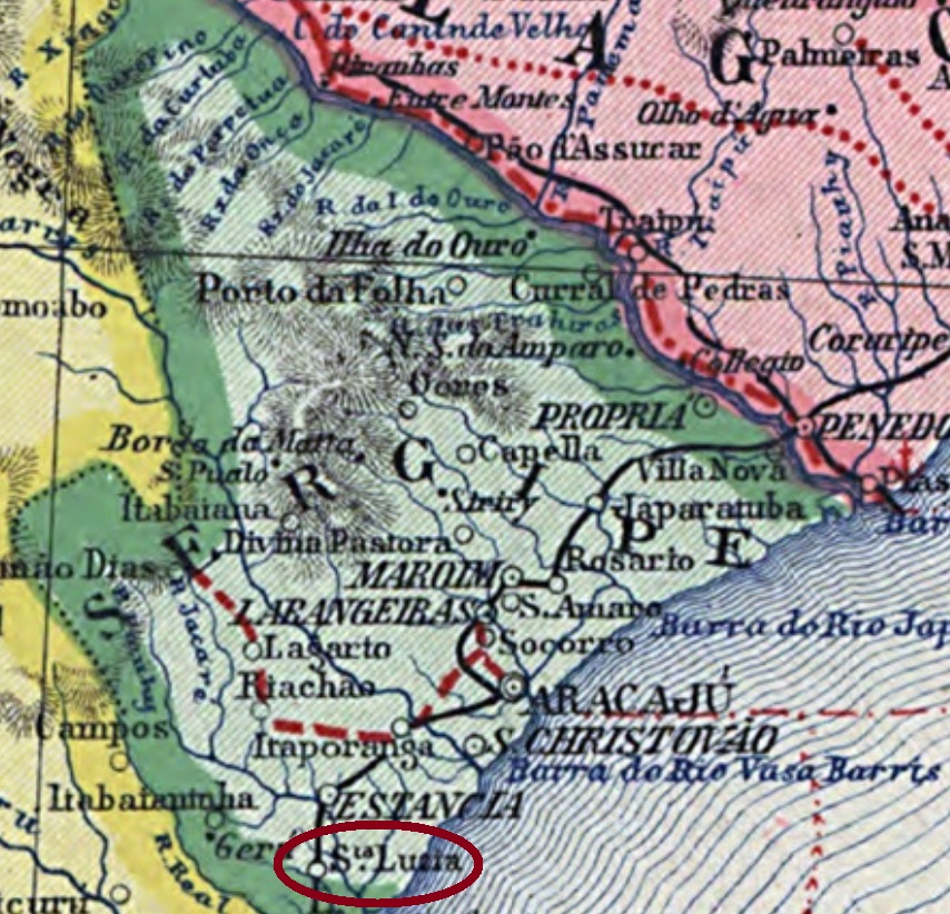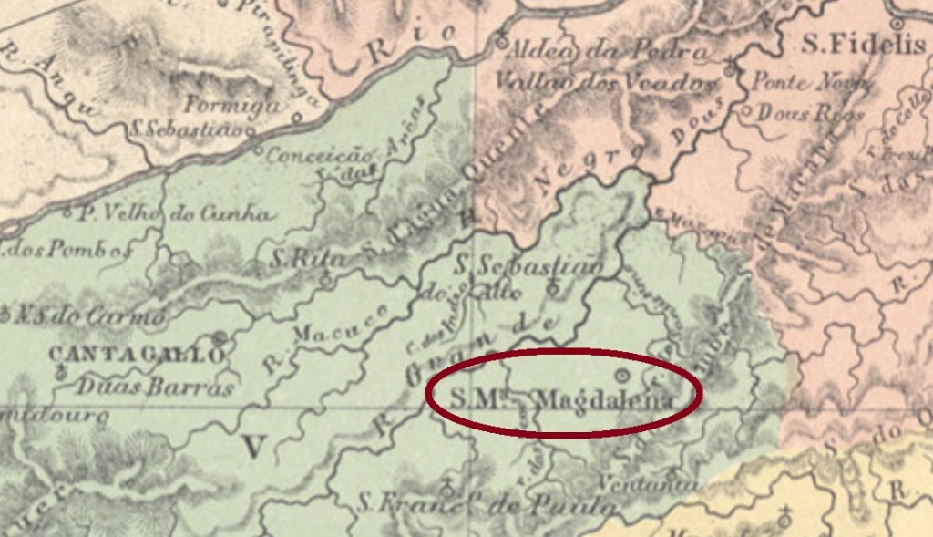
The freguesia of Santa Maria Magdalena was founded in September 1855 in the municipality of Cantagallo, round 250 km northeast of the imperial capital Rio de Janeiro. In October 1861 it emancipated as a villa, and since July 1890 it is a town.
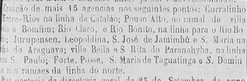
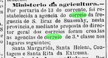
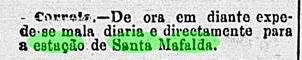
According to Nova Monteiro (Administrações e Agencias Postaes do Brasil Imperio, in Brasil Filatelico/RJ, 1934-5; Reprint SPP 1994-1999), the local post office was created in October 1855. Aureo G. Santos (Agências de Correio Criadas e Suprimidas 1851,1855,1856 e 1857, in Brasil Filatélico 181, Rio de Janeiro) provides us the creation text:

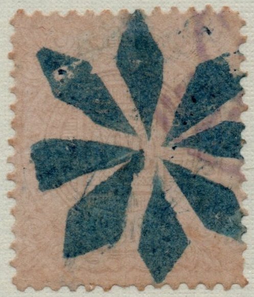
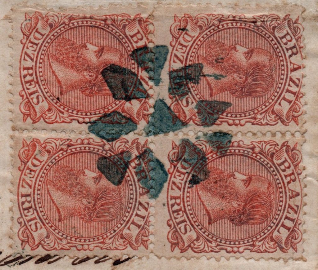
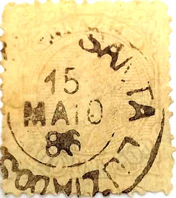
The first postal cancel is a well known one, already presented by Paulo Ayres (Catálogo de Carimbos Brasil-Império, S. Paulo, 1937, 1942) under #1471. SRJ-0880a occurs in black and blue and was used until ca. 1876:

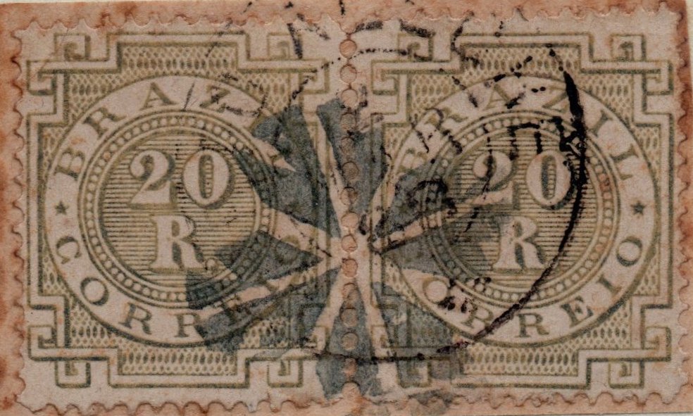
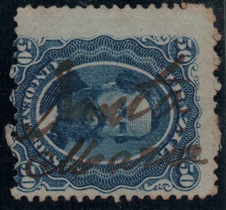
It was followed by SRJ-0880b (Coll. José A. Junges): a double circle with the inscription S. M. MAGDALENA, also in black and blue, whose inner dates show years between 1877 and 1894.
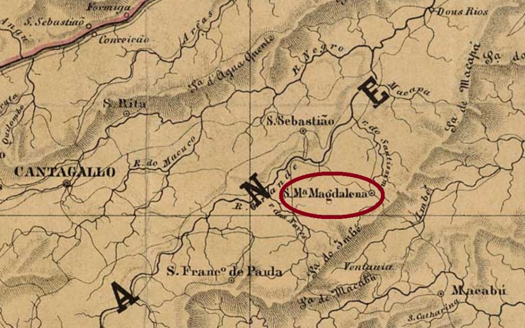
Die Freguesia von Santa Maria Magdalena wurde im September 1855 im Município von Cantagallo gegründet und lag rund 250 km nordöstlich der kaiserlichen Hauptstadt Rio de Janeiro entfernt. Im Oktober 1861 wurde sie eine eigenständige Villa, und seit Juli 1890 ist sie eine Stadt.
Laut Nova Monteiro (Administrações e Agencias Postaes do Brasil Imperio, in Brasil Filatelico/RJ, 1934-5; Reprint SPP 1994-1999) entstand das örtliche Postamt im Oktober 1855. Aureo G. Santos (Agências de Correio Criadas e Suprimidas 1851,1855,1856 e 1857, in Brasil Filatélico 181, Rio de Janeiro) liefert uns den Originaltext dazu:

Der erste Poststempel ist ein alter Bekannter, bereits durch Paulo Ayres (Catálogo de Carimbos Brasil-Império, S. Paulo, 1937, 1942) unter Nr. 1471 vorgestellt. SRJ-0880a kommt in schwarz und blau vor und wurde bis ca. 1876 benutzt:

Ihm folgte SRJ-0880b (Samml. José A. Junges): ein Doppelkreis mit der Inschrift S. M. MAGDALENA, auch in schwarz und blau zu finden, dessen Daten in der Mitte aus dem Zeitraum 1877-1894 kommen.