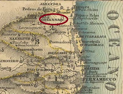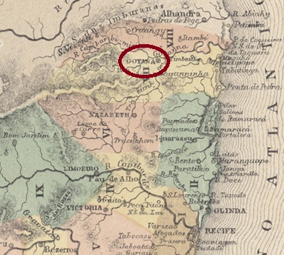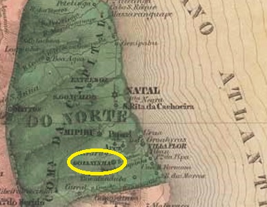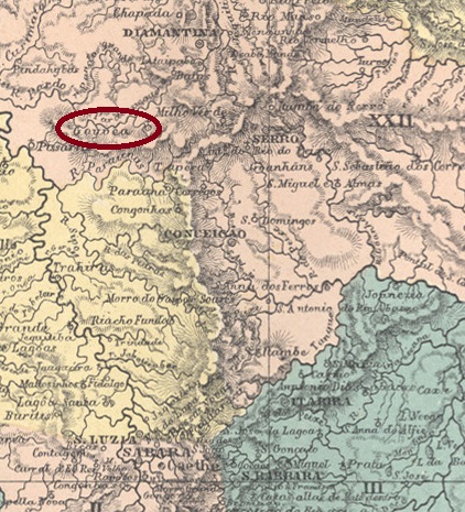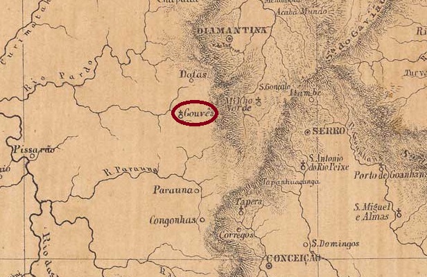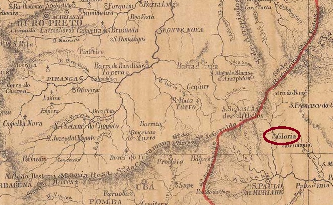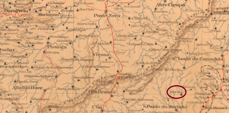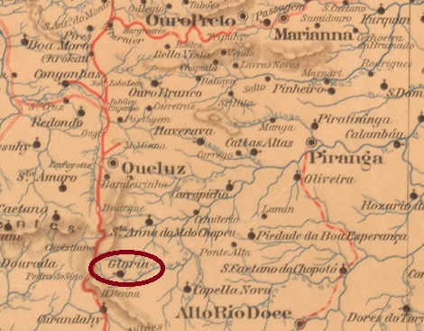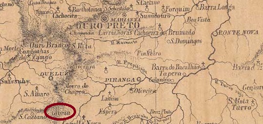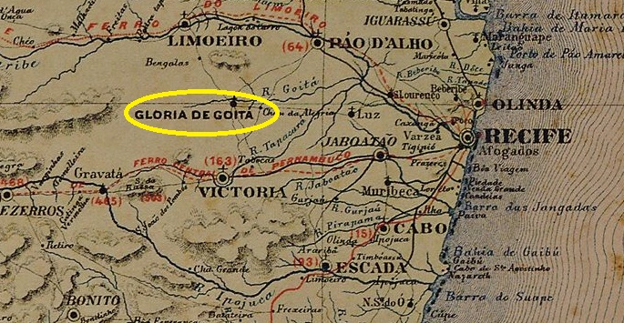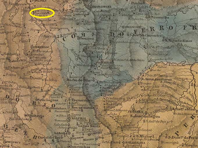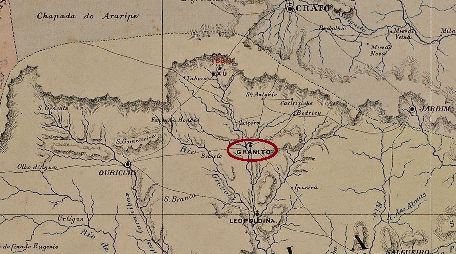
The chapel N. Sra. do Bom Conselho de Granito, built in 1859, belonged to the Vila de Exú and was located on the west bank of the Riacho da Brígida, 590 kilometres west of the provincial capital Recife. In April 1863 Granito became a Vila and in July 1909 a town. In March 1938, Granito was downgraded to a district of the Município de Bodocó, but regained the status of a Município in December 1963.
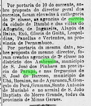
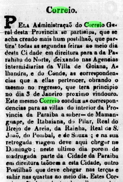
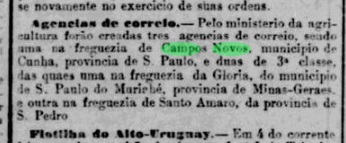
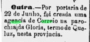
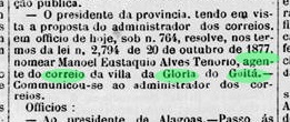
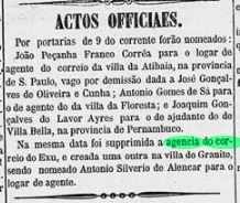
As Nova Monteiro writes in Administrações e Agencias Postaes do Brasil Imperio (Brasil Filatelico/RJ, 1934-5; reprint SPP 1994-1999), there had been a post office there since June 1865, a statement confirmed by the press in Rio with the comment that it was the transfer of the post office from Exu to Granito at that time:
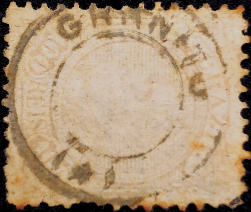
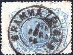
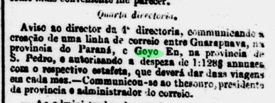
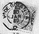
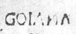
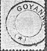
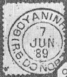
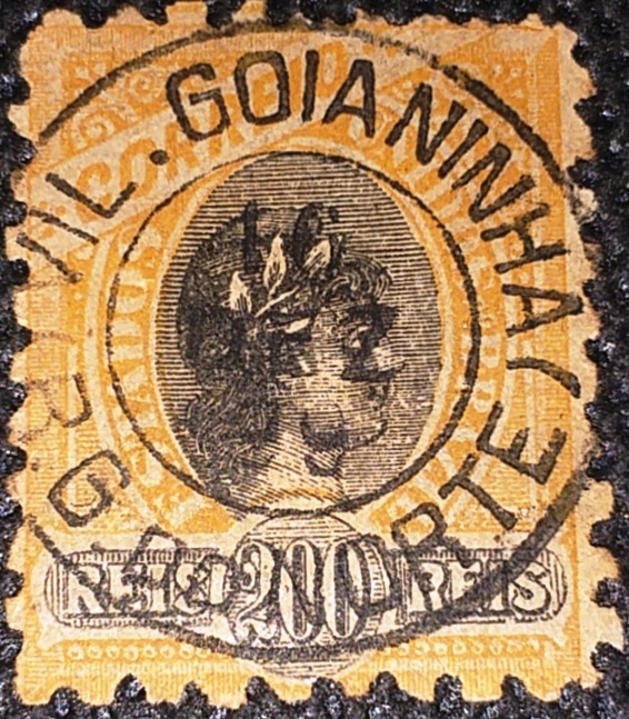
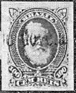
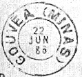
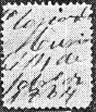
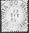
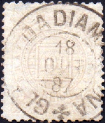
The oldest postmark to date is probably not the first: GPE-0295b (fig. Roberto Assef Jr.) was first found on D. Pedro of 1883:

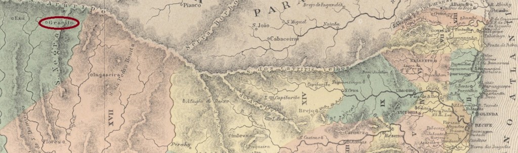
Die 1859 erbaute Kapelle N. Sra. do Bom Conselho de Granito gehörte zur Vila de Exú und lag am Westufer des Riacho da Brígida, 590 km westlich der Provinzhauptstadt Recife. Im April 1863 wurde Granito zur Vila und im Juli 1909 zur Stadt erhoben. Im März 1938 wurde Granito zum Distrikt des Município de Bodocó herabgestuft, erhielt aber im Dezember 1963 wieder den Status eines Município.
Wie Nova Monteiro in Administrações e Agencias Postaes do Brasil Imperio (Brasil Filatelico/RJ, 1934-5; Reprint SPP 1994-1999) schreibt, gab es dort seit Juni 1865 ein Postamt, eine Angabe, die von der Presse in Rio mit dem Hinweis bestätigt wird, dass es sich damals um die Verlegung des Postamtes von Exu nach Granito handelte:

Der bisher älteste Stempel ist wahrscheinlich nicht der erste: GPE-0295b (Abb. Roberto Assef Jr.) wurde erst auf D. Pedro von 1883 gefunden: