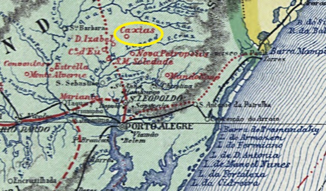
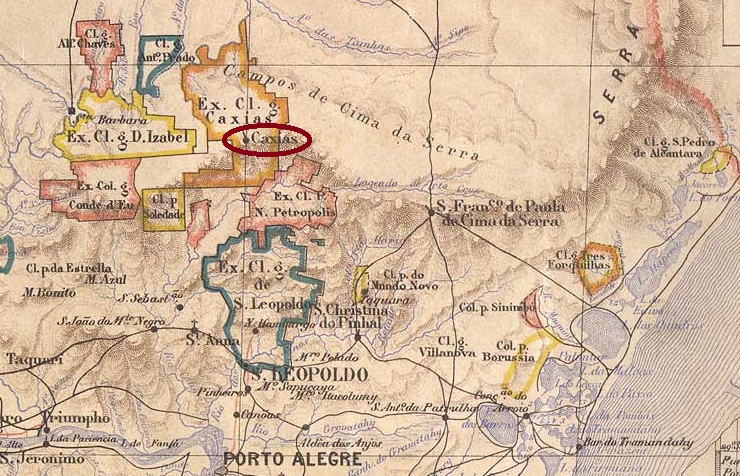
Other names: Campo dos Bugres, Caxias do Sul (1944)
The Italian colony located 150 kilometres north of the provincial capital Porto Alegre was initially given the unflattering name Campo dos Bugres (Indian field) in 1875. Two years later, it was renamed Caxias in honour of Luiz Alves de Lima e Silva, Duke of Caxias (1803-1880), who became a national hero of Brazil as a officer and provincial administrator. In April 1884, the town became the Freguesia de Sta. Thereza de Caxias, in June 1890 a Vila and twenty years later a city, which has been called Caxias do Sul since December 1944 to avoid confusion with the city of the same name in Maranhão.
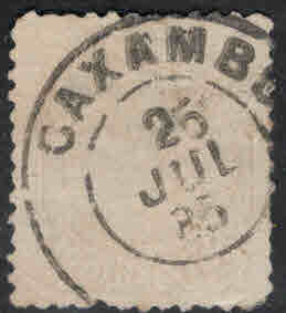
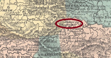
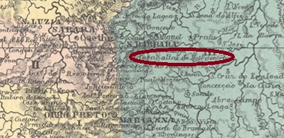
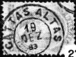
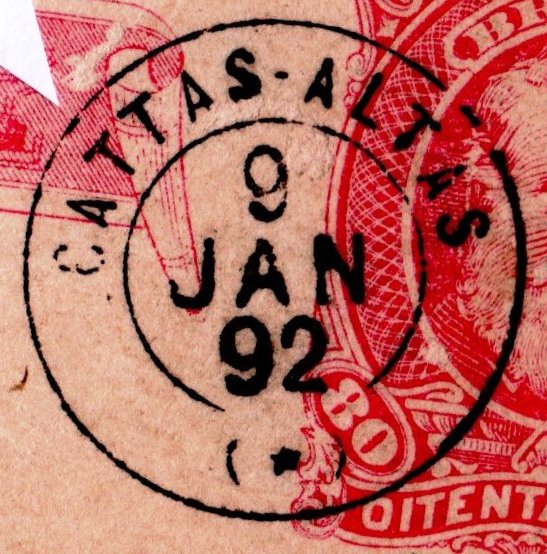
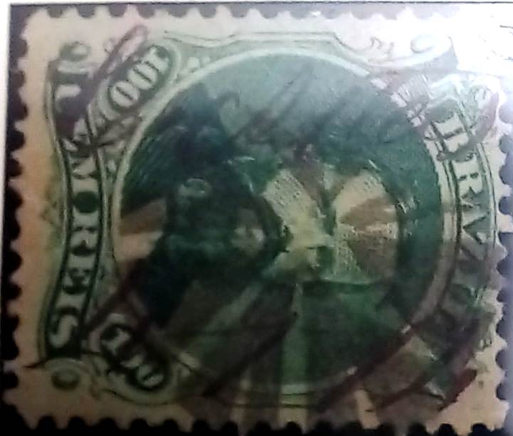
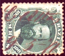
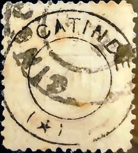
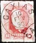
As can be seen from the list of imperial post offices (Tabella das Agencias do Correio do Imperio, Rio de Janeiro, 1885), there had been a post office there since 1881. The oldest postmark is CRS-0090a (Fig. Rölli Auctions), which has so far been found with dates from 1885 to 1893:
The Catalogo Enciclopedico RHM (S. Paulo, 1999) also mentions a postmark (French type) from Caxias in the province of Rio Grande do Sul, but this has not yet been definitively confirmed.
Andere Namen: Campo dos Bugres, Caxias do Sul (1944)
Die 150 km nördlich der Provinzhauptstadt Porto Alegre gelegene italienische Kolonie erhielt 1875 zunächst den wenig schmeichelhaften Namen Campo dos Bugres (Indianerfeld). Zwei Jahre später wurde sie in Caxias umbenannt, zu Ehren von Luiz Alves de Lima e Silva, Herzog von Caxias (1803-1880), der als Feldherr und Provinzverwalter zu einem Nationalhelden Brasiliens wurde. Im April 1884 wurde der Ort zur Freguesia de Sta. Thereza de Caxias, im Juni 1890 zur Vila und zwanzig Jahre später zur Stadt, die seit Dezember 1944 Caxias do Sul heißt, um Verwechslungen mit der gleichnamigen Stadt in Maranhão zu vermeiden.
Wie aus dem Verzeichnis der kaiserlichen Postämter (Tabella das Agencias do Correio do Imperio, Rio de Janeiro, 1885) hervorgeht, gab es dort seit 1881 ein Postamt. Der älteste Poststempel ist CRS-0090a (Abb. Rölli-Auktionen), der bisher mit Daten von 1885 bis 1893 gefunden wurde:

Im Catalogo Enciclopedico RHM (S. Paulo, 1999) wird auch ein Poststempel (französischer Typ) aus Caxias in der Provinz Rio Grande do Sul erwähnt, der aber noch nicht endgültig bestätigt werden konnte.