Text updated on August 10, 2024
Other names: Pambu, Bom Jesus da Boa Morte, Curaçá (1890)
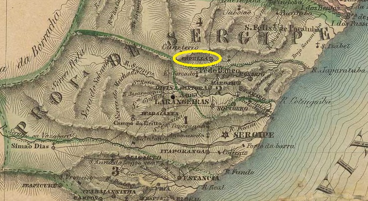
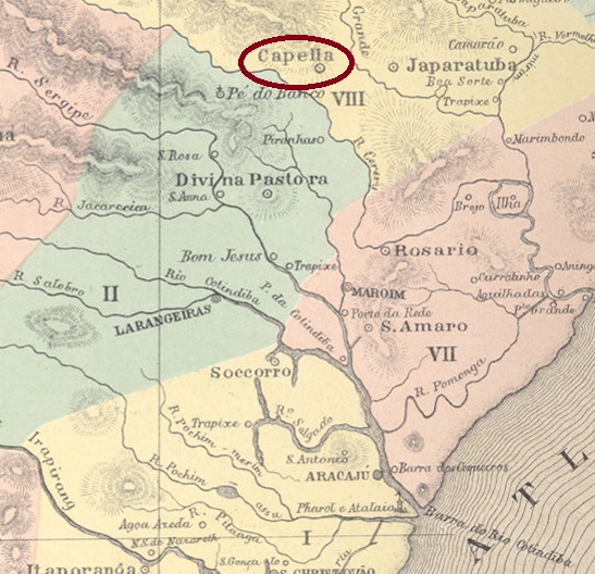
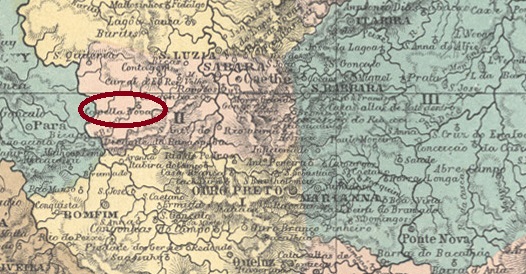
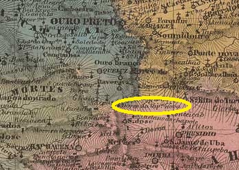
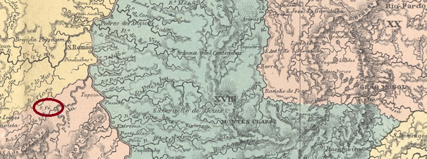
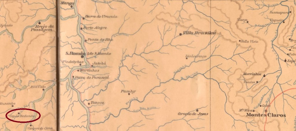
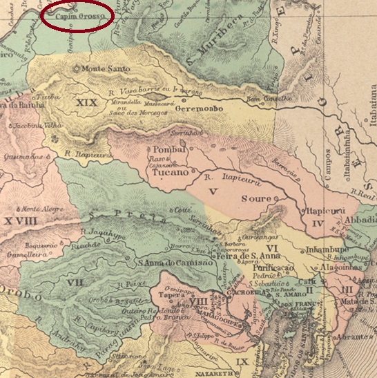
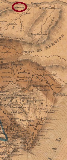
Here we have another place with a complicated history, as it has been moved and renamed. As early as 1714 there was a Freguesia de Sto. Antonio do Pambu on the south bank of S. Francisco, which belonged to the Vila de Joazeiro and was itself elevated to a Vila in June 1832. However, this was transferred to the former Freguesia de Bom Jesus da Boa Morte (Good Jesus of the Blessed Death) in June 1853 and was named Vila de Capim Grosso. It was still located on the São Francisco, 550 km northwest of the provincial capital Salvador da Bahia, and was elevated to a town in August 1890, now under the place name Curaçá.
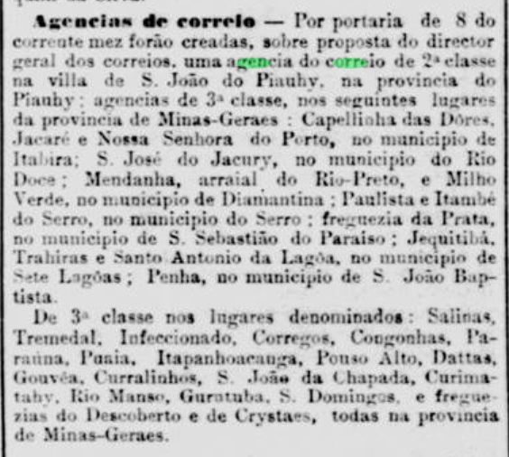
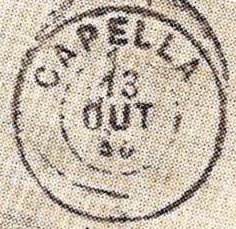
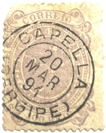
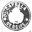
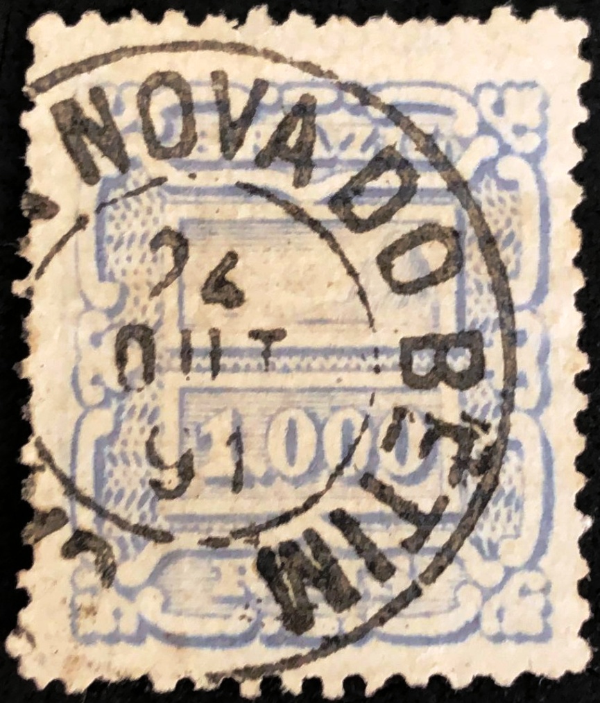
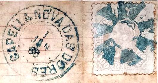
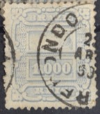
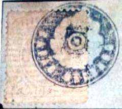
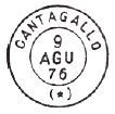
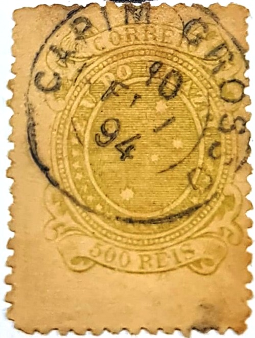
Nova Monteiro writes in Administrações e Agencias Postaes do Brasil Imperio (Brasil Filatelico/RJ, 1934-5; Reprint SPP 1994-1999) that there was a post office there since September 1866. R. Koester gives a date for this in Carimbologia IX that is exactly one year earlier, which could be a printing or reading error. The oldest postmark from Capim Grosso to date is CBA-0245b (fig. Felipe Piccinini):
Textaktualisierung am 10. August 2024
Andere Namen: Pambu, Bom Jesus da Boa Morte, Curaçá (1890)
Hier haben wir wieder einen Ort mit komplizierter Geschichte, da er verlegt und umbenannt wurde. Bereits 1714 gab es eine Freguesia de Sto. Antonio do Pambu am Südufer des S. Francisco, die zur Vila de Joazeiro gehörte und im Juni 1832 selbst zur Vila erhoben wurde. Diese wurde jedoch im Juni 1853 in die ehemalige Freguesia de Bom Jesus da Boa Morte (Guter Jesus vom Seligen Tod) verlegt und erhielt den Namen Vila de Capim Grosso. Sie lag immer noch am São Francisco, 550 km nordwestlich der Provinzhauptstadt Salvador da Bahia, und wurde im August 1890 zur Stadt erhoben, nun unter dem Ortsnamen Curaçá.
Nova Monteiro schreibt in Administrações e Agencias Postaes do Brasil Imperio (Brasil Filatelico/RJ, 1934-5; Reprint SPP 1994-1999), dass es dort seit September 1866 ein Postamt gab. R. Koester gibt dafür ein Datum in Carimbologia IX an, das genau ein Jahr früher liegt, was ein Druck- oder Lesefehler sein könnte. Der bisher älteste Poststempel aus Capim Grosso ist CBA-0245b (Abb. Felipe Piccinini):