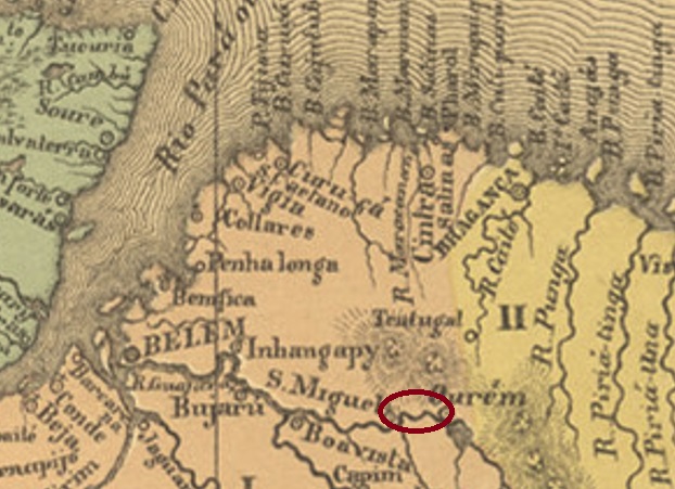
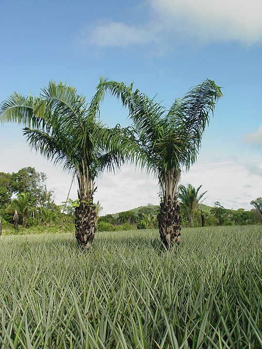
The settlement of Urucuryteua belonged to the Vila of São Miguel do Guamá since October 1870 and was located 180 km east of the provincial capital Belém do Pará. In March 1930, the place – which today is spelled Urucuriteua – became a district. And so, it has remained to this day. The Indian word urucury, or ouricuri, refers to several palm varieties of the Arecaceae family.

A post office in Urucuryteua is mentioned in a postal transport contract published in the official press in January 1878:
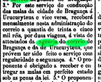
Since this agency was not mentioned anywhere else, one can assume that it had a very short life, if it started operating at all.
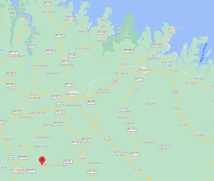
Die Siedlung Urucuryteua gehörte seit Oktober 1870 der Vila von São Miguel do Guamá und lag 180 km östlich der Provinzhauptstadt Belém do Pará. Im März 1930 wurde der Ort – der sich heute Urucuriteua schreibt – zum Distrikt. Uns so ist es bis heute geblieben. Das indianische Wort Urucury, oder Ouricuri, bezeichnet mehrere Palmensorten der Familie Arecaceae.
Ein Postamt im Urucuryteua wird in einem offiziellen Postbeförderungsvertrag erwähnt, der in der Amtspresse im Januar 1878 veröffentlicht wurde:

Da diese Agentur sonst nirgends überliefert ist, kann man annehmen, dass sie ein sehr kurzes Leben hatte, wenn sie den Betrieb überhaupt aufgenommen hat.
