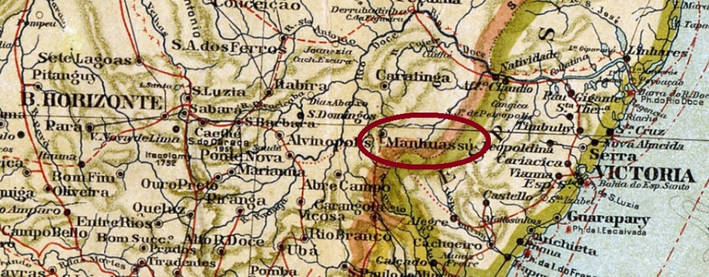
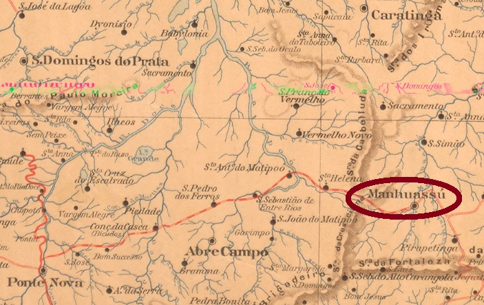
Another name: Manhuassú (1881)
See also Manhuassú (R. Koester: Carimbologia XXVII)
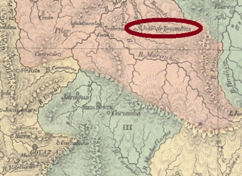
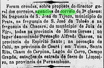
From November 1875 this was a freguesia of Ponte Nova, which was located about 200 east of the provincial capital Ouro Preto. In November 1877, it was transferred as a district to the municipality of São Simão, and in January 1880 it became the administrative headquarters. Since September 1881, it has been the town of Manhuassú (now written Manhuaçu). The Manhuaçu is a tributary of the Rio Doce; its Indian name means Big Rain.
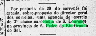
As Paula Sobrinho writes in Historia Postal de Minas Gerais (Belo Horizonte, 1997), the local post office was created in September 1880. The postmark of the Imperial period is the double circle SMG-2505a (Coll. José A. Junges): the inscription above is S. LOURENÇO DO MANHUASSÚ. There is an ornament in diamond below, the four sides of which are open. Dates inside from 1885 to 1889.
Anderer Name: Manhuassú (1881)
Siehe auch Manhuassu (R. Koester: Carimbologia XXVII)
Diese war ab November 1875 eine Freguesia von Ponte Nova, die gut 200 östlich der Provinzhauptstadt Ouro Preto entfernt lag. Im November 1877 ging sie als Distrikt zum Município von São Simão über und wurde im Januar 1880 Verwaltungshauptsitz. Seit September 1881 ist es die Stadt Manhuassú (heute Manhuaçu geschrieben). Der Manhuaçu ist ein Zufluss des Rio Doce; sein indianischer Name bedeutet Große Regen.
Wie Paula Sobrinho in História Postal de Minas Gerais (Belo Horizonte, 1997) schreibt, entstand das Postamt im September 1880. Der Poststempel der Kaiserzeit ist der Doppelkreis SMG-2505a (Samml. José A. Junges): die Inschrift oben lautet S. LOURENÇO DO MANHUASSÚ. Unten steht ein Ornament in Raute, deren vier Seiten offen sind. Daten im Inneren von 1885 bis 1889.