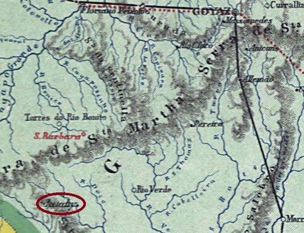
Other names: Trindade, Barra do Jequitibá
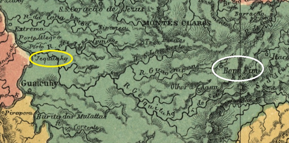
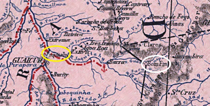
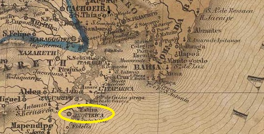
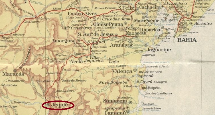
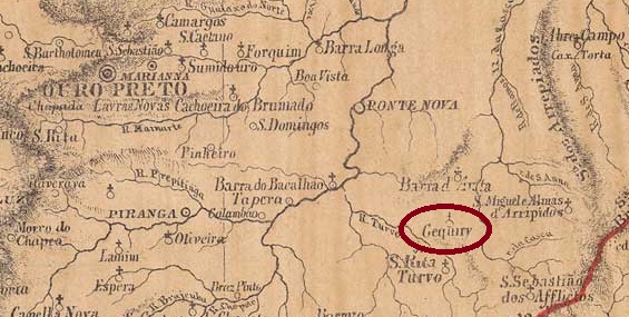
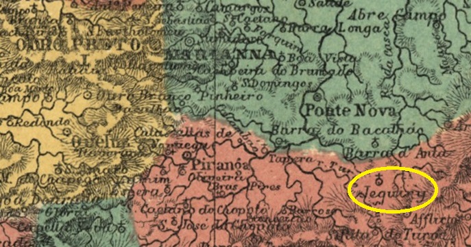
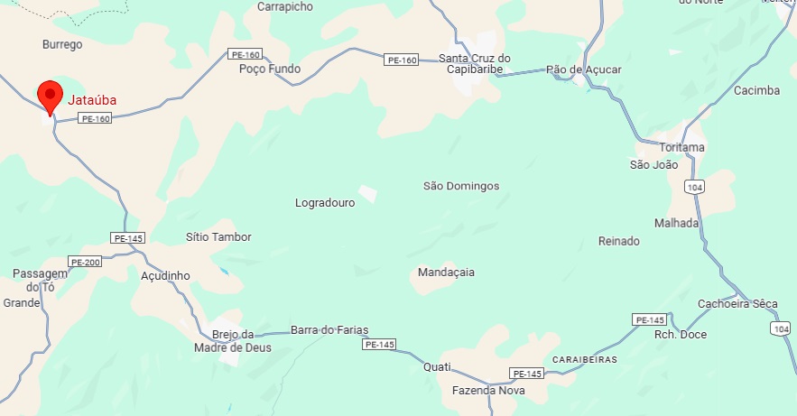
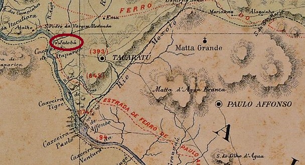
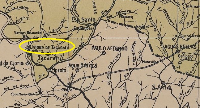
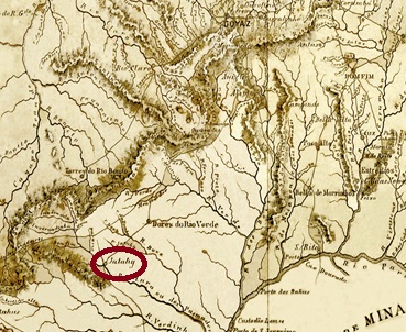
The Arraial de Trindade had existed since December 1849, belonged to the Vila de Sabará and was located at the mouth of the Jequitibá into the Rio das Velhas, 200 kilometres northwest of the provincial capital Ouro Preto. In May 1856 Jequitibá became a Distrito, now subordinate to the Vila de Sete Lagoas, and in June 1858 the Freguesia de Santíssimo Sacramento da Barra do Jequitibá. Jequitibá has been an independent município since December 1948.
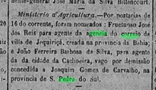
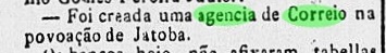
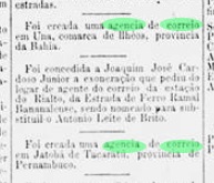
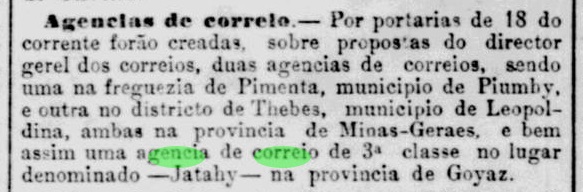
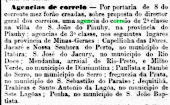
Paula Sobrinho (História Postal de Minas Gerais, Belo Horizonte, 1997) and R. Koester (Carimbologia XXV) agree that there has been a post office there since November 1881. This is confirmed by the press in Rio:
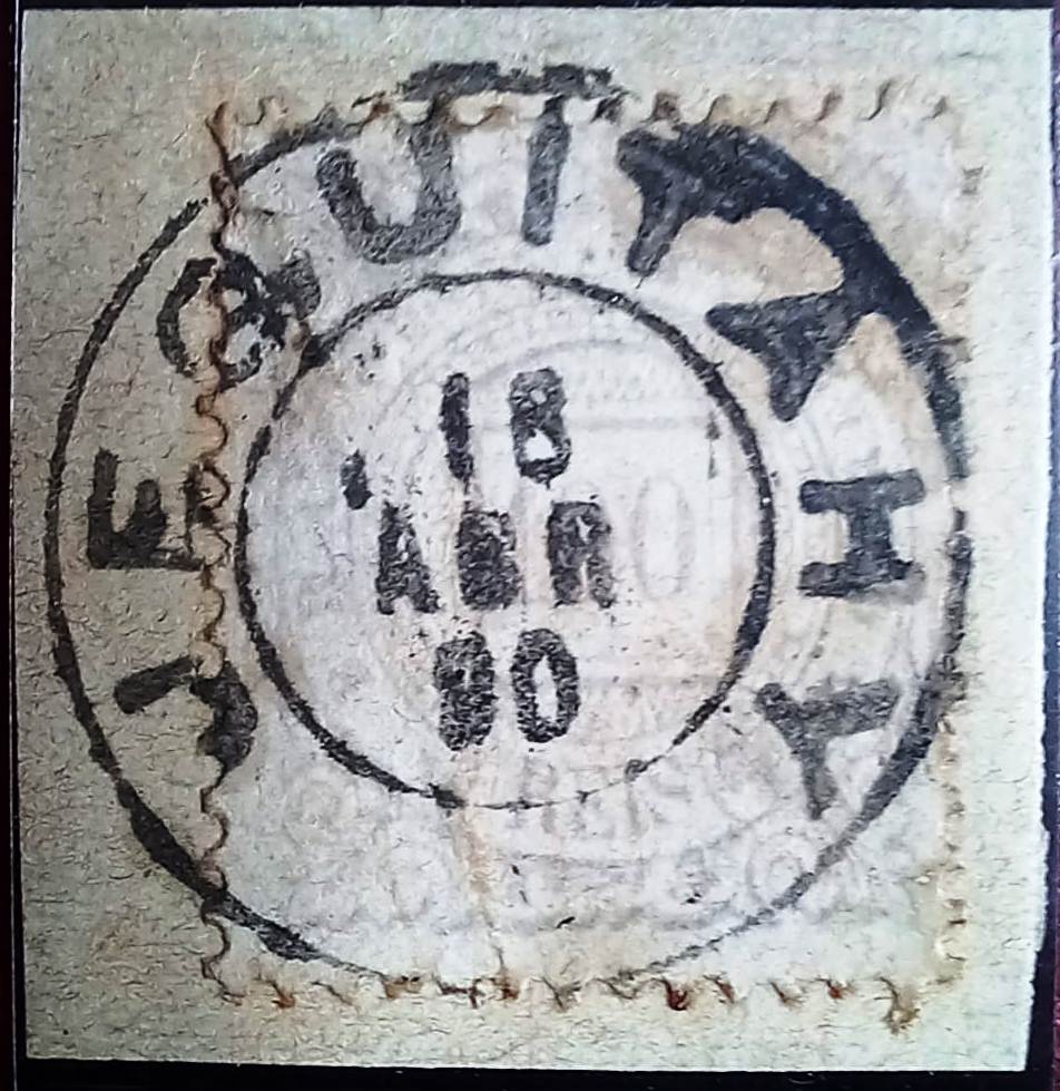
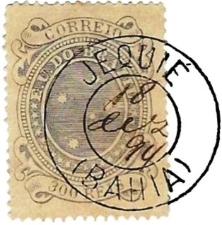
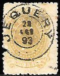
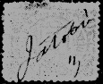
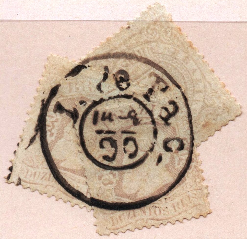
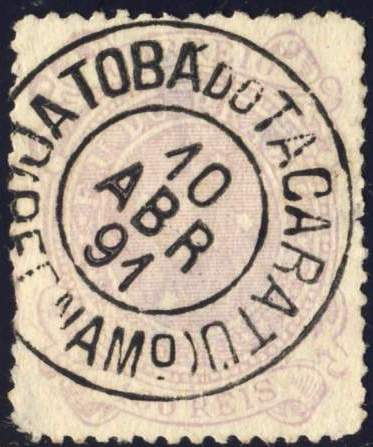
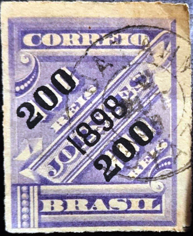
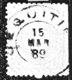
The imperial postmark is JMG-1430a (fig. Koester, op. cit.):

Andere Namen: Trindade, Barra do Jequitibá
Der Arraial de Trindade bestand seit Dezember 1849, gehörte zur Vila de Sabará und lag an der Mündung des Jequitibá in den Rio das Velhas, 200 km nordwestlich der Provinzhauptstadt Ouro Preto. Im Mai 1856 wurde Jequitibá ein Distrito, nun der Vila de Sete Lagoas untergeordnet, im Juni 1858 die Freguesia de Santíssimo Sacramento da Barra do Jequitibá. Seit Dezember 1948 ist Jequitibá ein eigenständiges Município.
Paula Sobrinho (História Postal de Minas Gerais, Belo Horizonte, 1997) und R. Koester (Carimbologia XXV) sind sich einig, dass es dort seit November 1881 ein Postamt gab. Dies wird von der Presse in Rio bestätigt:

Der kaiserliche Poststempel ist JMG-1430a (Abb. Koester, op. cit.):