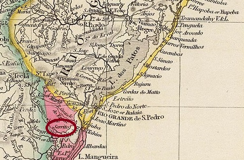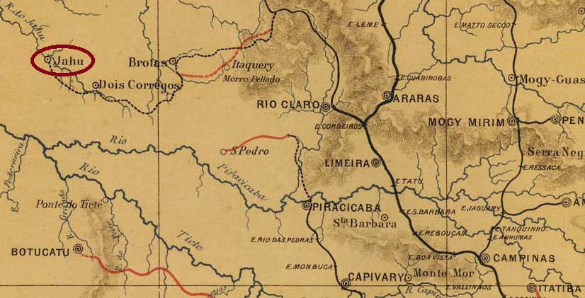
Other spelling: Juhu
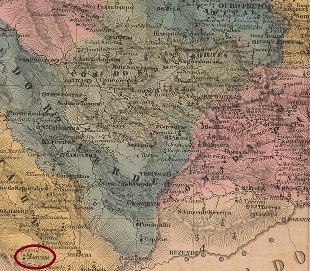
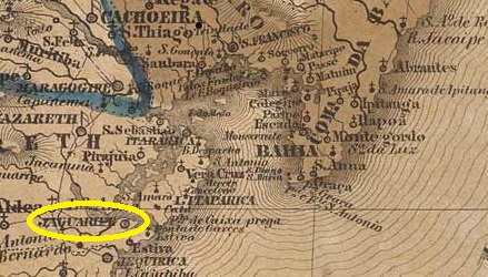
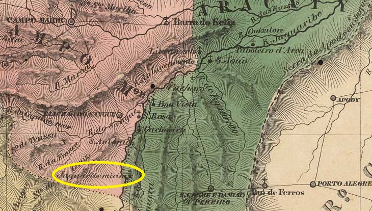
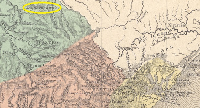
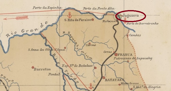
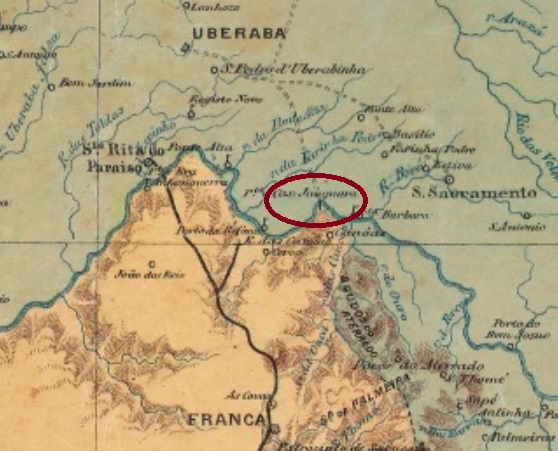
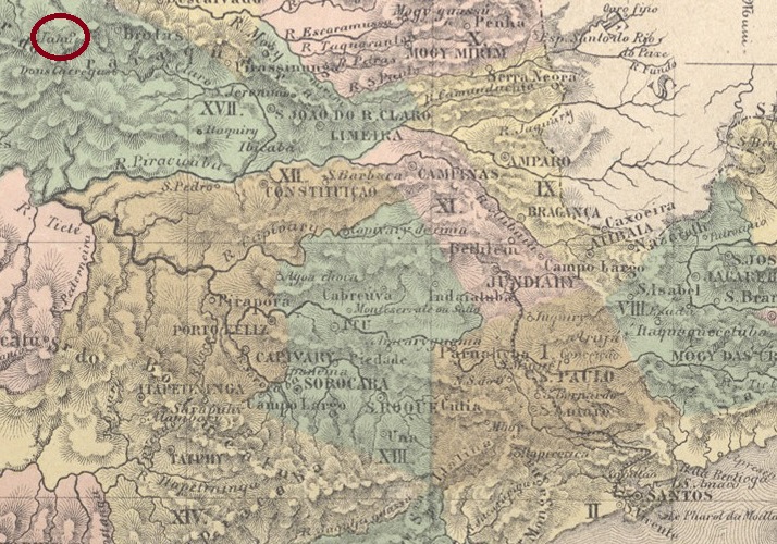
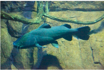
In March 1859, the Freguesia de N. Sra. do Patrocínio do Jahu was founded on the south bank of the Jaú in the Vila de Brotas, 300 kilometres northwest of the provincial capital of São Paulo. It was declared a vila in April 1866 and a town in February 1889. The indigenous name refers to a large catfish from the Pimelodidae family:

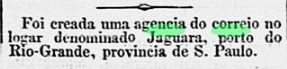
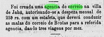
According to the São Paulo press, in December 1867 it was decided to set up a post office in the Vila:
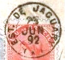
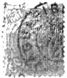
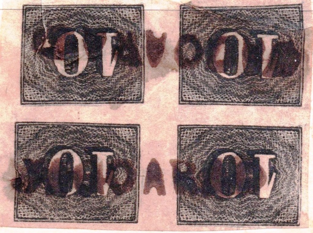
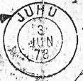
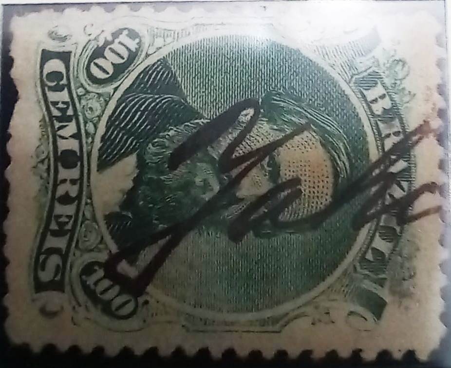
The first postmark was probably not delivered on time, as early hand cancellations are known:

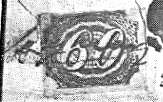
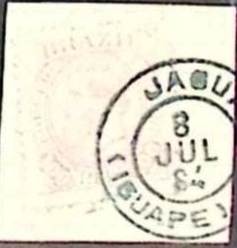
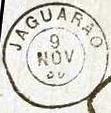
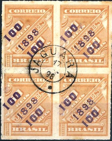
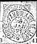
The beautiful double circle JSP-0705a (fig. Mário Celso Orsi Jr.), which is also available in blue and green, did not appear until the 70s:
Shortly afterwards, JSP-0705b also appeared, with the incorrect spelling JUHU (fig. R. Koester, in Carimbologia XXV):
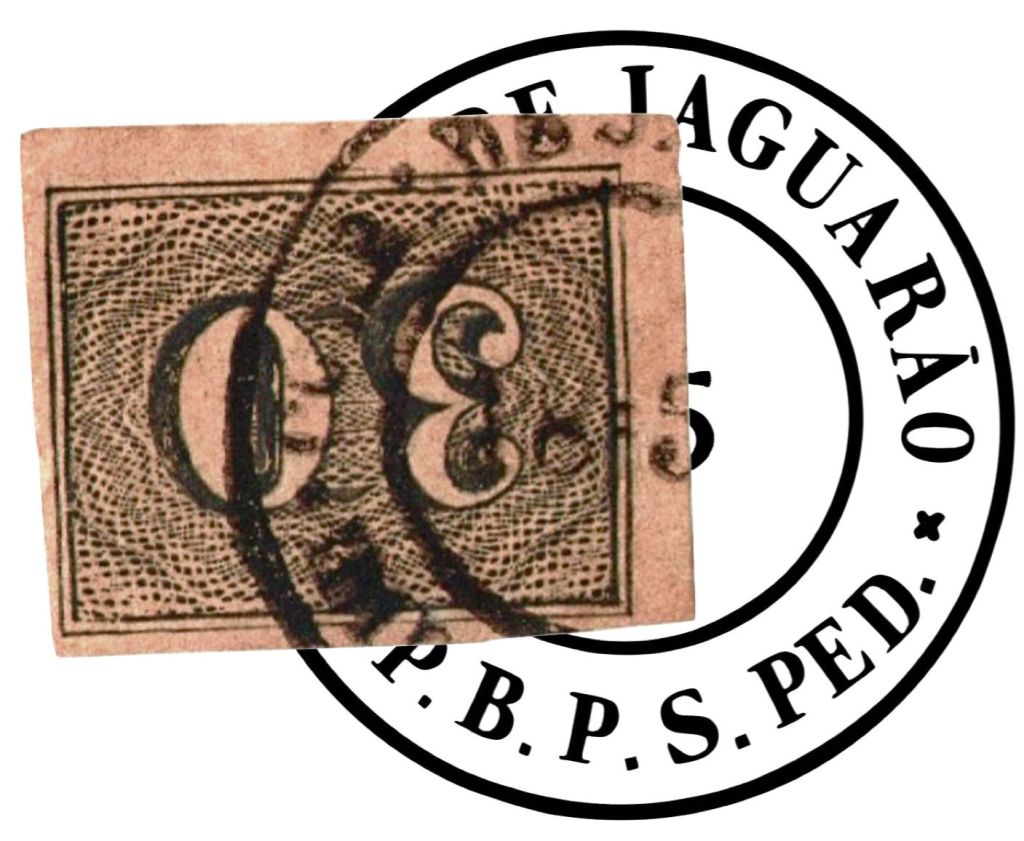
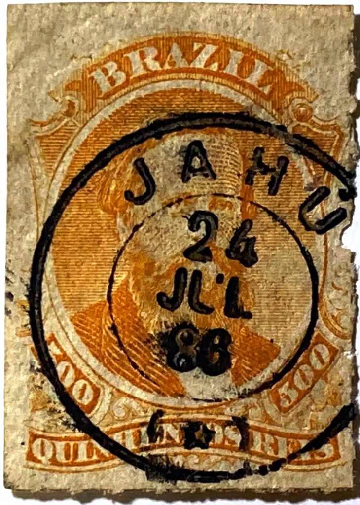
The French type JSP-0705c (fig. Felipe Piccinini) was also used in the late imperial period:
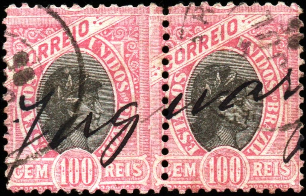
The railway postmark JSP-0706a (fig. Koester, op. cit.) came at about the same time:
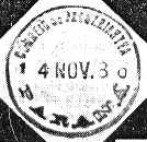
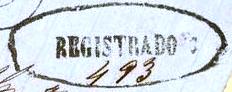
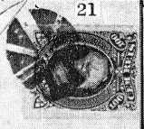
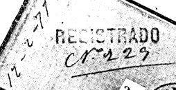
Koester also showed a registered postmark from the 70s:
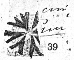
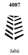
James Dingler and Klerman W. Lopes presented in Mute Cancellations of the Brazil Empire / Carimbos Mudos do Brasil Império (Brazil Philatelic Association, Rio de Janeiro, 2000) the mute cancellation with no. 4087:

Further mute cancels of Jahú were presented by R. Koester:


Andere Schreibweise: Juhu
Im März 1859 wurde die Freguesia de N. Sra. do Patrocínio do Jahu am Südufer des Jaú in der Vila de Brotas, 300 km nordwestlich der Provinzhauptstadt São Paulo, gegründet. Sie wurde im April 1866 zur Vila und im Februar 1889 zur Stadt ernannt. Der indigene Name bezeichnet einen großen Wels aus der Familie Pimelodidae:
Wie die Presse von São Paulo berichtet, wurde im Dezember 1867 beschlossen, in der Vila ein Postamt einzurichten:

Vermutlich wurde der erste Poststempel nicht rechtzeitig geliefert, da frühe Handentwertungen bekannt sind:
Erst in den 70er Jahren erschien der schöne Doppelkreis JSP-0705a (Abb. Mário Celso Orsi Jr.), den es auch in blau und grün gibt:

Kurz danach erschien auch JSP-0705b, mit der falschen Schreibweise JUHU (Abb. R. Koester, in Carimbologia XXV):

In der späten Kaiserzeit wurde auch der französische Typ JSP-0705c (Abb. Felipe Piccinini) verwendet:

Etwa zur gleichen Zeit kam der Bahnpoststempel JSP-0706a (Abb. Koester, op. cit.) hinzu:

Koester zeigte auch einen Einschreibstempel aus den 70er Jahren:

James Dingler und Klerman W. Lopes zeigten in Mute Cancellations of the Brazil Empire / Carimbos Mudos do Brasil Império (Brazil Philatelic Association, Rio de Janeiro, 2000) den stummen Stempel mit Nr. 4087:
Weitere stumme Stempel von Jahú wurden von R. Koester präsentiert: