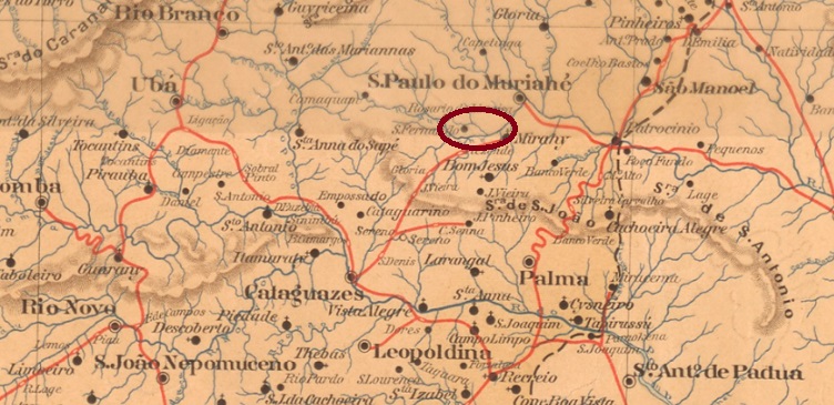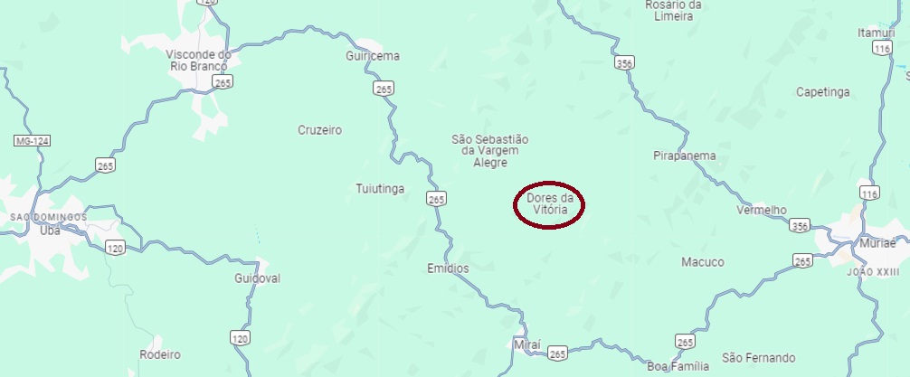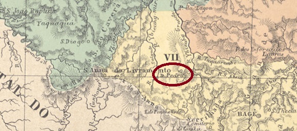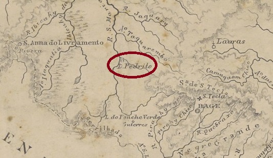
Other names: Vila Vasconcelos, Sentinela do Sul (1992)
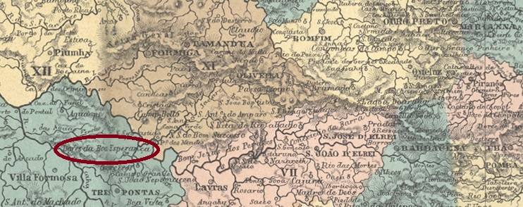
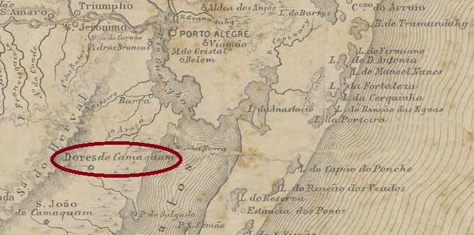
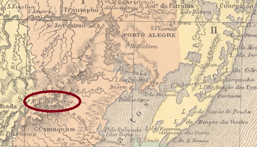
The chapel of N. Sra. das Dores was built in 1819. It was located on the east bank of the Sanga das Capivaras and belonged to the capital of Capitania, Porto Alegre, 100 kilometres to the north. In October 1831, it was incorporated as a district of the newly founded Vila de Triunfo. This was followed by no fewer than four promotions to freguesia: in August 1833 (to Triunfo), in April 1846 and December 1851 (under Porto Alegre) and in April 1864 (belonging to Vila de S. João Do Camaquan). In between, Dores do Camaquan was twice an independent vila, in December 1857 and April 1875.
The administrative chages continued in the 20th centur. In January 1911, Dores do Camaquan became a district of the Município de Porto Alegre, in January 1929 this district was transferred to the Município de Tapes and in November 1938 the place name was changed to Vila Vasconcelos. Since March 1992, the locality has been the Município Sentinela do Sul.
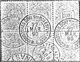
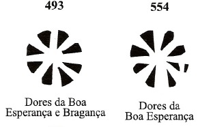
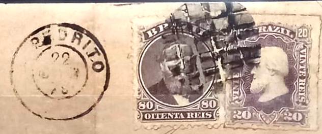
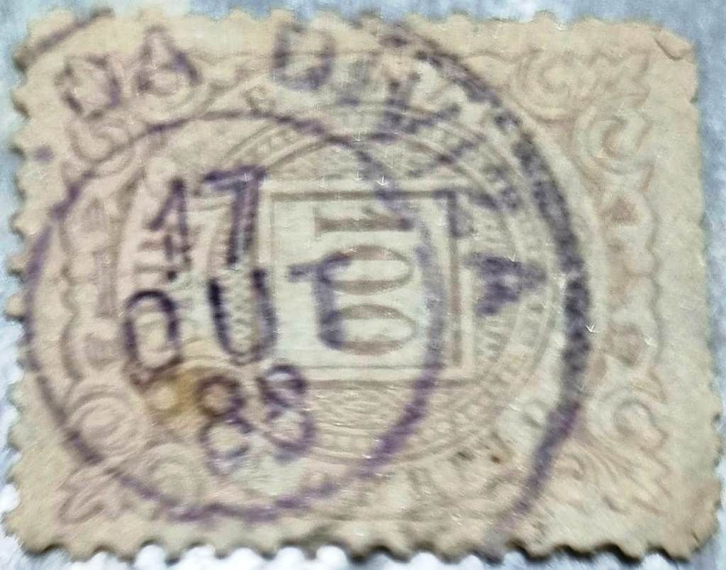
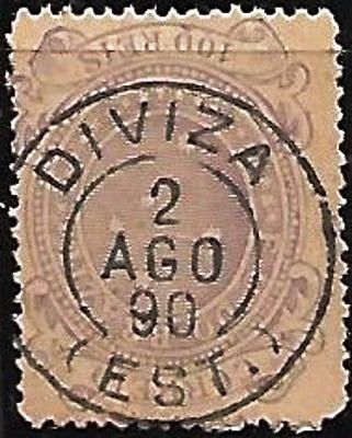
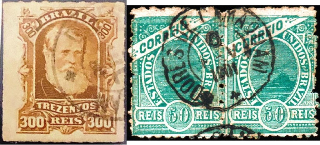
Nova Monteiro (Administrações e Agencias Postaes do Brasil Imperio, in Brasil Filatelico/RJ, 1934-5; reprint SPP 1994-1999) and R. Koester (Carimbologia XVI) write that there was a post office there from October 1860. The oldest postmark to date is probably not the first. DRS-0155b (fig. André Matzenbacher und Claudio Coelho) was previously seen with dates from 1880-1901:
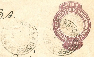
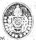
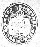
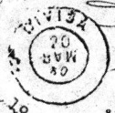
R . Koester (op. cit.) also shows the seal postmark DRS-0155c:

Andere Namen: Vila Vasconcelos, Sentinela do Sul (1992)
Die Kapelle N. Sra. das Dores wurde 1819 erbaut. Sie lag am Ostufer des Kleinflusses Sanga das Capivaras und gehörte zur 100 km nördlich gelegenen Hauptstadt der Capitania, Porto Alegre. Im Oktober 1831 wurde es als Distrito der neu gegründeten Vila de Triunfo eingegliedert. Es folgten nicht weniger als vier Aufstiege zur Freguesia: im August 1833 (zu Triunfo), im April 1846 und im Dezember 1851 (zu Porto Alegre) und im April 1864 (zu Vila de S. João Do Camaquan). Dazwischen war Dores do Camaquan zweimal eine unabhängige Vila, im Dezember 1857 und im April 1875.
Im 20. Jahrhundert ging die wechselvolle Geschichte der Gemeindeverwaltung munter weiter: Im Januar 1911 wurde Dores do Camaquan ein Distrito des Município de Porto Alegre, im Januar 1929 ging dieser Distrikt an das Município de Tapes über und im November 1938 wurde der Ortsname in Vila Vasconcelos geändert. Seit März 1992 ist der Ort der Município Sentinela do Sul.
Nova Monteiro (Administrações e Agencias Postaes do Brasil Imperio, in Brasil Filatelico/RJ, 1934-5; Reprint SPP 1994-1999) und R. Koester (Carimbologia XVI) schreiben, dass es dort ab Oktober 1860 ein Postamt gab. Der bisher älteste Poststempel ist wahrscheinlich nicht der erste. DRS-0155b (Abb. André Matzenbacher und Claudio Coelho) wurde bisher mit Daten von 1880-1901 gesehen:

R . Koester (op. cit.) zeigt auch den Siegelstempel DRS-0155c: