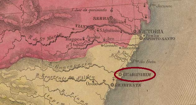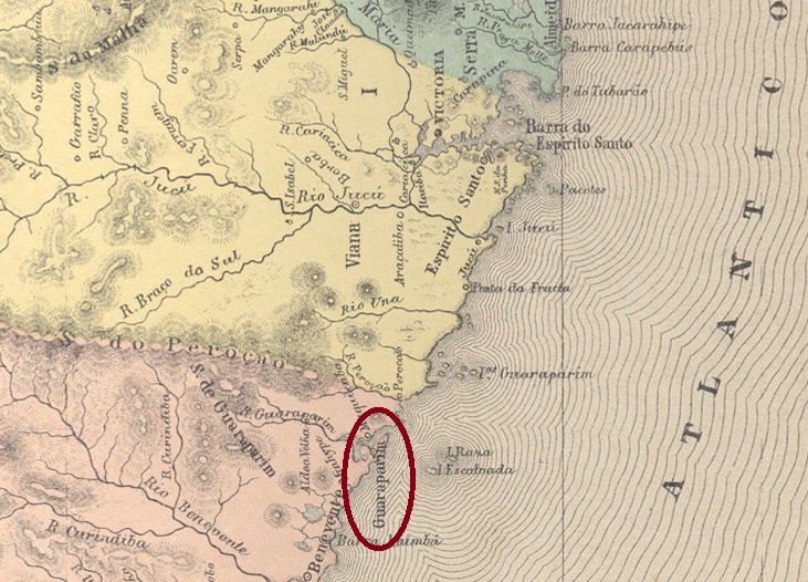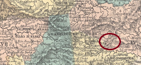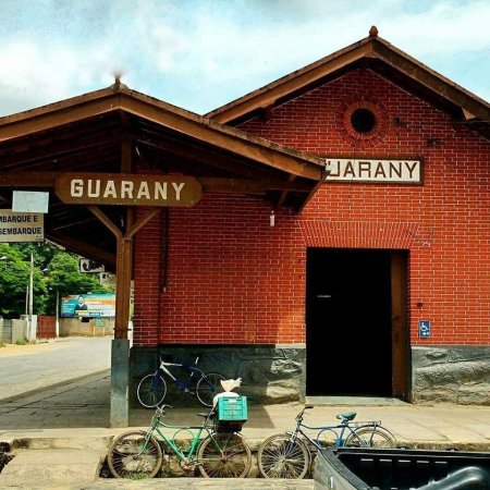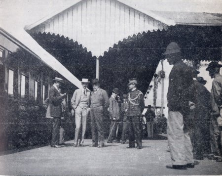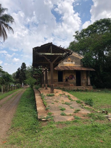
Other names: Aldeia da Atalaia, N. Sra. de Belém
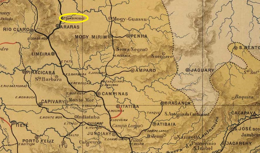
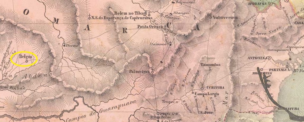
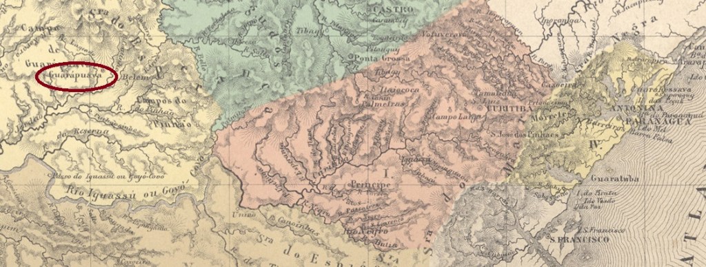
The Freguesia de N. Sra. de Belém was founded in August 1818. It belonged to the Vila de Castro, then still in the Capitana de São Paulo, and was located on the north bank of the Jordão, 250 kilometres west of the future provincial capital of Curitiba. In March 1849, it became the Vila de Guarapuava, but the following year it was downgraded to a freguesia and only in July 1852 was it re-elevated to a vila. Guarapuava has been a town since April 1871. The indigenous place name is said to mean bad wolf.
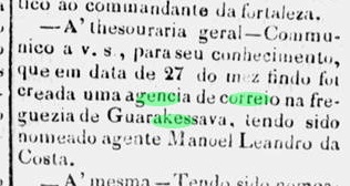
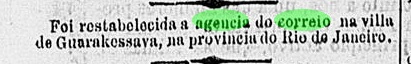
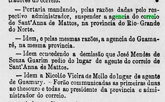
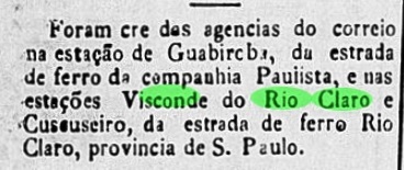
Nova Monteiro writes in Administrações e Agencias Postaes do Brasil Imperio (Brasil Filatelico/RJ, 1934-5; reprint SPP 1994-1999) that there had been a post office there since May 1854. However, this was a new appointment following the death of the previous post office employee, as reported in the regional press:
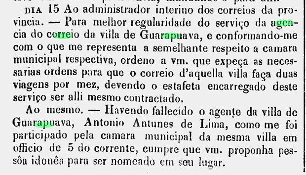
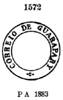
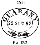
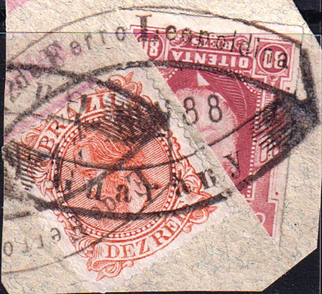
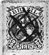
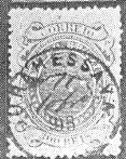
According to the ministerial report (Relatorio do Ministerio do Imperio) of 1856, however, the postal agency in Guarapuava was actually founded in 1854, although the exact date is unknown. The oldest postmark to date is the double circle GPR-0100b (illustration by José L. Fevereiro), which also exists in blue and dark violet:
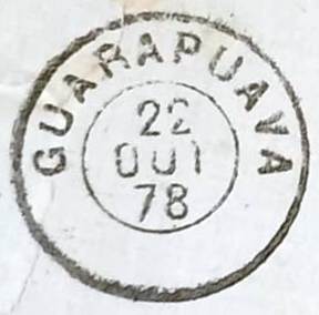
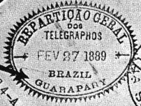
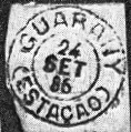
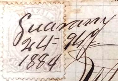
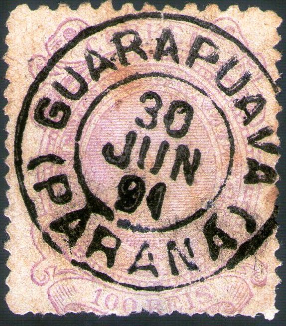
It was followed by GPR-0100c (ill. Claudio Coelho), which also occurs in blue:

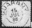
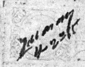
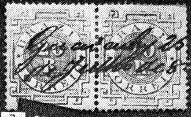
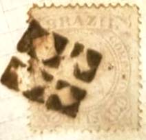
Philatelist Marcio Duarte showed us a mute cancellation from Guarapuava:

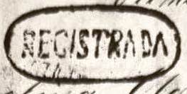
And Reinhold Koester (Carimbologia XXI) presented us a registered postmark from there:
Andere Namen: Aldeia da Atalaia, N. Sra. de Belém
Im August 1818 wurde die Freguesia de N. Sra. de Belém gegründet, sie gehörte zur Vila de Castro, damals noch in der Capitana de São Paulo, und lag am Nordufer des Jordão, 250 km westlich der späteren Provinzhauptstadt Curitiba. Im März 1849 wurde daraus die Vila de Guarapuava, doch im folgenden Jahr erfolgte die Herabstufung zur Freguesia und erst im Juli 1852 die Wiedererhebung zur Vila. Seit April 1871 ist Guarapuava eine Stadt. Der indigene Ortsname soll böser Wolf bedeuten.
Nova Monteiro schreibt in Administrações e Agencias Postaes do Brasil Imperio (Brasil Filatelico/RJ, 1934-5; Reprint SPP 1994-1999), dass es dort seit Mai 1854 ein Postamt gab. Es handelte sich jedoch um eine Neubesetzung nach dem Tod des vorherigen Postangestellten, wie die regionale Presse berichtete:

Laut Ministerialbericht (Relatorio do Ministerio do Imperio) von 1856 wurde die Postagentur in Guarapuava jedoch tatsächlich 1854 gegründet, das genaue Datum ist noch unbekannt. Der bisher älteste Poststempel ist der Doppelkreis GPR-0100b (Abb. José L. Fevereiro), den es auch in blau und dunkelviolett gibt:

Ihm folgte GPR-0100c (Abb. Claudio Coelho), den es auch in blau gibt:
Der Philatelist Marcio Duarte zeigte uns einen stummen Stempel aus Guarapuava:
Und Reinhold Koester (Carimbologia XXI) zeigte uns einen Einschreibepoststempel von dort: