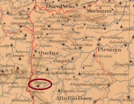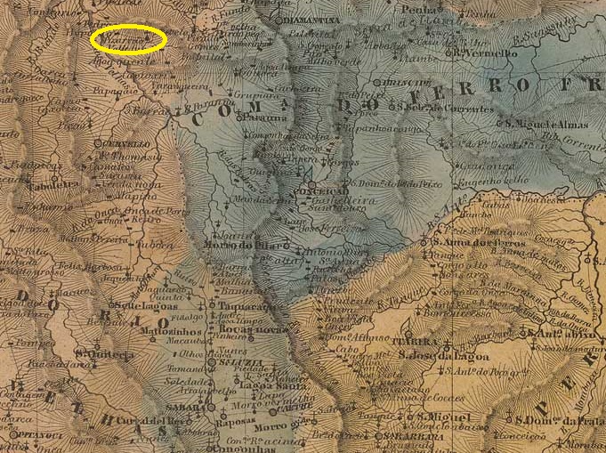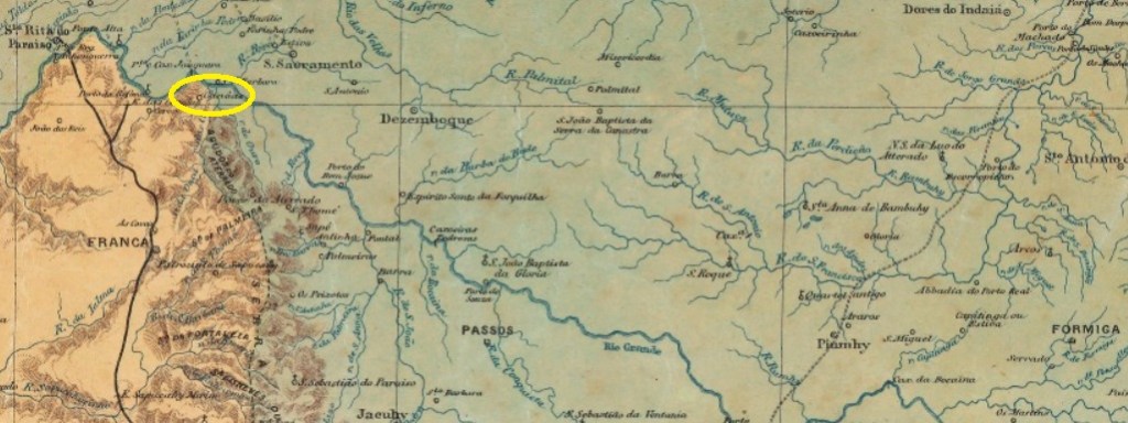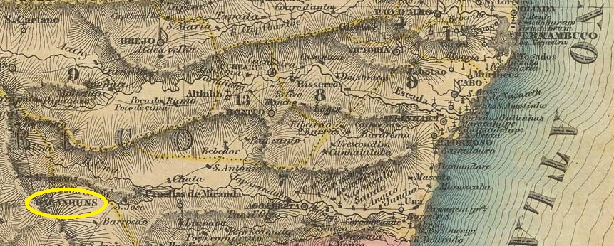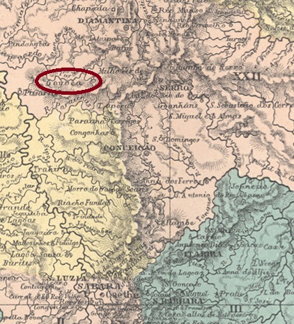
Sto. Antonio de Gouvêa had been a district of the Vila de Diamantina since April 1841, located between the Ribeirão do Chiqueiro and the Córrego Lava-Pés, 350 kilometres north of the provincial capital Ouro Preto. In November 1873, the locality was a vila for a day before it was given the status of a district again. Gouveia (as it is spelt today) has only been a município again since December 1953.
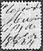
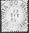
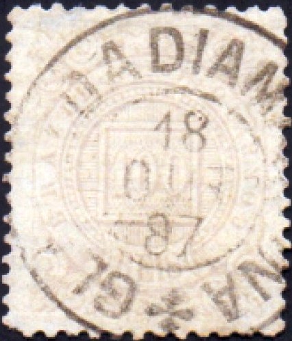
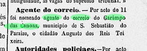
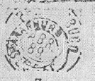
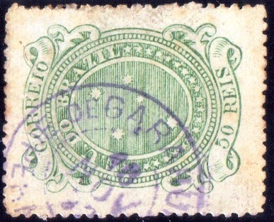
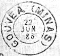
Paula Sobrinho (História Postal de Minas Gerais, Belo Horizonte, 1997) and R. Koester (Carimbologia XX) agree that there has been a post office there since November 1881. The oldest postmark to date is GMG-1255a (fig. R. Koester):

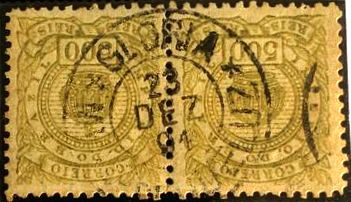
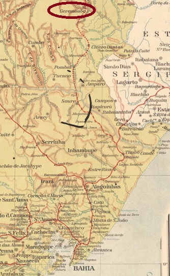
It was followed by GMG-1255b (Ill. R. Koester, op. cit.):
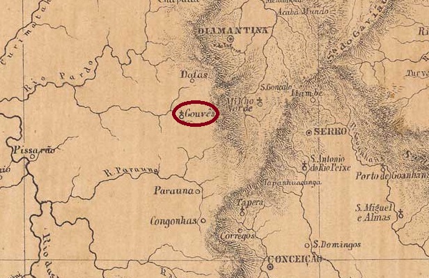
Sto. Antonio de Gouvêa war seit April 1841 ein Distrikt der Vila de Diamantina und lag zwischen dem Ribeirão do Chiqueiro und dem Córrego Lava-Pés, 350 km nördlich der Provinzhauptstadt Ouro Preto. Im November 1873 war der Ort für einen Tag eine Vila, bevor er wieder den Status eines Distrikts erhielt. Erst seit Dezember 1953 ist Gouveia (wie es heute geschrieben wird) wieder ein Município.
Paula Sobrinho (História Postal de Minas Gerais, Belo Horizonte, 1997) und R. Koester (Carimbologia XX) sind sich einig, dass es dort seit November 1881 ein Postamt gab. Der bisher älteste Stempel ist GMG-1255a (Abb. R. Koester):

Es folgte GMG-1255b (Abb. R. Koester, op. cit.):