Another name: Muriaé (1911)
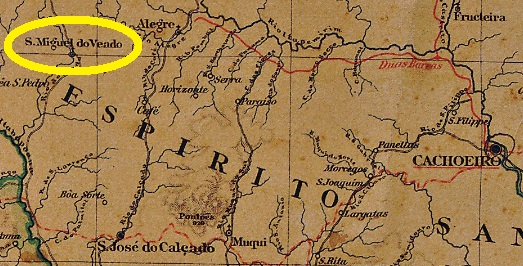
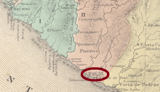
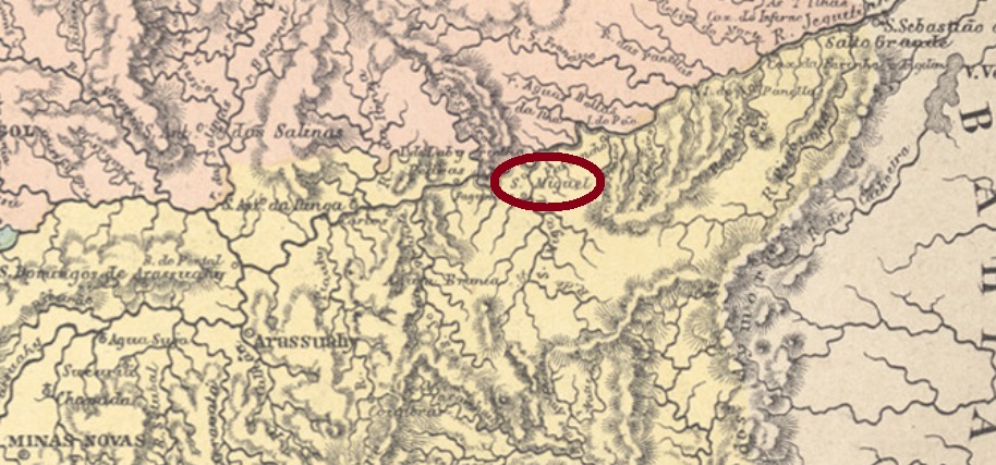
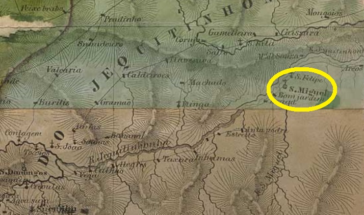
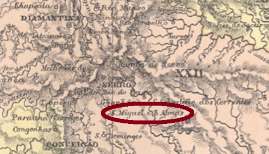
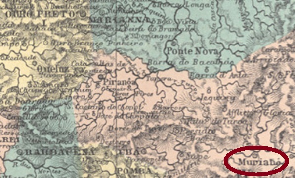
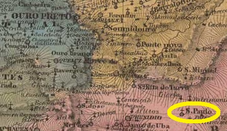
São Paulo de Muriahé was a district in the Município of Ubá from April 1841, located on the south bank of the Muriaé River, over 200 km southeast of the provincial capital Ouro Preto. In May 1855, the place rose to a villa and ten years later to a town, which since August 1911 has simply been called Muriaé.
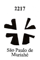
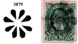
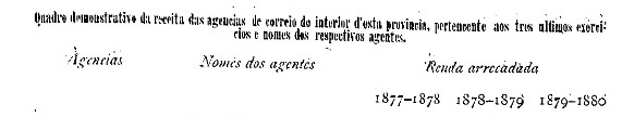
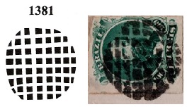
As Paula Sobrinho writes in Historia Postal de Minas Gerais (Belo Horizonte, 1997), there has been a post office there since March 1862. A postmark of the imperial period was found, unfortunately probably not the oldest. SMG-2540b (Coll. José A. Junges) appears in turquoise and carmine and is a double circle with the inscription S.P. DE MURIAHÉ at the top. The dates in the centre have so far been found for the period 1878-1891.
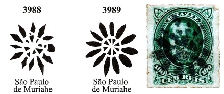
There are no less than five mute cancellations for this locality, all to be seen in Mute Cancellations of the Brazil Empire / Carimbos Mudos do Brasil Império, (Brazil Philatelic Association, Rio de Janeiro, 2000) by J. Dingler and Kl. Lopes:


Anderer Name: Muriaé (1911)
São Paulo de Muriahé war ab April 1841 ein Distrikt im Município von Ubá, der am Südufer des Flusses Muriaé lag, gut 200 km südöstlich der Provinzhauptstadt Ouro Preto entfernt lag. Im Mai 1855 stieg der Ort zur Villa und zehn Jahre später zu einer Stadt auf, die seit August 1911 einfach Muriaé heißt.
Wie Paula Sobrinho in Historia Postal de Minas Gerais (Belo Horizonte, 1997) schreibt, gibt es dort seit März 1862 ein Postamt. Ein Ortsstempel der Kaiserzeit war zu finden, leider wohl nicht der älteste. SMG-2540b (Samml. José A. Junges) kommt in türkis und karmin vor und ist ein Doppelkreis mit der Inschrift S.P. DE MURIAHÉ oben. Die Daten in der Mitte wurden bisher für den Zeitraum 1878 bis 1891 gefunden.
Dazu gibt es nicht weniger als fünf stumme Stempel für diese Ortschaft, alle im Mute Cancellations of the Brazil Empire / Carimbos Mudos do Brasil Império, (Brazil Philatelic Association, Rio de Janeiro, 2000) von J. Dingler und Kl. Lopes zu sehen: