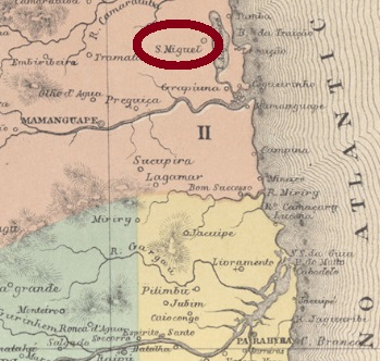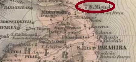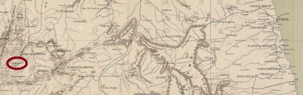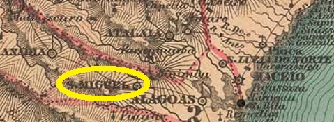
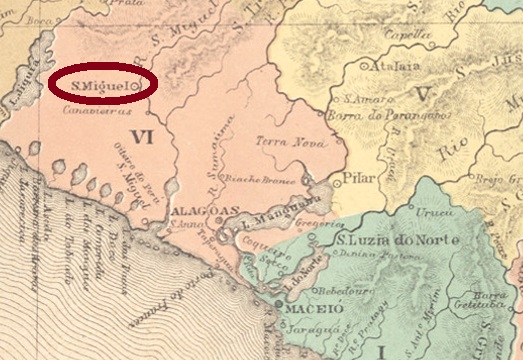
Another name: São Miguel
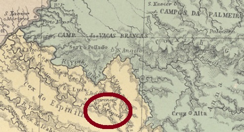
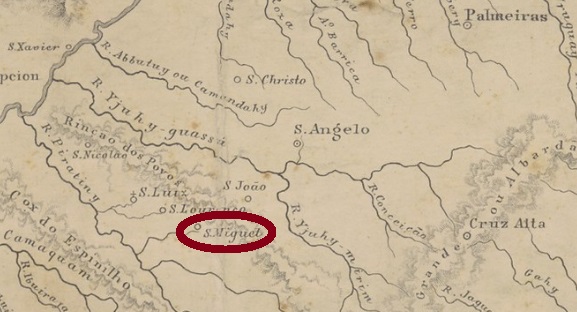
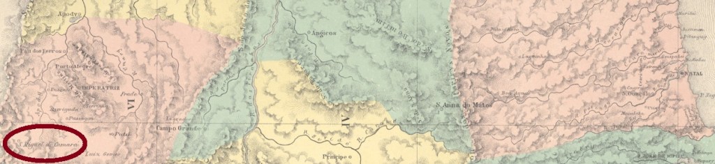
São Miguel dos Campos was a freguesia in the municipality of Alagoas (today: Deodoro), which became a villa in July 1832 and was declared a town in June 1864. The village is located about 50 km southwest of the provincial capital Maceió and had almost 20,000 inhabitants at the end of the Empire.
There are three creation years for the local post office, two of which are provided by Aldo Cardoso in his Contribuição para a História dos Correios de Alagoas (Maceió, 1969): June 1834 and 1842. On the other hand, Nova Monteiro writes in Administrações e Agencias Postaes do Brasil Imperio, (Brasil Filatelico/RJ, 1934-5; Reprint SPP 1994-1999) that there was a post office in São Miguel dos Campos since September 1855.
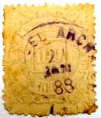
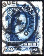
Two postmarks of the 19th century were found as double circles, the oldest of which is unfortunately difficult to read. SAL-0220b (Coll. José A. Junges) has the inscriptions (…) CAMPOS above and ALAGOAS below. The only copy has a date from 1870 in the centre. SAL-0220c (Coll. José A. Junges) has above the inscription S. MIGL. DOS CAMPOS, below is (ALAGOAS) now between brackets. Dates in the middle between 1890 and 1896.
Anderer Name: São Miguel
São Miguel dos Campos war eine Freguesia im Município von Alagoas (heute: Deodoro), die bereits im Juli 1832 zur Villa aufstieg und im Juni 1864 zur Stadt erklärt wurde. Der Ort liegt gut 50 km südwestlich der Provinzhauptstadt Maceió und hatte am Ende des Kaiserreichs fast 20.000 Einwohner.
Drei Gründungsjahre fürs örtliche Postamt sind vorhanden, zwei davon liefert Aldo Cardoso in seiner Contribuição para a História dos Correios de Alagoas (Maceió, 1969): Juni 1834 und 1842. Auf der anderen Seite schreibt Nova Monteiro in Administrações e Agencias Postaes do Brasil Imperio, (Brasil Filatelico/RJ, 1934-5; Reprint SPP 1994-1999), es gibt ein Postamt in São Miguel dos Campos seit September 1855.
Zwei Poststempel des 19. Jahrhunderts wurden als Doppelkreise gefunden, der älteste davon leider nur schwer leserlich. SAL-0220b (Samml. José A. Junges) hat die Inschriften (…) CAMPOS oben und ALAGOAS unten. Das einzige Exemplar hat ein Datum aus 1870 in der Mitte. SAL-0220c (Samml. José A. Junges) hat oben die Inschrift S. MIGL. DOS CAMPOS, unten ist (ALAGOAS) nun zwischen Klammern. Daten in der Mitte zwischen 1890 und 1896.