Print edition update of November 11, 2020
See also Condeúba (R. Koester: Carimbologia XIII)
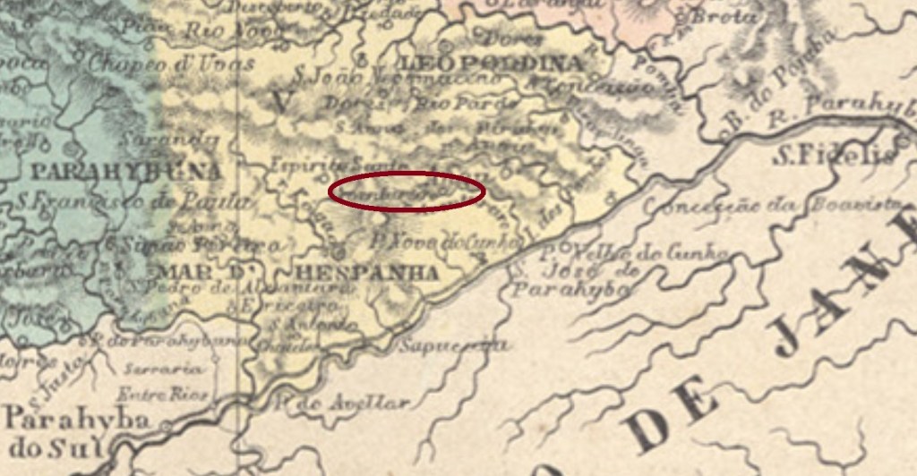
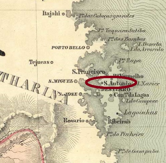
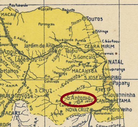
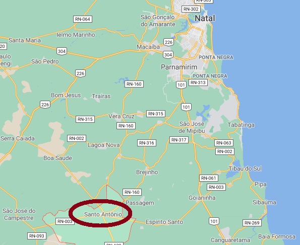
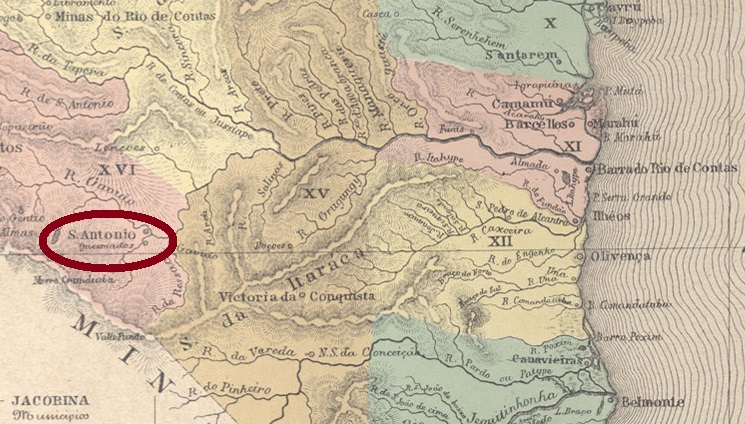
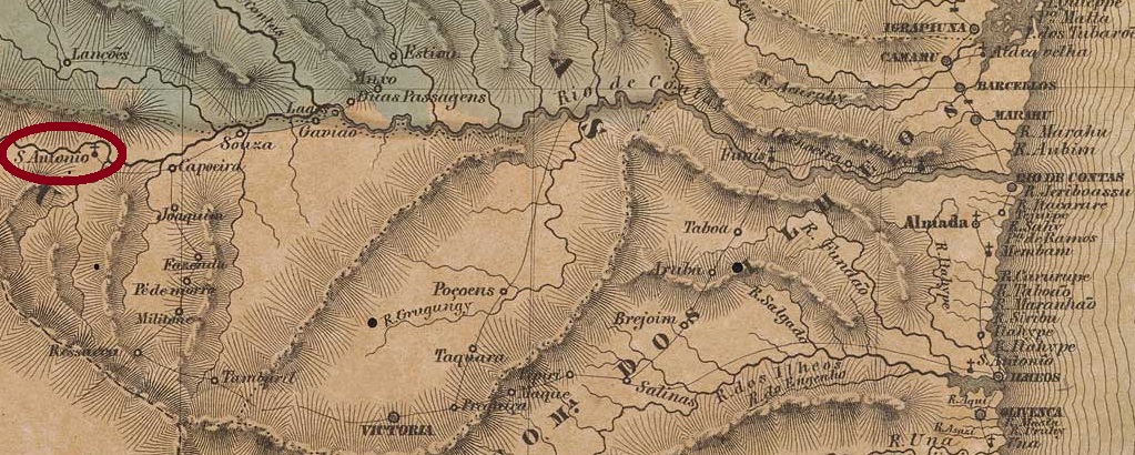
Santo Antonio da Barra was since May 1851 a district in the municipality of Caetité, situated round 650 km southwest of the province capital Salvador da Bahia. In June 1860 it ascended to a villa in own municipality, which was declared the town of Condeúba in June 1889. The name is a tupi-portuguese merge and shall mean well burning wood.
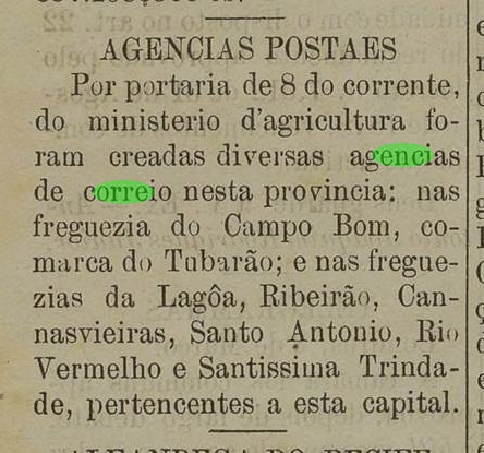
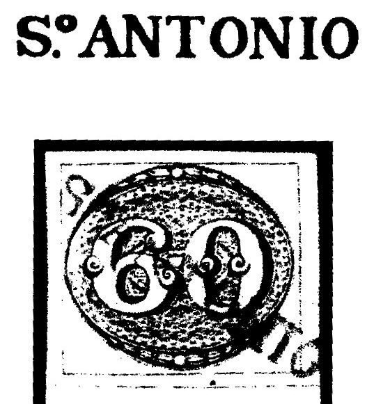
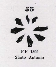
According to Nova Monteiro (Administrações e Agencias Postaes do Brasil Imperio, in Brasil Filatelico/RJ, 1934-5; Reprint SPP 1994-1999), the local post office was created in March 1864. Two ancient cancels were found. SBA-0685a was already presented by R. Koester (Carimbologia XIII): a French-type, with the inscription SANTO ANTONIO DA BARRA above and the typical star between parentheses below. The inner dates are usually missing and should have been written by hand. Found on stamps issued 1882-1884. SBA-0685b (Coll. FM) is possibly republican, for it was found with date 1895: a double circle with imprint S.A. DA BARRA above, dated at the centre.
Buchtext-Aktualisierung vom 11. November 2020
Siehe auch Condeúba (R. Koester: Carimbologia XIII)
Santo Antonio da Barra war ab Mai 1851 ein Distrikt im Município von Caetité, der rund 650 km südwestlich der Provinzhauptstadt Salvador da Bahia entfernt lag. Im Juni 1860 wurde daraus eine Villa im eigenen Município, die zur Stadt Condeúba im Juni 1889 aufstieg. Dieser Ortsname ist ein tupi-portugiesiches Konstrukt, das gutes Brennholz bedeuten soll.
Laut Nova Monteiro (Administrações e Agencias Postaes do Brasil Imperio, in Brasil Filatelico/RJ, 1934-5; Reprint SPP 1994-1999) entstand das örtliche Postamt im März 1864. Zwei frühe Abstempelungen wurden gefunden. SBA-0685a war bereits durch R. Koester (Carimbologia XIII) vorgestellt: ein “Französischer-Typ” mit der Inschrift SANTO ANTONIO DA BARRA oben und dem typischen Stern zwischen Klammern unten. Die Daten in Inneren fehlen meistens, die sollten wohl per Hand eingetragen werden. Gefunden auf Marken, die 1882-1884ff ausgegeben wurden. SBA-0685b (Samml. FM) ist möglicherweise bereits republikanisch, da das einzige Exemplar ein Datum von 1895 aufweist. Der Stempel zeigt einen Doppelkreis mit der Inschrift S.A. DA BARRA oben, dazu Datum in der Mitte.