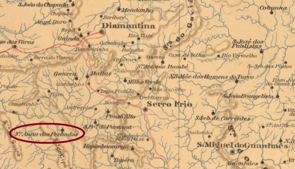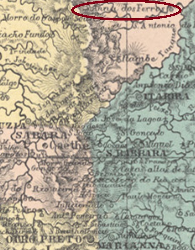
Other names: Pau dos Ferros, Ferros (1923)
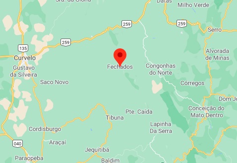
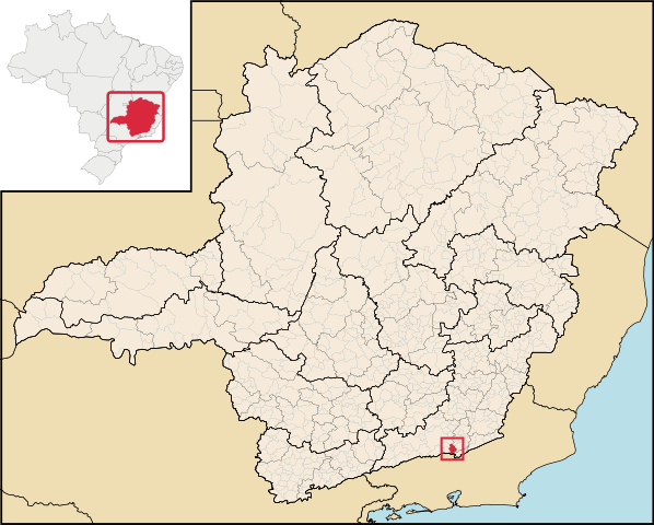
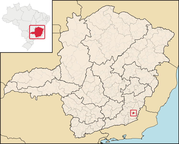
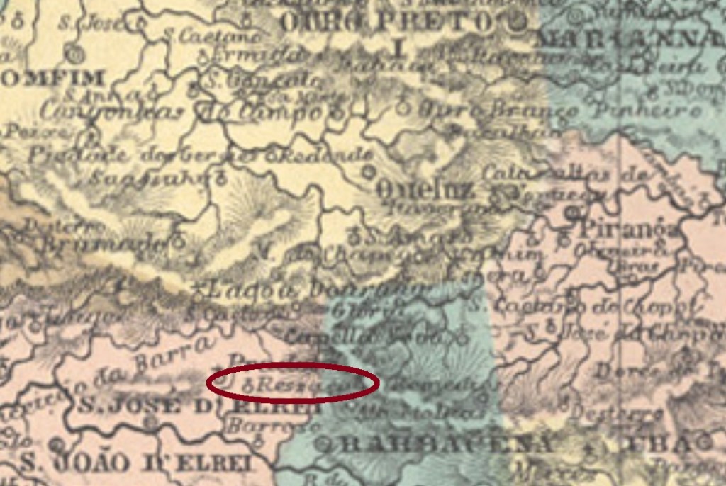
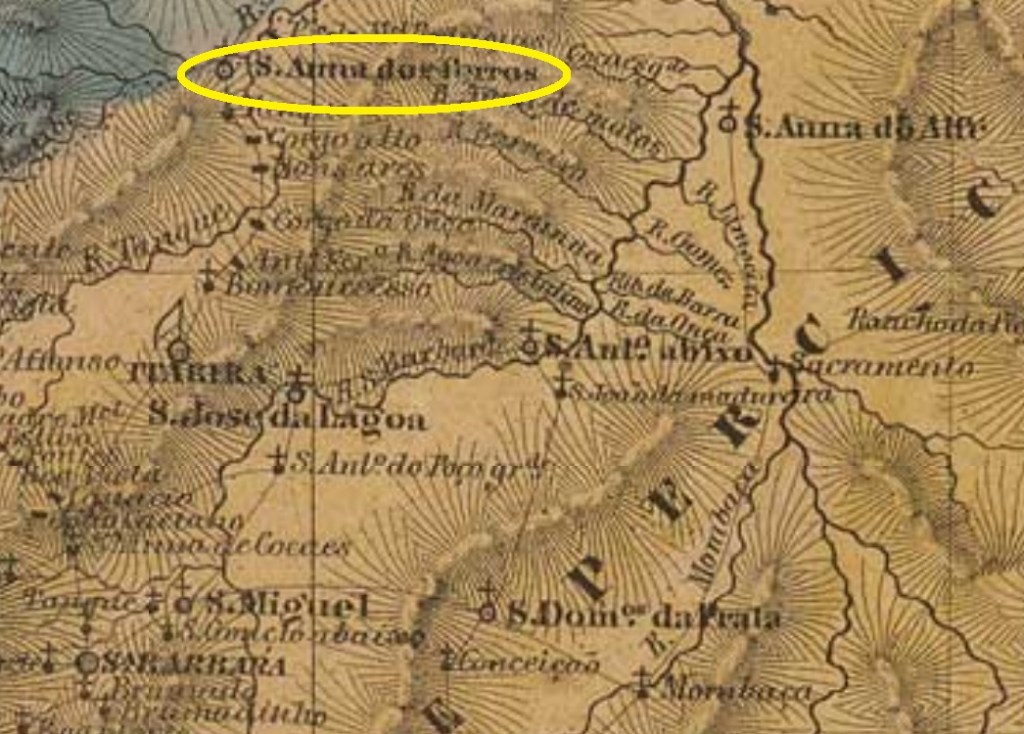
This Sant’Anna locality was since July 1832 a parish in the municipality of Caeté, situated over 200 km north of the provincial capital Ouro Preto. In September 1886 the name was changed to Ferros, and since September 1923 it has an own municipality.
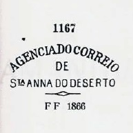
According to Paula Sobrinho (História Postal de Minas Gerais, Belo Horizonte, 1997), the local post office was created in January 1876. Two imperial cancels are known, which were both already presented by Paulo Ayres (Catálogo de Carimbos Brasil-Império, S. Paulo, 1937, 1942). SMG-2790a is Ayres’ # 1591, it ocurred also in bluish green and circulated at least until 1883:
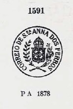
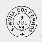
It was followed by SMG-2790b, which was found within the period 1885-1890 and also appears in bluish green:
Andere Namen: Pau dos Ferros, Ferros (1923)
Diese Sant’Anna-Ortschaft war ab Juli 1832 eine Pfarrei im Município von Caeté, die über 200 km nördlich der Provinzhauptstadt Ouro Preto entfernt lag. Im September 1886 wechselte der Ortsname zu Ferros, und seit September 1923 hat diese Gemeinde einen eigenen Município.
Laut Paula Sobrinho (História Postal de Minas Gerais, Belo Horizonte, 1997) gibt es dort ein Postamt seit Januar 1876. Zwei Poststempel aus der Kaiserzeit sind bekannt, beide wurden bereits durch Paulo Ayres (Catálogo de Carimbos Brasil-Império, S. Paulo, 1937, 1942) vorgestellt. SMG-2790a ist Ayres’ Nr.1591, es gibt ihn auch in blaugrün und wurde zumindest bis 1883 verwendet:

Sein Nachfolger war SMG-2790b, der für den Zeitraum 1885-1890 nachgewiesen wurde und auch in blaugrün vorkommt: