Other names: Colonia do Assunguy, Nossa Senhora da Guia do Serro Azul, Cerro Azul (1929).
See also Assunguy (R. Koester: Carimbologia II)
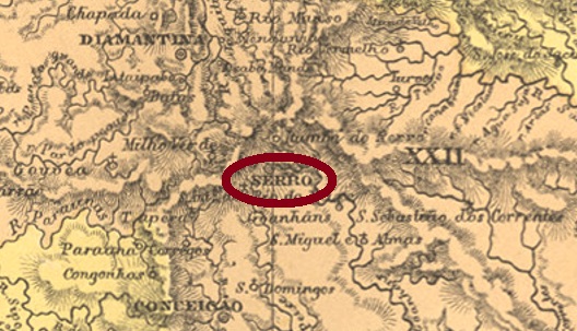
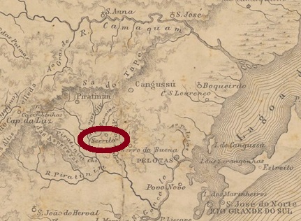
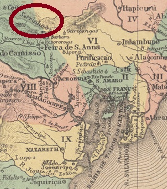
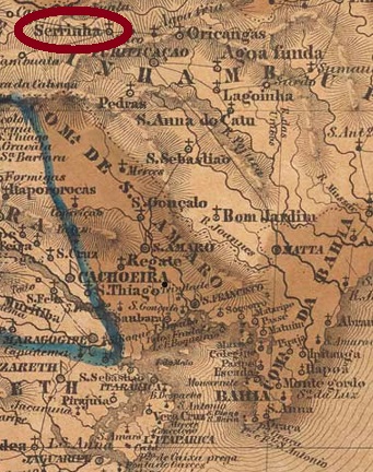
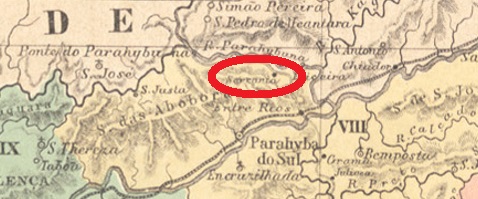
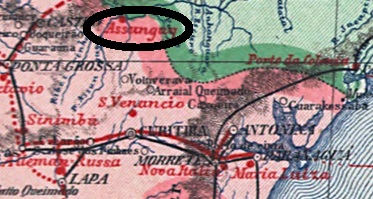
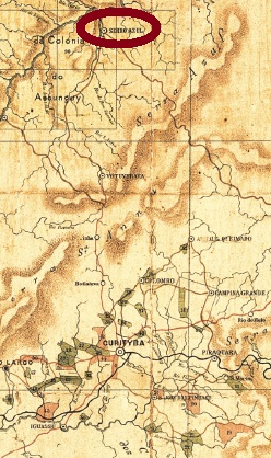
This village was established around 1860, when the colony of Assunguy was founded on the east bank of the Ponta Grossa River, 90 km north of the provincial capital Curitiba. Assunguy is a Tupi-Guarani language word meaning Blue River. In April 1872, the village rose to a freguesia in the município of Votuverava, in October 1882, to a vila called Serro Azul, and in December 1897, to a town. Since 1929, Cerro Azul – as it is now written – has been an independent município.
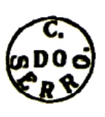
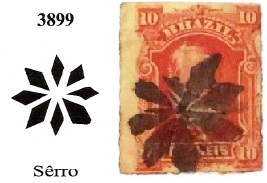
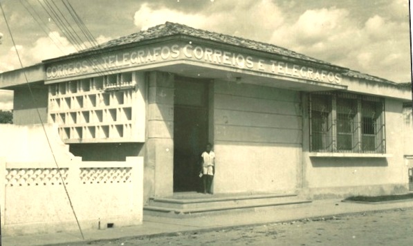
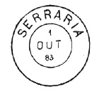
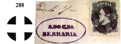
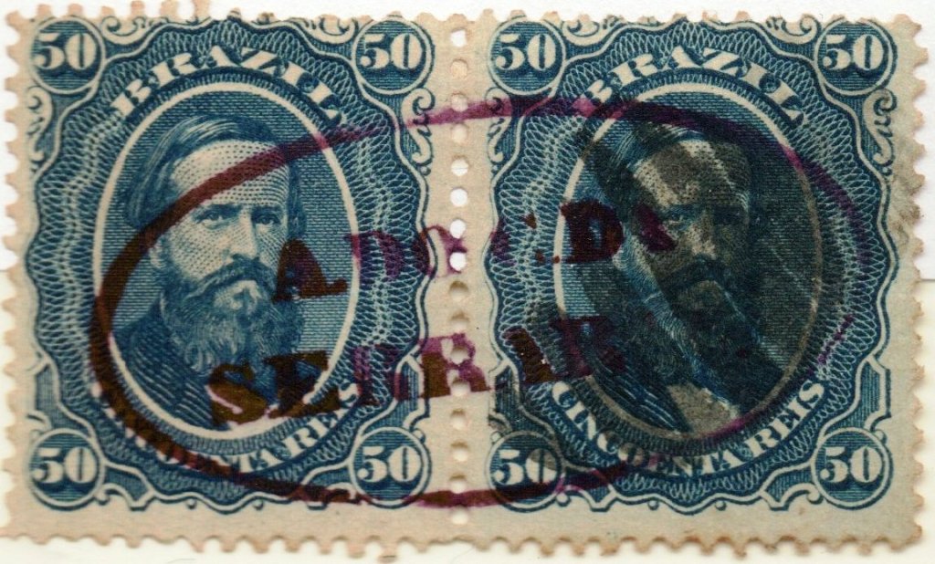
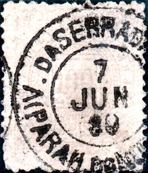
According to the Imperial Mail Register (Tabella das Agencias do Correio do Imperio, Rio de Janeiro, 1885), there has been a post office there since 1875. The only 19th century postmark so far is SPR-0210a (image from the internet): a circle with the inscriptions SERRO AZUL above and PARANA below. The copy seen is red and bears a date from 1890 in the centre. Earlier stamps will probably show ASSUNGUY.
Andere Namen: Colonia do Assunguy, Nossa Senhora da Guia do Serro Azul, Cerro Azul (1929)
Siehe auch Assunguy (R. Koester: Carimbologia II)
Diese Ortschaft entstand um 1860, als die Kolonie Assunguy am Ostufer des Flusses Ponta Grossa gegründet wurde, 90 km nördlich der Provinzhauptstadt Curitiba entfernt. Assunguy ist ein Begriff der Tupi-Guarani Sprache und bedeutet Blauer Fluss. Im April 1872 stieg der Ort zur Freguesia im Município von Votuverava, im Oktober 1882 zur Vila namens Serro Azul und im Dezember 1897 zur Stadt. Seit 1929 ist Cerro Azul – wie man jetzt schreibt – ein eigenständiger Município.
Laut Verzeichnis der kaiserlichen Postämter (Tabella das Agencias do Correio do Imperio, Rio de Janeiro, 1885) gibt es dort ein Postamt seit 1875. Der bisher einzige Poststempel im 19. Jahrhundert ist SPR-0210a (Abb. aus dem Internet): ein Kreis mit den Inschriften SERRO AZUL oben und PARANA unten. Das gesichtete Exemplar ist rot und trägt ein Datum aus 1890 in der Mitte. Frühere Stempel werden wohl ASSUNGUY haben.