Another name: Araripe (1889)
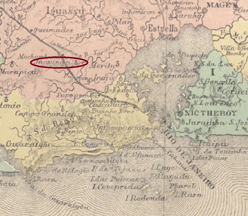
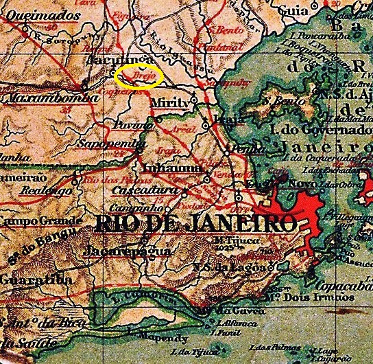
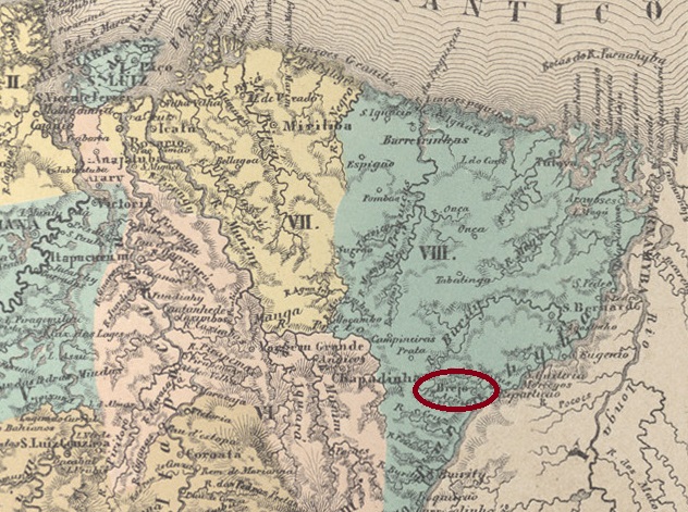
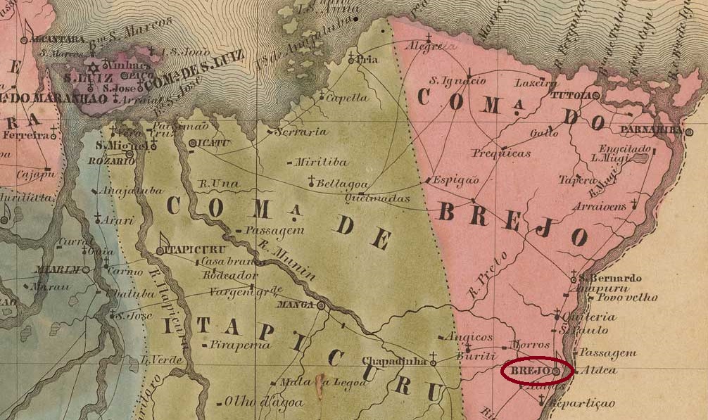
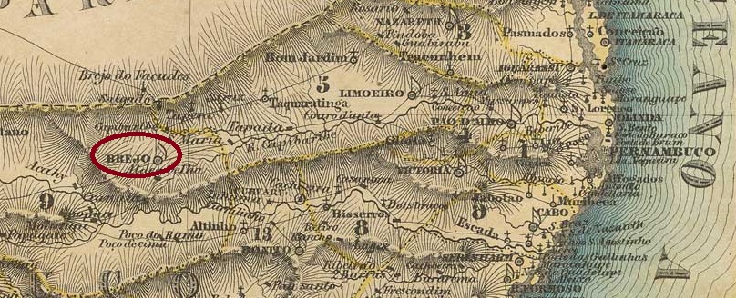
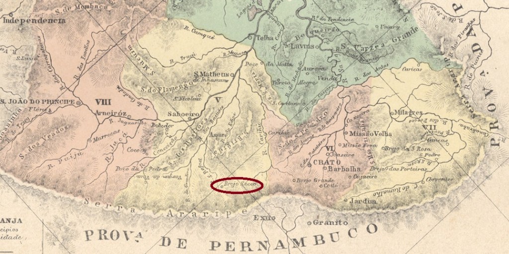
The parish of Sto. Antonio do Brejo Secco (St. Anthony on the Dry Marsh) was founded in November 1870 in the Município of Assaré, 520 km south of the provincial capital Fortaleza. The village rose to the status of vila in August 1875 and 14 years later it was given the name Araripe. The beautiful word of the Tupi language means place where the sun rises.
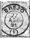
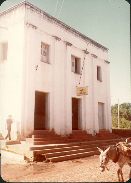
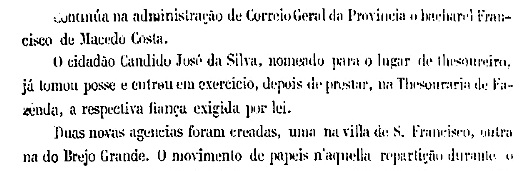
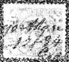
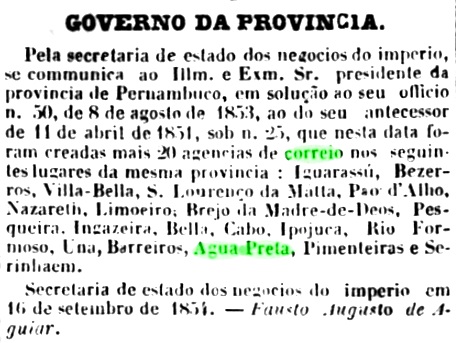
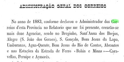
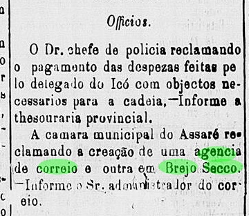
Two dates of origin for the local post office have been found. First in January 1870, as R. Koester writes in Carimbologia VI. Then in 1879, as listed in the Directory of Imperial Post Offices (Tabella das Agencias do Correio do Imperio, Rio de Janeiro, 1885). The earlier date could be a typographical error, because still at the beginning of 1874, the lack of a postal agency was lamented in the regional press:

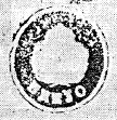
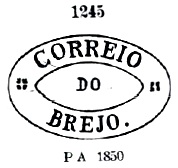
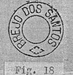
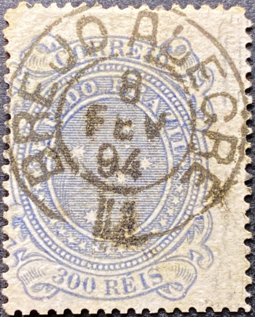
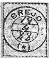
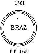
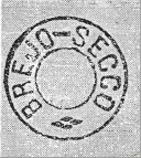
The first postmark is BCE-0060a and was already shown in R. Koester’s Carimbologia VI.
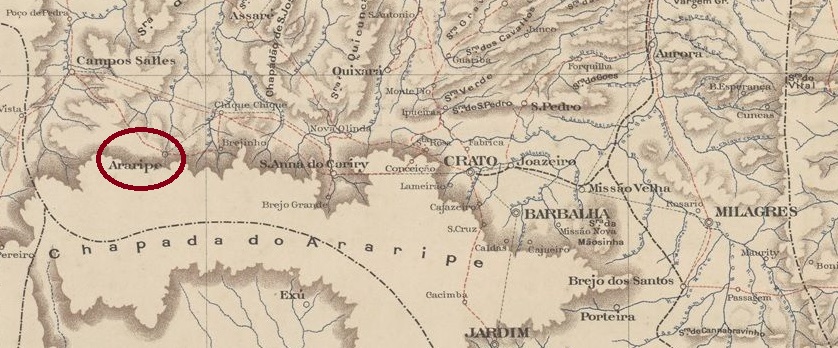
Anderer Name: Araripe (1889)
Die Pfarrei von Sto. Antonio do Brejo Secco (Hl. Antonius am Trockenen Sumpf) wurde im November 1870 gegründet und lag im Município von Assaré, 520 km südlich der Provinzhauptstadt Fortaleza entfernt. Die Ortschaft stieg im August 1875 zur Vila auf und 14 Jahre später erhielt sie den Namen Araripe. Das schöne Wort der Tupi-Sprache bedeutet Ort, wo die Sonne aufsteigt.
Zwei Entstehungszeitpunkte fürs örtliche Postamt wurden gefunden. Erstmals im Januar 1870, wie R. Koester in Carimbologia VI schreibt. Dann 1879, wie im Verzeichnis der kaiserlichen Postämter (Tabella das Agencias do Correio do Imperio, Rio de Janeiro, 1885) aufgelistet. Das frühere Datum könnte ein Druckfehler sein, denn noch am Anfang 1874 beklagte man das Fehlen einer Postagentur in der Presse:
Der erste Poststempel ist BCE-0060a und wurde bereits in R. Koesters Carimbologia VI gezeigt: