Another name: Amparo do Serra (1962)
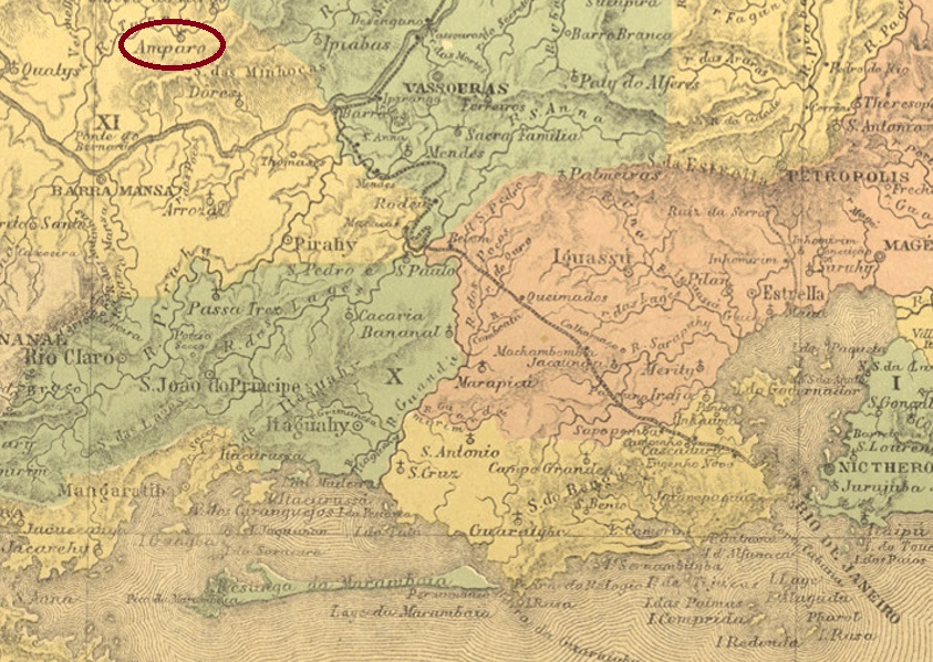
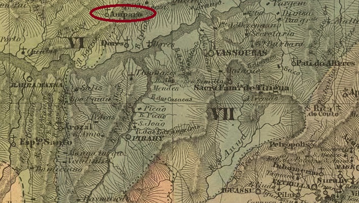
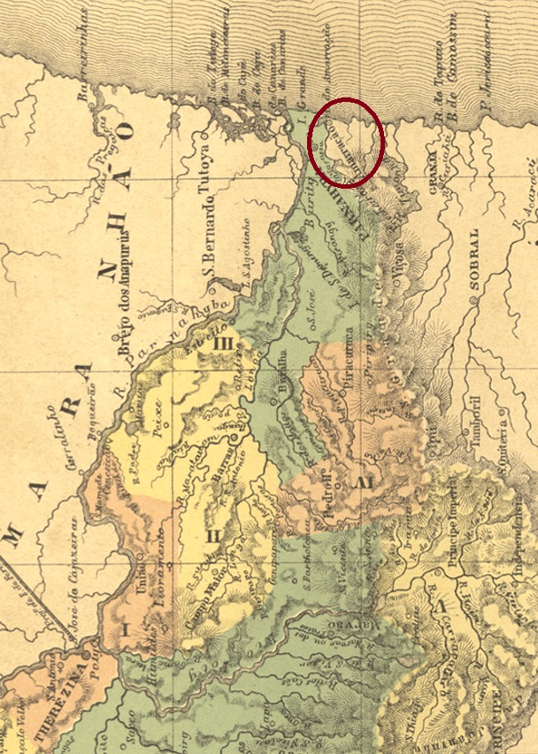
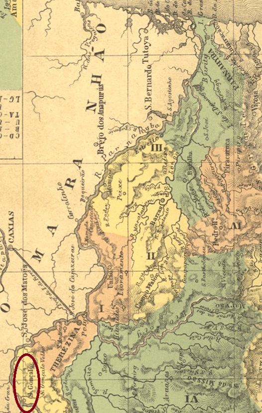
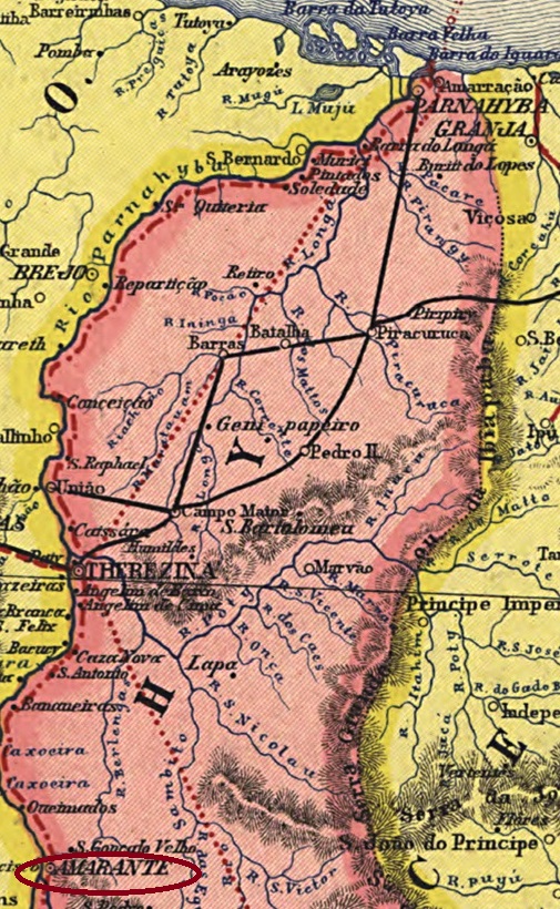
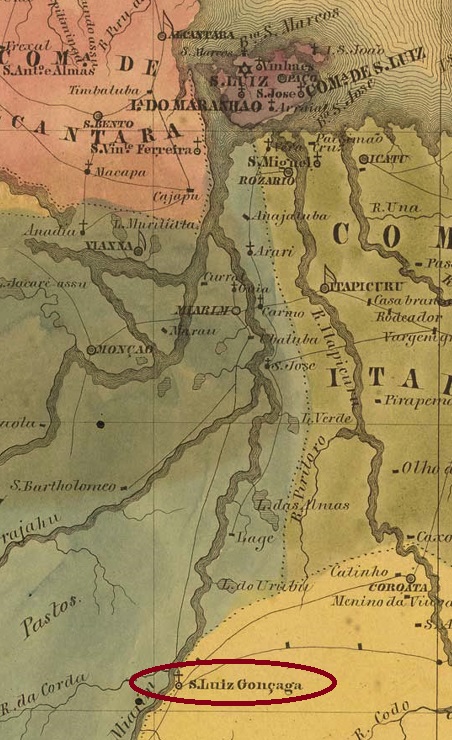
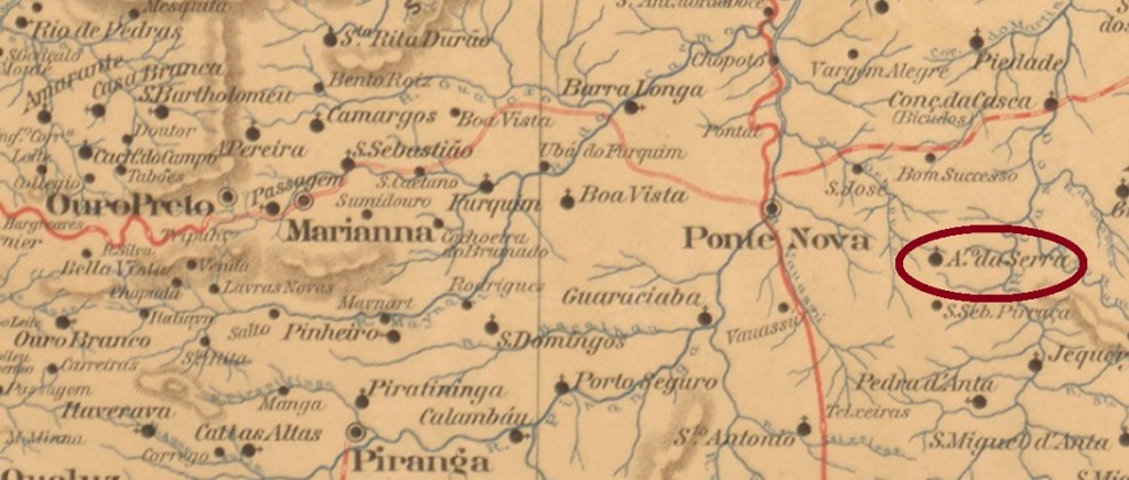
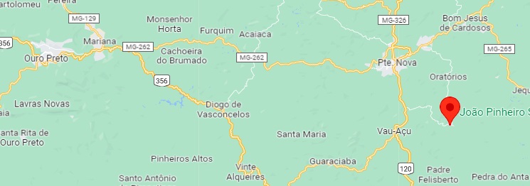
The Freguesia of N. Sra. da Conceição do Amparo da Serra was founded in June 1872 in the município of Ponte Nova, located on the north bank of the river S. José dos Oratórios, 100 km east of the former provincial capital Ouro Preto. Since December 1962, the village has been the independent município of Amparo DO Serra.
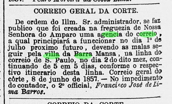
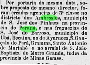
The local post office was established in February 1882, as Paula Sobrinho writes in História Postal de Minas Gerais (Belo Horizonte, 1997). This is conirmed by the Rio press:

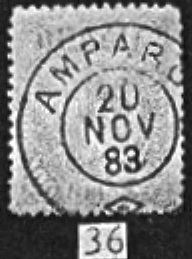
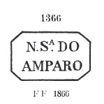
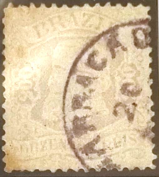
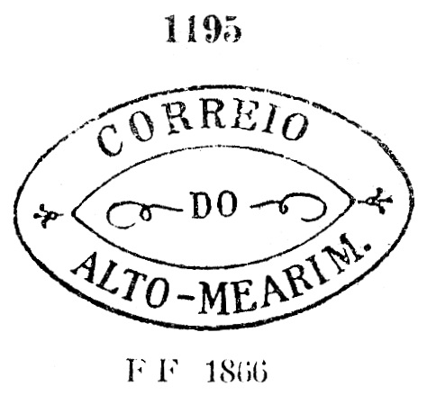
The imperial postmark is AMG-0070a and was already presented by Reinhold Koester in Carimbologia I (1961):

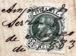
A handwritten cancellation from this place was also found in the Klerman W. Lopes collection:

Anderer Name: Amparo do Serra (1962)
Die Freguesia von N. Sra. Da Conceição do Amparo da Serra wurde im Juni 1872 im Município von Ponte Nova gegründet und lag am Nordufer des Flusses S. José dos Oratórios, 100 km östlich der ehemaligen Provinzhauptstadt Ouro Preto entfernt. Seit Dezember 1962 ist der Ort der eigenständiger Município von Amparo DO Serra.
Das örtliche Postamt entstand im Februar 1882, wie Paula Sobrinho in História Postal de Minas Gerais (Belo Horizonte, 1997) schreibt. Das wird durch die Presse aus Rio bestätigt:
Der kaiserliche Poststempel ist AMG-0070a und wurde bereits durch Reinhold Koester im Carimbologia I (1961) vorgestellt:

Aus diesem Ort wurde auch eine handschriftliche Entwertung in der Sammlung Klerman W. Lopes gefunden: