Other names: Lagoa Seca, Upatininga (1938)
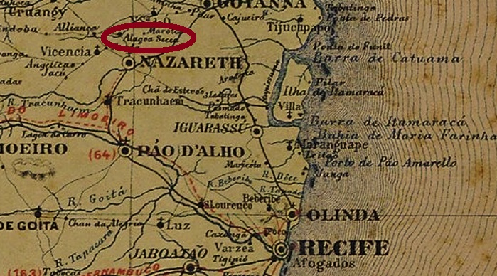
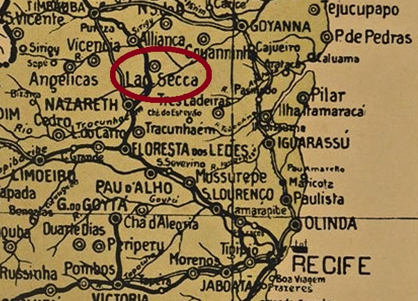
The Freguesia of N. Sa. do Bom Despacho da Alagoa Secca (Our Lady of the Good Dispatch on the Dry Lake) was created in June 1883 in the Vila of Nazareth, 70 km northwest of the provincial capital Recife. In September 1928, the place – now called Lagoa Seca – changed to the Município of Aliança and received the place name Upatininga in December 1938. The term from the Tupi language also means Dry Lake.
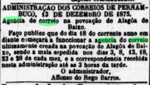
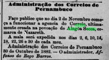
The local post office started operations in November 1882, as reported in the regional press:
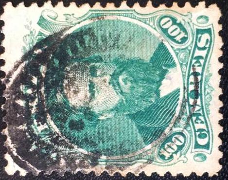
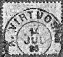
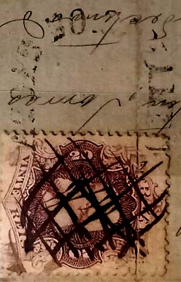
The oldest postmark from the imperial period so far is APE-0025a (Coll. Márcio Protzner): A double circle with the inscriptions ALAGOA SECCA at the top and (PERNAMo) at the bottom. The only specimen seen has a date from 1894 in the centre.
Andere Namen: Lagoa Seca, Upatininga (1938)
Die Freguesia von N. Sa. do Bom Despacho da Alagoa Secca (Unsere Liebe Frau des Guten Entschlusses am Trockenen See) entstand im Juni 1883 in der Vila von Nazareth, 70 km nordwestlich der Provinzhauptstadt Recife. Im September 1928 wechselte der Ort – nun Lagoa Seca genannt – zum Município von Aliança und bekam im Dezember 1938 den Ortsnamen Upatininga. Der Begriff aus der Tupi-Sprache bedeutet ebenfalls Trockenen See.
Das örtliche Postamt startete den Betrieb im November 1882, wie die Regionalpresse berichtete:

Der bisher älteste Poststempel aus der Kaiserzeit ist APE-0025a (Samml. Márcio Protzner): Ein Doppelkreis mit den Inschriften ALAGOA SECCA oben und (PERNAMo) unten. Das einzig gesehene Exemplar hat ein Datum aus 1894 in der Mitte.