Other names: Senhor do Bomfim da Tapera, Senhor do Bonfim (1943)
See also Bomfim/BA (R. Koester: Carimbologia V)
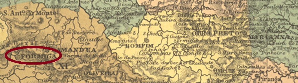
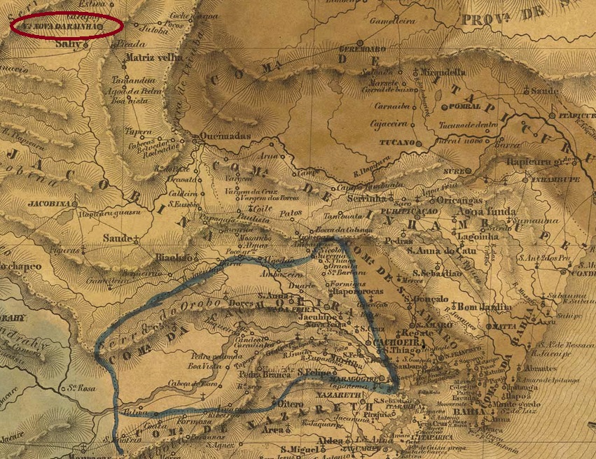
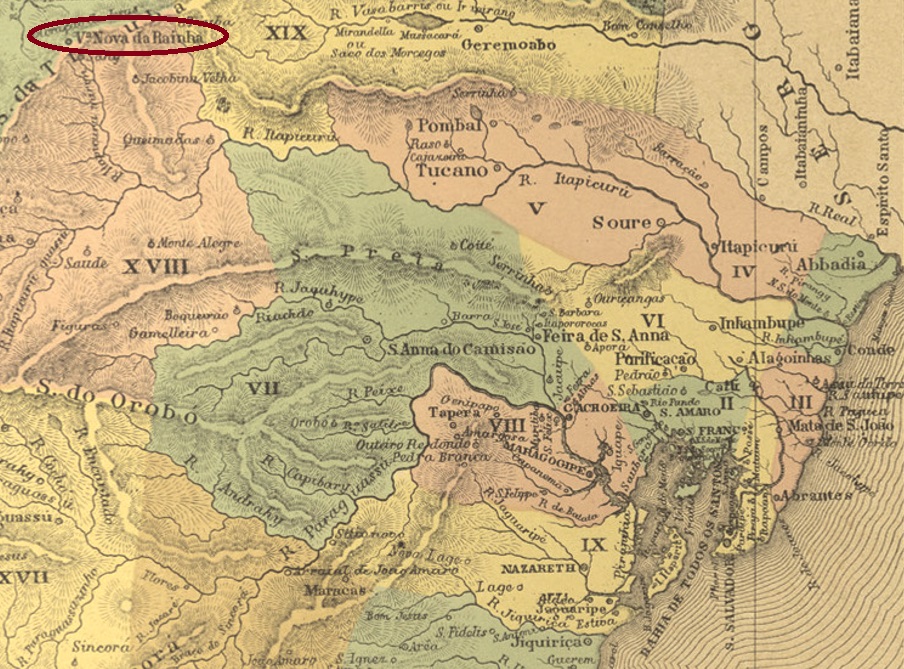
The settlement called Arraial de Senhor do Bomfim da Tapera was founded in 1750 and was situated on the south bank of the river Itapicuru, 380 km northwest of the later provincial capital Salvador da Bahia. In July 1797, by royal decree (Carta Régia), it was elevated to Villa Nova da Rainha. In May 1885 – by which time the Portuguese queen was barely remembered – it became the town of Bomfim, which has been called Senhor do Bonfim since December 1943.
Two opening dates for the local post office were found. First in March 1836, as Nova Monteiro writes in Administrações e Agencias Postaes do Brasil Imperio (Brasil Filatelico/RJ, 1934-5; Reprint SPP 1994-1999). Then again in 1846, as can be read in the Directory of Imperial Post Offices (Tabella das Agencias do Correio do Imperio, Rio de Janeiro, 1885). The oldest postmark is VBA-0790a, which was probably used from 1836 onwards and was already presented in the RHM catalogue:

It was followed by VBA-0790b, which was used from about 1843 until at least 1846 and can also be seen in the RHM catalogue:

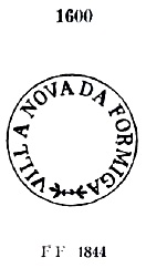
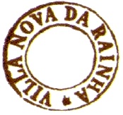
The last postmark in the Empire is VBA-0790c (Coll. José A. Junges): a double circle with the inscription V.N. DA RAINHA above. The dates in the centre go from 1882 to 1891.
Andere Namen: Senhor do Bomfim da Tapera, Senhor do Bonfim (1943)
Siehe auch Bomfim/BA (R. Koester: Carimbologia V)
Die Siedlung namens Arraial de Senhor do Bomfim da Tapera entstand 1750 und lag am Südufer des Flusses Itapicuru, 380 km nordwestlich der späteren Provinzhauptstadt Salvador da Bahia. Im Juli 1797 erfolgte durch Königliche Verfügung (Carta Régia) der Aufstieg zur Villa Nova da Rainha. Im Mai 1885 – da war die portugiesische Königin kaum noch in Erinnerung – wurde daraus die Stadt von Bomfim, die seit Dezember 1943 Senhor do Bonfim heißt.
Zwei Eröffnungsdaten fürs örtliche Postamt wurden gefunden. Erstmals im März 1836, wie Nova Monteiro in Administrações e Agencias Postaes do Brasil Imperio (Brasil Filatelico/RJ, 1934-5; Reprint SPP 1994-1999) schreibt. Dann wieder 1846, wie im Verzeichnis der kaiserlichen Postämter (Tabella das Agencias do Correio do Imperio, Rio de Janeiro, 1885) zu lesen ist. Der älteste Poststempel ist VBA-0790a, der wohl ab 1836 Verwendung fand und bereits im RHM-Katalog vorgestellt wurde:

Ihm folgte VBA-0790b, der ab ca. 1843 bis zumindest 1846 gebraucht wurde und auch im RHM-Katalog zu sehen ist:
Der letzte Poststempel im Kaiserreich ist VBA-0790c (Samml. José A. Junges). Ein Doppelkreis mit der obigen Inschrift V.N. DA RAINHA. Die Daten in der Mitte gehen zunächst von 1882 bis 1891.