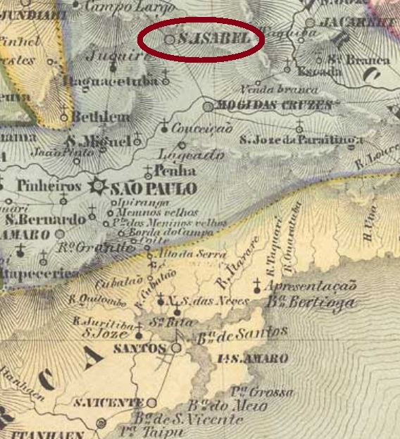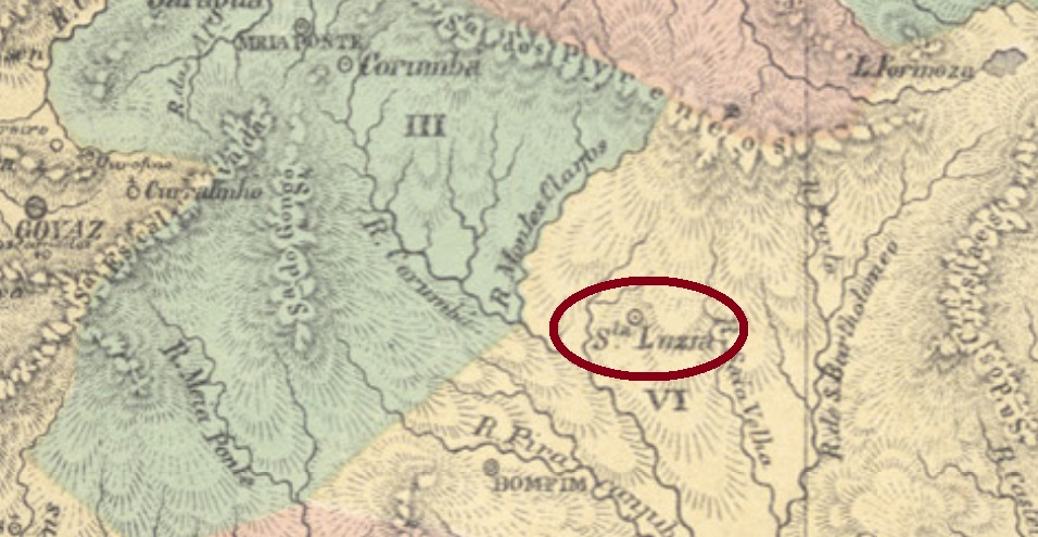
Santa Luzia was a district founded by gold miners in September 1759, situated over 380 km east of the former province capital Goyaz (today: Goiás Velho). In April 1834 it was elevated to a villa in own municipality, and in October 1867 it ascended to a town. Since December 1943 it is called the municipality of Luziânia.
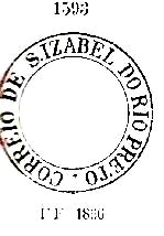
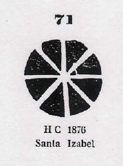
Nova Monteiro (Administrações e Agencias Postaes do Brasil Imperio, in Brasil Filatelico/RJ, 1934-5; Reprint SPP 1994-1999) lists this post office with creation date in March 1829, but the Imperial Mail Register (Tabella das Agencias do Correio do Imperio) of 1885 states it took place in 1853. Possibly this agency was closed for a while, in the meantime. From the first period we have SGO-0210a (RHM- Catálogo Enciclopédico), a cancel which was found on Bull’s Eyes:

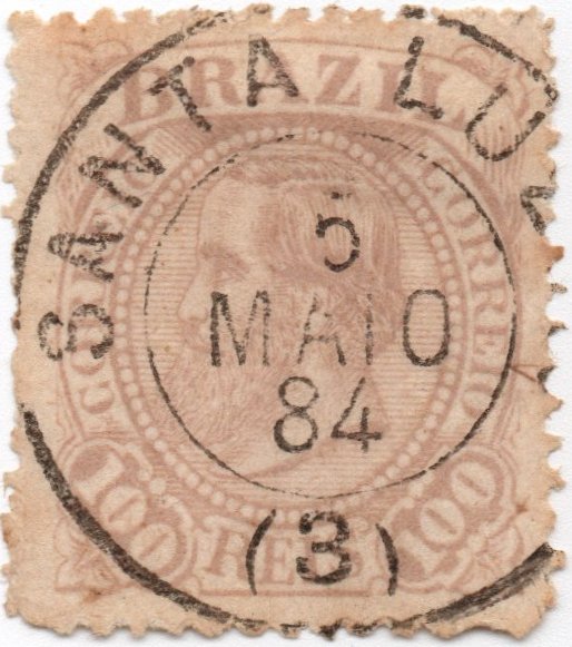
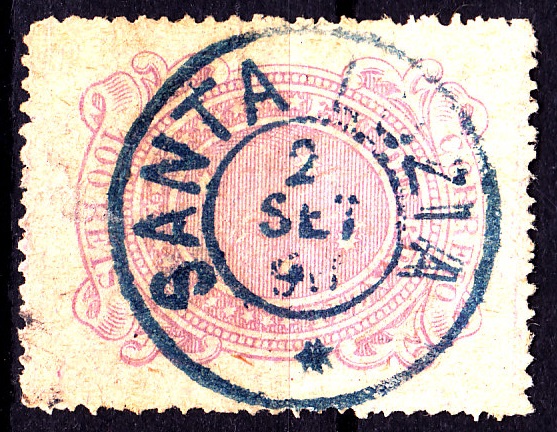
For actual information about the different Santa Luzia cancels see also:
Santa Luzia: Differentiation / Unterscheidung
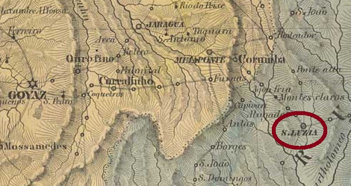
Santa Luzia war ein Distrikt, durch Goldsucher im September 1759 gegründet, der über 380 km östlich der ehemaligen Provinzhauptstadt Goyaz (heute: Goiás Velho) entfernt lag. Im April 1834 stieg er zur Villa im eigenen Município auf, die sich ab Oktober 1867 eine Stadt nennen durfte. Seit Dezember 1943 ist es der Município von Luziânia.
Nova Monteiro (Administrações e Agencias Postaes do Brasil Imperio, in Brasil Filatelico/RJ, 1934-5; Reprint SPP 1994-1999) listet dises Postamt mit Entstehungsdatum im März 1829 auf, aber im Verzeichnis der kaiserlichen Postämter (Tabella das Agencias do Correio do Imperio) aus 1885 liest man das Jahr 1853. Wahrscheinlich war die Agentur in der Zwischenzeit mal geschlossen. Aus der ersten Betriebszeit haben wir den Stempel SGO-0210a (RHM- Catálogo Enciclopédico), der auch auf Ochsenaugen zu finden ist:

Für aktuelle Angaben über die Problematik der Santa Luzia-Stempel siehe auch:
Santa Luzia: Differentiation / Unterscheidung