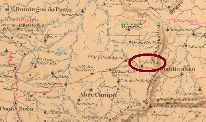
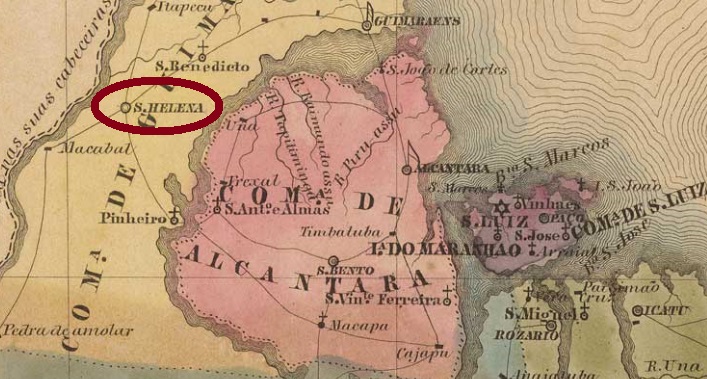
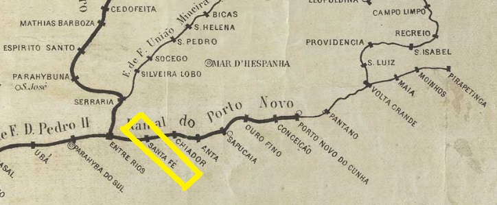
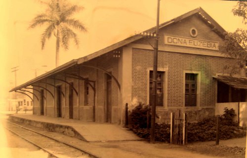
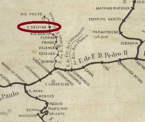
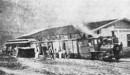
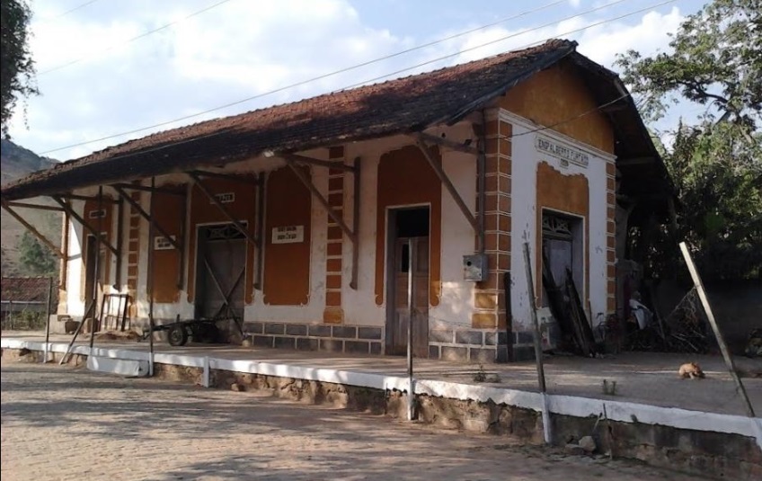
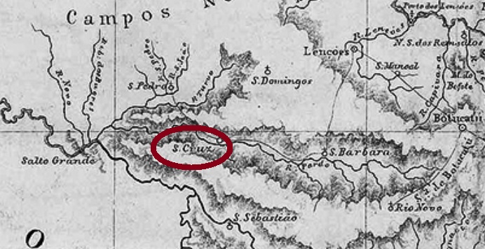
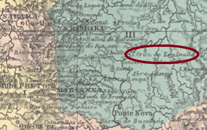
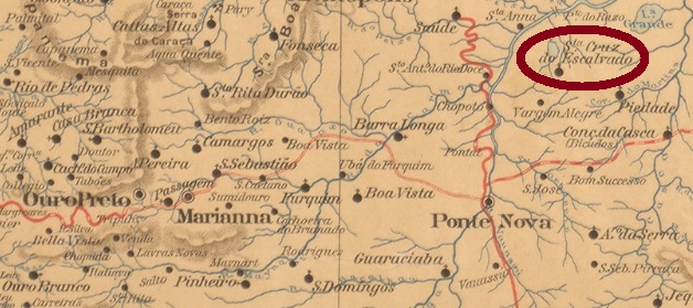
This Santa Helena train station has nothing to do with the Santa Helena post office presented before (SMG-2845). It was built in July (or September, after P. Sobrinho) 1879 by the Companhia União Mineira railway, Caratinga Line, in the municipality of Mar d’Hespanha, over 250 km south of the former province capital Ouro Preto. In 1884 the railway control passed to the Estrada de Ferro Leopoldina, and from 1975 until operation end in 1994, to the Rede Ferroviária Federal. In 1890 the station passed to the newly founded municipality of Guarará, and since 1925 it belongs to Bicas. Now the station house is demolished, and the tracks have been removed (estacoesferroviarias.com.br).
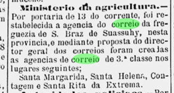
According to Paula Sobrinho (História Postal de Minas Gerais, Belo Horizonte, 1997), the station post office was created in July 1881. The Imperial Mail Guide (Guia Postal do Império) of 1880 refers to an earlier date (page VI), but since no confirming record has been found for that either in the press or through cancels, Paula Sobrinho’s input seems more reliable. A single imperial cancel is known: SMG-2851a (Coll. Karlheinz Wittig) occurs in black and blue and has a double circle with the inscription S.HELENA (ESTAÇÃO), with the date in the centre. Found within the period 1885-1891.
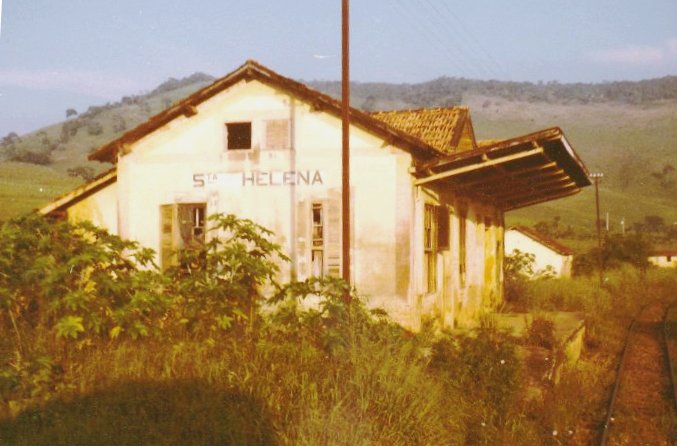
Dieser Bahnhof Santa Helena steht in keiner Beziehung zur vorhin vorgestellten gleichnamigen Ortschaft (SMG-2845). Er wurde im Juli (oder September, laut P. Sobrinho) 1879 durch die Companhia União Mineira Eisenbahngesellschaft gebaut und lag in der Caratinga-Linie, im Município von Mar d’Hespanha, über 250 km südlich der ehemaligen Provinzhauptstadt Ouro Preto entfernt. Die Bahnlinie ging 1884 zur Estrada de Ferro Leopoldina über und von 1975 bis Betriebsende 1994 gehörte sie der Rede Ferroviária Federal. Der Bahnhof stand ab 1890 im neu gegründeten Município von Guarará, und seit 1925 ist er im Município von Bicas. Nun ist das Bahnhaus abgerissen, und die Schienen wurden bereits entfernt (estacoesferroviarias.com.br).
Laut Paula Sobrinho (História Postal de Minas Gerais, Belo Horizonte, 1997) entstand das Bahnhofspostamt im Juli 1881. Zwar liest man im Kaiserlichen Postführer (Guia Postal do Império) von 1880 ein früheres Datum (auf Seite VI), aber dieses konnte weder durch die Presse noch durch Stempel bestätigt werden, und somit scheint Paula Sobrinhos Angabe zuverlässiger zu sein. Ein einziger Stempel der Kaiserzeit ist überliefert: SMG-2851a (Samml. Karlheinz Wittig) kommt in schwarz und blau vor und hat einen Doppelkreis mit der Inschrift S.HELENA (ESTAÇÃO), dazu das Datum in der Mitte. Anzutreffen im Zeitraum 1885-1891.