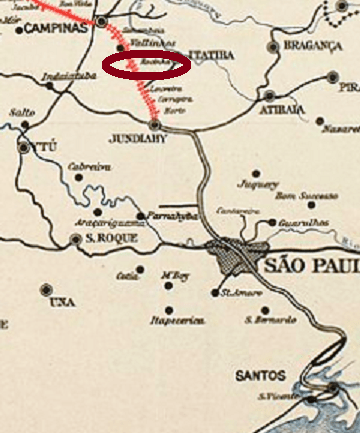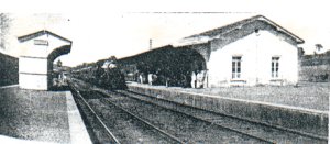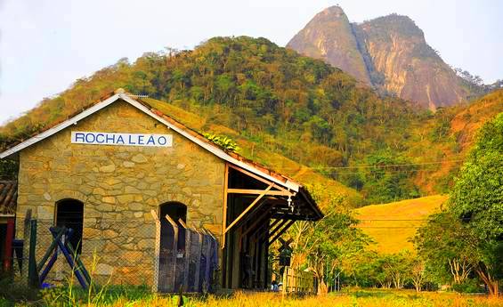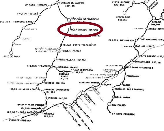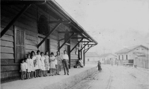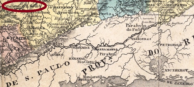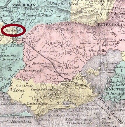
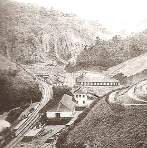
Rodeio was a train station of the Estrada de Ferro D. Pedro II Railway, Central Line, inaugurated in July 1863 in the municipality of Vassouras, and situated about 100 km northwest of Rio de Janeiro. The settlement has developed fast since then, and in October 1872 it was declared a district. In December 1943 the district was renamed Engenheiro Paulo de Frontin, as a tribute to the renowned Brazilian politician and engineer (1860-1933), and since November 1958 it has an own municipality.
The train station and the railway passed to the Estrada de Ferro Central do Brasil in 1889 and to the Rede Ferroviária Federal S.A. in 1975. In 1996 the rail line was closed, and now the station house hosts the Culture Secretary of the municipality.
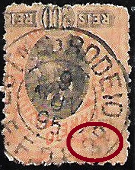
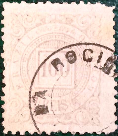
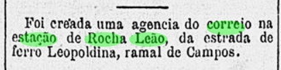
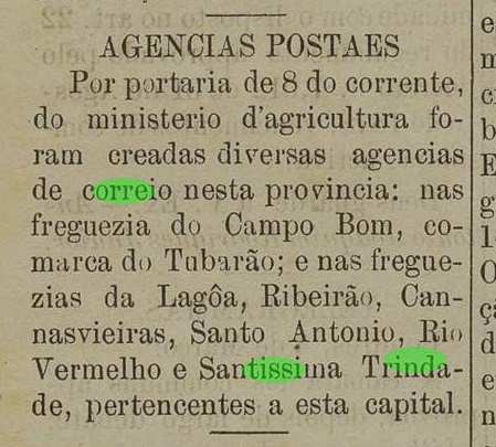
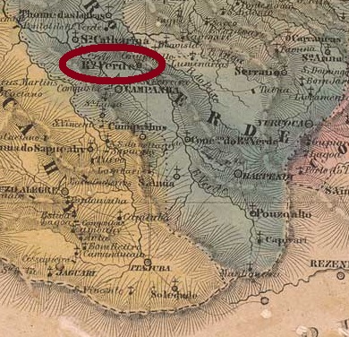
According to Nova Monteiro (Administrações e Agências Postais do Brasil Império, 1798/1869, in Brasil Filatélico 18-21, 1934-5, Reprint SPP, 1994-9), the station post office was created in August 1863. Four imperial cancels are known. RRJ-2155a is certainly the oldest one, found in objects dated until 1877, and already presented by Paulo Ayres (1937) under #1440:
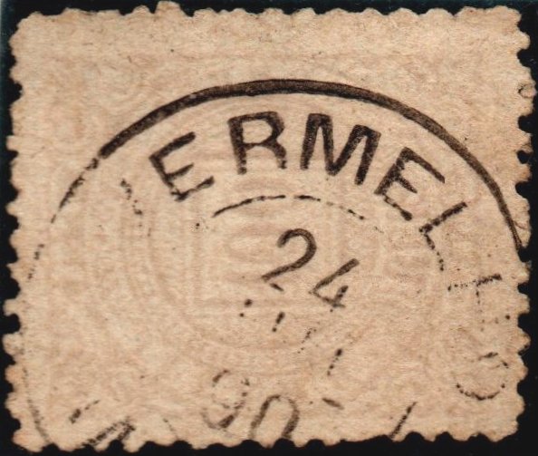
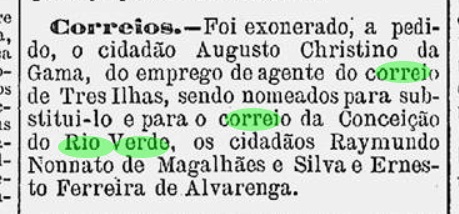
RRJ-2155b (Coll. José A. Junges) has only a double circle with the inscription RODEIO above and the date in the centre. Used 1885-1886. RRJ-2155c (image from the internet) has also a double circle with the inscription EST. Do RODEIO above and (E.F.D.P.2Ọ) below, with date in the centre. One exemplar found from 1896. RRJ-2155d (image from the internet) is a variant of the former, but now with a spectacular misprint below, for it mentions (E.F.D.P.3Ọ) below, which would mean Estrada de Ferro D. Pedro the Third, an Emperor who never existed. Since we can expect that the mistake was soon corrected, this cancel must be very rare:

Rodeio war ein Bahnhof entlang der Hauptlinie der Estrada de Ferro D. Pedro II, der im Juli 1863 im Município von Vassouras eingeweiht wurde, etwa 100 km nordwestlich von Rio de Janeiro entfernt. Die Siedlung um den Bahnhof wuchs schnell, und im Oktober 1872 wurde daraus ein Distrikt. Dieser wurde im Dezember 1843 als Engenheiro Paulo de Frontin umgetauft, um dem berühmten Politiker und Ingenieur (1860-1933) Ehre zu erweisen. Seit November 1958 ist Engenheiro Paulo de Frontin ein eigener Município.
Die Bahnlinie und auch der Bahnhof gingen in 1889 im Besitz der Estrada de Ferro Central do Brasil, und in 1975 zur Rede Ferroviária Federal S. A. Der Bahnbetrieb wurde in 1996 eingestellt, und nun dient das Bahnhofsgebäude als Kulturabteilung der Ortsverwaltung.
Laut Nova Monteiro (Administrações e Agências Postais do Brasil Império, 1798/1869, in Brasil Filatélico 18-21, 1934-5, Reprint SPP, 1994-9) entstand das Bahnhofspostamt im August 1863. Vier Abstempelungen der Kaiserzeit sind überliefert. RRJ-2155a ist sicherlich die Älteste davon, anzutreffen auf Objekten mit Datum bis 1877, wie bereits durch Paulo Ayres (1937) unter Nr. 1440 vorgestellt:

RRJ-2155b (Samml. José A. Junges) hat nur einen Doppelkreis mit der Inschrift RODEIO oben und dem Datum in der Mitte. Benutzt 1885-1886. RRJ-2155c (Abb. aus dem Internet) hat auch einen Doppelkreis mit der Inschrift EST. DO RODEIO oben und (E.F.D.P.2Ọ) unten, mit Datum in der Mitte. Ein einziges Exemplar aus dem Jahr 1896 gefunden. RRJ-2155d (Abb. aus dem Internet) ist eine Variante vom Vorgänger, nun aber mit einem spektakulären Fehler unten, denn es heißt hier (E.F.D.P.3Ọ), was Estrada de Ferro D. Pedro der Dritte bedeuten würde, ein Kaiser, den es nie gab. Da wir davon ausgehen können, dass dieser Patzer bald behoben wurde, muss dieser Stempel sehr selten sein: